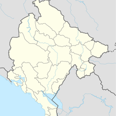
Andrijevica Municipality, Mountain municipality in northern Montenegro
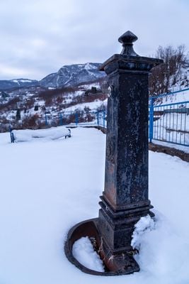
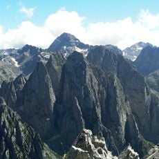
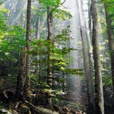
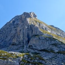
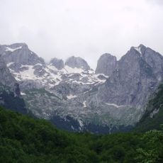
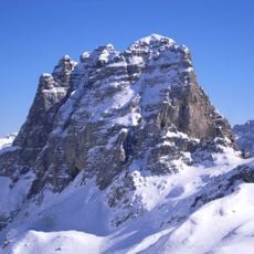
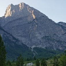
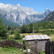
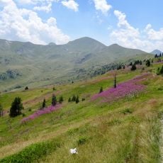
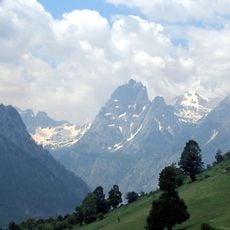
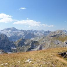
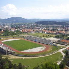
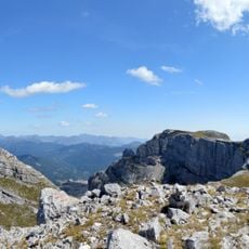
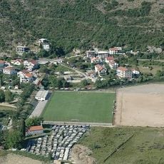
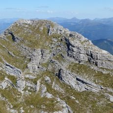
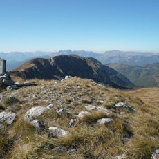
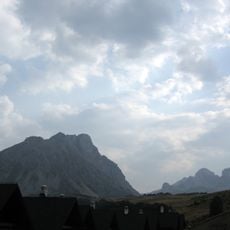
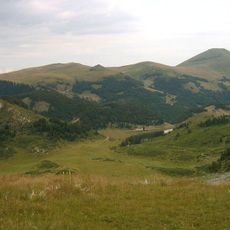
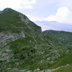
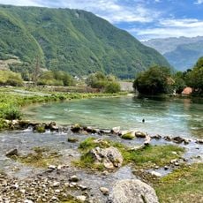
Andrijevica is a municipality in northern Montenegro situated on a high mountain plateau surrounded by several major mountain ranges. The settlement and its villages spread across rolling terrain dotted with forests and alpine meadows.
The municipality took its current administrative form in 1991 after serving for decades as an administrative center for a larger territorial district. This restructuring followed the major political transitions that reshaped the entire region.
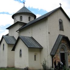
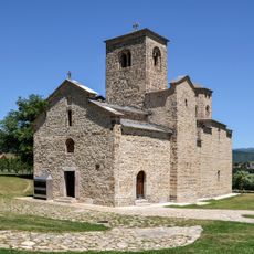
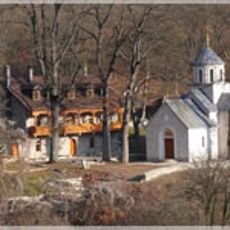
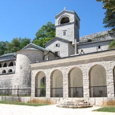
The Eastern Orthodox tradition shapes daily life here, with the faith woven into local celebrations and community gatherings throughout the year. Religious occasions bring residents together and remain central to how people mark important moments.
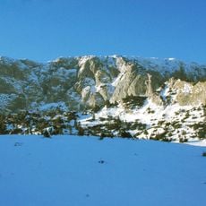
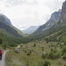
The best time to visit is from May through September when the mountain passes are generally passable and road conditions are manageable. Visitors should be prepared for variable weather and winding roads typical of this mountainous region.
The population has declined significantly since the mid-20th century, reflecting larger migration patterns that have shaped this rural mountainous area. This demographic shift has transformed the character of many villages across the territory.
The community of curious travelers
AroundUs brings together thousands of curated places, local tips, and hidden gems, enriched daily by 60,000 contributors worldwide.