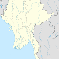
Sittaung River, River system in Bago Region, Myanmar.
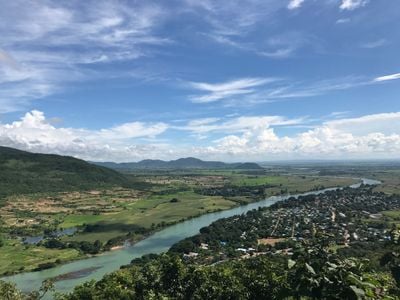
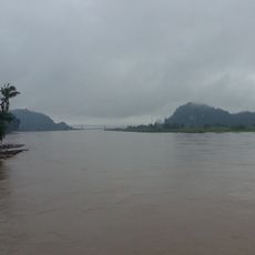
The Sittaung River flows from the Shan Hills southward toward the Gulf of Martaban, traveling over 400 kilometers through central Myanmar. The waterway widens considerably as it approaches the coast, where mangrove wetlands dominate the landscape.
The river basin formed when the Irrawaddy River shifted westward thousands of years ago, leaving this valley behind. This geological movement shaped the valley that the Sittaung River now occupies.
Local people have built their lives around fishing and water-based trade along this waterway. The river shapes how communities here work and move goods through the region.
Small motorboats can navigate the upper sections year-round, but strong tidal currents at the mouth limit larger vessel access. Travelers should plan trips around tidal patterns for easier passage.
The river valley is noticeably oversized compared to the water volume flowing through it today. This mismatch tells the story of how water patterns shifted over thousands of years.
The community of curious travelers
AroundUs brings together thousands of curated places, local tips, and hidden gems, enriched daily by 60,000 contributors worldwide.