Alphen aan den Rijn
Alphen aan den Rijn, Roman fortress and municipality in South Holland, Netherlands
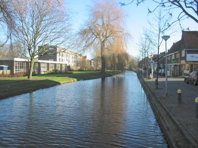
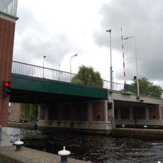
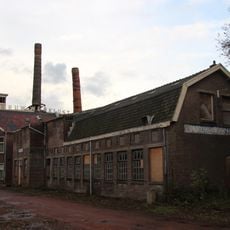
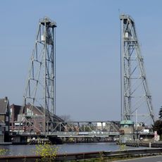
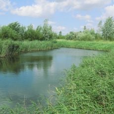
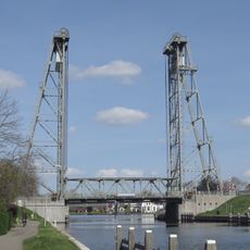
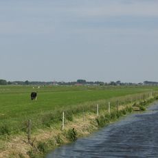
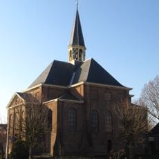
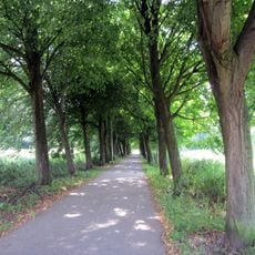
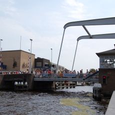
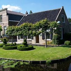
Alphen aan den Rijn is a town along the Old Rhine's banks, crisscrossed by waterways and canals that connect residential and commercial zones. It extends in a linear pattern beside the river, mixing green spaces and modern buildings with older structures from different eras.
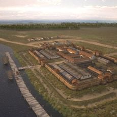
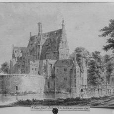
The Romans built the castellum Albaniana around 40 AD as a military outpost on the empire's northern border. The settlement then experienced centuries of changes but maintained its importance as a transportation hub along the Rhine throughout its history.
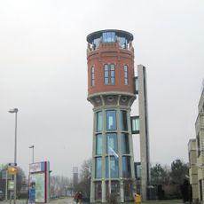
The town's name traces back to Latin roots, and Roman heritage remains woven into everyday life throughout the streets and neighborhoods. Locals and visitors alike encounter reminders of this ancient past simply by walking around the city.
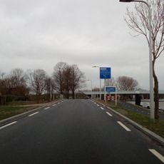
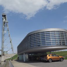
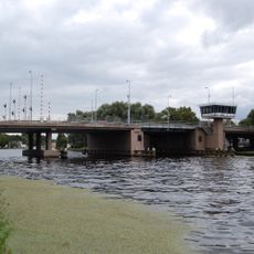
The central train station connects the town directly to major Dutch cities, making it easy to arrive from elsewhere. An extensive network of cycling paths and waterways offers flexible ways to get around once you are there.
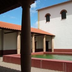
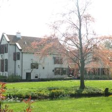
The Archeon park displays full-scale reconstructions of buildings from different historical periods. Visitors can experience how people lived and worked in prehistoric, ancient, and medieval times through these physical recreations.
Location: South Holland
Capital city: Alphen aan den Rijn
Elevation above the sea: 2 m
Part of: Groene Hart
Shares border with: Nieuwkoop, Bodegraven-Reeuwijk, Kaag en Braassem, Zoetermeer, Leiderdorp, Waddinxveen, Zoeterwoude, Zuidplas
Phone: +310172
Email: gemeente@alphenaandenrijn.nl
Website: https://alphenaandenrijn.nl
GPS coordinates: 52.13333,4.65000
Latest update: December 13, 2025 12:37
Archeon
2 km
Vogelpark Avifauna
713 m
Queen Juliana Bridge
909 m
Nieuw Werklust
6.6 km
Zegerplas
2.4 km
Hefbrug Boskoop
6.6 km
Bentwoud, Netherlands
8.6 km
Nigrum Pullum
5.5 km
Hefbrug Gouwesluis
2.4 km
Molenviergang Aarlanderveen
4.8 km
Esveld Aceretum
5.6 km
Sint-Bonifatiuskerk, Alphen aan den Rijn
948 m
Adventskerk
924 m
Oudshoornse kerk
1.2 km
Groot Poelgeest
3.8 km
Groene Hartpad
7.5 km
Gouwebos
7.9 km
Koningin Máximabrug
1.5 km
Het Kasteel
1.8 km
Alphensebrug
1 km
Watertoren
4.5 km
Brugbedieningscentrum Steekterpoort
2.4 km
Land van Belofte, Moerkapelle
10.1 km
Boomkwekerijmuseum
6.7 km
Schildpaddencentrum
1.5 km
Sint Willibrorduskerk
8.4 km
Foreest
2.3 km
Dr. Albert Schweitzerbrug
1.1 kmVisited this place? Tap the stars to rate it and share your experience / photos with the community! Try now! You can cancel it anytime.
Discover hidden gems everywhere you go!
From secret cafés to breathtaking viewpoints, skip the crowded tourist spots and find places that match your style. Our app makes it easy with voice search, smart filtering, route optimization, and insider tips from travelers worldwide. Download now for the complete mobile experience.
A unique approach to discovering new places❞
— Le Figaro
All the places worth exploring❞
— France Info
A tailor-made excursion in just a few clicks❞
— 20 Minutes