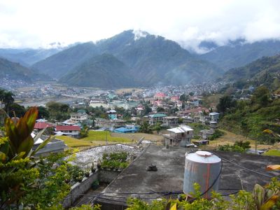
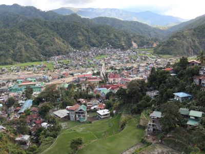
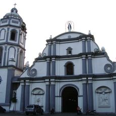
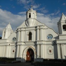
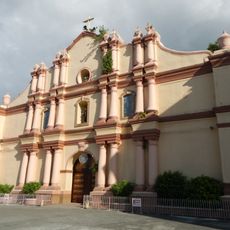
Bontoc, Municipal capital in Mountain Province, Philippines
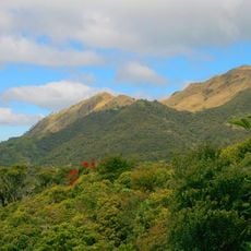
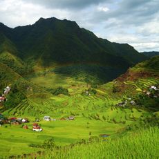
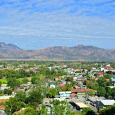
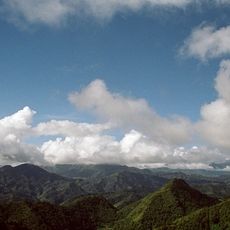
Bontoc is a municipality situated at about 1,170 meters elevation on Luzon Island, with mountains surrounding it and the Chico River flowing through the area. The town functions as a regional administrative center for the Mountain Province.
The Philippine Commission established the town in 1908 as an administrative center, with Samuel Kane overseeing infrastructure development including a provincial building and transportation routes. This early organization shaped its role as a regional hub.
The Lang-ay Festival happens yearly, showcasing traditional music, dances, and ceremonies performed by members of the indigenous Bontoc community. You can observe how local artists keep their ancestral customs alive through these public celebrations.
The town is accessible by bus from Baguio City, with regular services departing from the Dangwa Terminal and Rising Sun station. Travel times can vary depending on weather conditions in the mountain region.
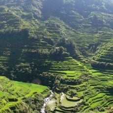
The Stone Agricultural Calendar and Alab petroglyphs are National Cultural Treasures featuring ancient carvings that document farming cycles. These artifacts give visitors insight into how ancestors understood the land and seasons.
Location: Mountain Province
Inception: 1908
Elevation above the sea: 1,173 m
Shares border with: Sadanga, Hungduan, Sabangan
Website: http://lgubontoc.gov.ph
GPS coordinates: 17.09000,120.97722
Latest update: December 20, 2025 02:51
Banaue Rice Terraces
24.1 km
Mount Pulag
55.4 km
Rice Terraces of the Philippine Cordilleras
24.3 km
Santa Maria Church
60.9 km
Mount Binuluan
28.4 km
Cassamata Hill National Park
67.4 km
Balbalasang-Balbalan National Park
42.1 km
Candon Church
57.3 km
Bangar Church
62.8 km
Balaoan Church
68 km
Batad Rice Terraces
24.2 km
Mount Pulag National Park
56.4 km
Isabelo Abaya historical marker
57.4 km
Bontoc Cathedral
167 m
Cry of Candon historical marker
57.4 km
Church of Sta. Maria historical marker
60.9 km
The Battle of Bessang Pass historical marker
36.9 km
New Highest Point
44.4 km
Church of Narvacan historical marker
64.6 km
Sumaguing Cave
8.3 km
Memorare historical marker (Gregorio del Pilar)
37.5 km
Battle of Tirad Pass historical marker
37.5 km
Tabuk Cathedral
61.3 km
Church of Candon historical marker
57.4 km
Surrender of General Yamashita historical marker
36.7 km
The Base Hospital historical marker
59.3 km
Hanging Coffins of Sagada
7.7 km
Church of Sta. Maria historical marker
60.9 kmVisited this place? Tap the stars to rate it and share your experience / photos with the community! Try now! You can cancel it anytime.
Discover hidden gems everywhere you go!
From secret cafés to breathtaking viewpoints, skip the crowded tourist spots and find places that match your style. Our app makes it easy with voice search, smart filtering, route optimization, and insider tips from travelers worldwide. Download now for the complete mobile experience.
A unique approach to discovering new places❞
— Le Figaro
All the places worth exploring❞
— France Info
A tailor-made excursion in just a few clicks❞
— 20 Minutes