Santiago, Independent component city in Isabela, Philippines
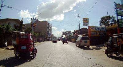
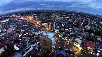
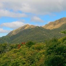
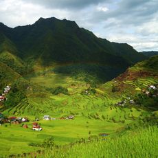
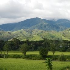
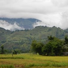
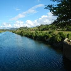
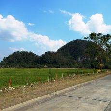
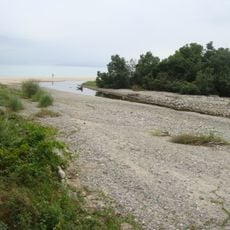
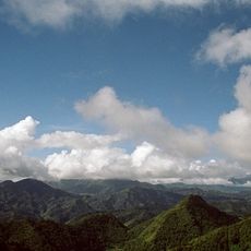
Santiago is an independent component city in Isabela located on flat terrain between mountain ranges in northern Luzon. The city spreads across a large area and is crossed by the Carig River, which shapes its geography and urban layout.
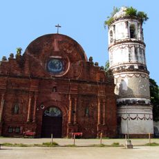
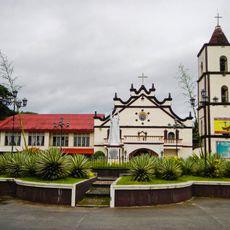
Spanish missionaries established a settlement in the 18th century along the Carig River, naming it Pueblo of Santiago Apostol de Carig. The community grew over time into an important urban center in the northern region.
The Pattaradday Festival each May brings together different ethno-linguistic groups who perform traditional dances from Gaddang and Ibanag communities. During this time, you can observe how local residents honor and celebrate their distinct cultural practices.
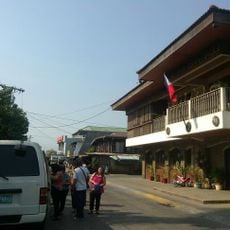
The city has several bus terminals and an integrated transportation hub that connects to surrounding provinces throughout the Cagayan Valley region. Visitors should know that public transport is the main way to explore the city and reach nearby areas.
The city has operated with complete administrative independence from the province since 1994, which is unusual for cities in this region. This self-governance allows it to manage its own local affairs without provincial oversight.
Location: Isabela
Inception: May 4, 1743
Elevation above the sea: 156 m
Shares border with: Ramon, Echague
Website: http://cityofsantiago.gov.ph
GPS coordinates: 16.68333,121.55000
Latest update: December 20, 2025 12:48
Banaue Rice Terraces
52.4 km
Mount Pulag
70.1 km
Rice Terraces of the Philippine Cordilleras
52.1 km
Tumauini Church
71.4 km
Mount Binuluan
85.2 km
Bayombong Cathedral
48 kmFuyot Springs National Park
70.5 km
Mount Guiwan
86.9 km
Salinas Natural Monument
66.6 km
Gamu Cathedral
55.5 km
Casecnan Protected Landscape
73.2 km
Saint Catherine of Siena Parish Church
57.9 km
Quirino Protected Landscape
42.2 km
Dinadiawan River Protected Landscape
70.5 km
Batad Rice Terraces
52.2 km
Mount Pulag National Park
59.9 km
Bontoc Cathedral
76.1 km
Casapsapan Beach
80 km
New Highest Point
71.2 km
Sumaguing Cave
81.1 km
Battle of Balete Pass historical marker
90.2 km
Church of Tumauini historical marker
71.3 km
Balay Na Santiago
1.1 km
Tabuk Cathedral
81.8 km
Surrender of General Yamashita historical marker
50.6 km
Hanging Coffins of Sagada
81.7 km
William Henry Scott historical marker
82 km
Ifugao Rice Terraces historical marker
57.9 kmVisited this place? Tap the stars to rate it and share your experience / photos with the community! Try now! You can cancel it anytime.
Discover hidden gems everywhere you go!
From secret cafés to breathtaking viewpoints, skip the crowded tourist spots and find places that match your style. Our app makes it easy with voice search, smart filtering, route optimization, and insider tips from travelers worldwide. Download now for the complete mobile experience.
A unique approach to discovering new places❞
— Le Figaro
All the places worth exploring❞
— France Info
A tailor-made excursion in just a few clicks❞
— 20 Minutes