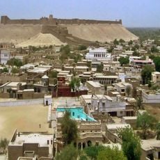
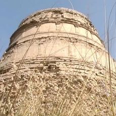
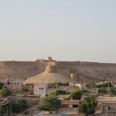
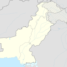
Upper Sind Frontier District, Administrative district in northern Sindh Province, Pakistan.
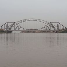
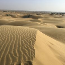
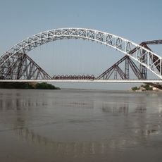
This administrative district in northern Sindh Province lies between Dera Ghazi Khan District and Baluchistan, with the Indus River running along its eastern edge. Six administrative subdivisions manage local affairs throughout the region.
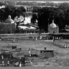
The district was established in 1847 during British rule as an administrative region. After independence, it was renamed in 1952 when special regulations that had governed it for over a century were finally repealed.
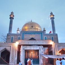
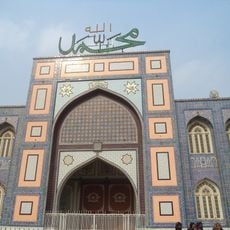
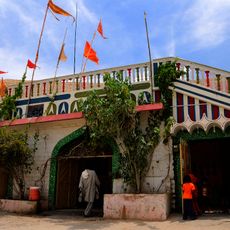
The local population speaks Sindhi as the main language, and this cultural identity shapes how communities gather, trade, and celebrate throughout the region. Visitors can observe these traditions in village markets and in the way people conduct daily life together.
The region can be explored through six administrative subdivisions, each covering different areas with their own characteristics. Since this is a rural district, visitors should expect variable infrastructure and transport arrangements that operate on local patterns.
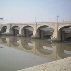
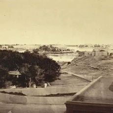
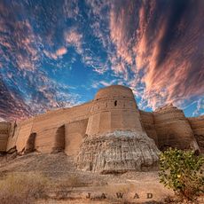
A major water engineering project from 1879 transformed the landscape and made farming possible across previously flooded terrain. The embankment system drained swampy jungle into productive agricultural land that still defines the region today.
The community of curious travelers
AroundUs brings together thousands of curated places, local tips, and hidden gems, enriched daily by 60,000 contributors worldwide.