Barikot Tehsil, tehsil in Khyber Pakhtunkhwa, Pakistan
Location: Swat District
Capital city: Barikot
GPS coordinates: 34.67778,72.22333
Latest update: March 7, 2025 13:21
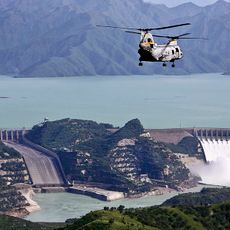
Tarbela Dam
78.7 km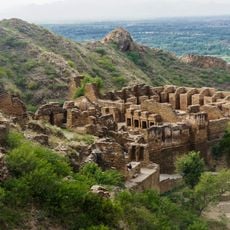
Takht-i-Bahi
50.4 km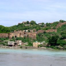
Attock Fort
87.5 km
Pushkalavati
72.2 km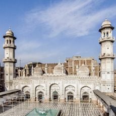
Mohabbat Khan Mosque
95.3 km
Hund
76.1 km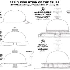
Butkara Stupa
15.5 km
Dargah Pir Ratan Nath Jee
94.2 km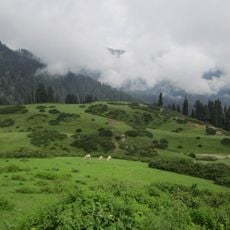
Gabin Jabba
56 km
Kalibari Mandir, Peshawar
94.2 km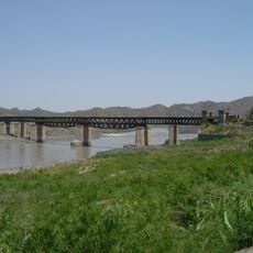
Attock Bridge
89.7 km
Seri Bahlol
53.3 km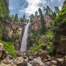
Jarogo Waterfall
47.3 km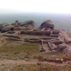
Ranigat
53.9 km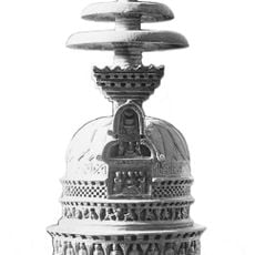
Loriyan Tangai
36 km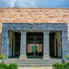
Swat Museum
15.7 km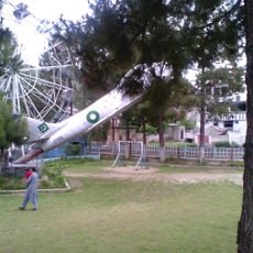
Fizagat Recreation Park
19.1 km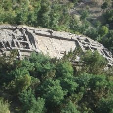
Mahmud Ghaznavi Mosque
11.1 kmBadwan
23.8 km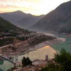
Youyi Bridge
66.7 kmAli Baig Azad Kashmir
87.1 km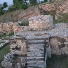
Aziz Dheri
50.6 km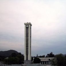
GIK Institute Clock Tower
78.1 km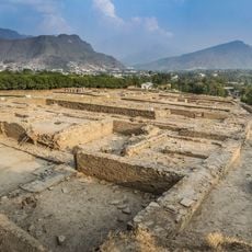
Barikot Ghundai
814 m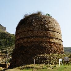
Shingardara stupa
2.7 km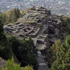
Fort of Raja-Gera
10.9 km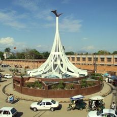
Bacha Khan Monument
56.8 km
Hund Museum
76.3 kmVisited this place? Tap the stars to rate it and share your experience / photos with the community! Try now! You can cancel it anytime.
Discover hidden gems everywhere you go!
From secret cafés to breathtaking viewpoints, skip the crowded tourist spots and find places that match your style. Our app makes it easy with voice search, smart filtering, route optimization, and insider tips from travelers worldwide. Download now for the complete mobile experience.

A unique approach to discovering new places❞
— Le Figaro
All the places worth exploring❞
— France Info
A tailor-made excursion in just a few clicks❞
— 20 Minutes