Enable Location

We need your location to show you interesting places around you

Discover nearby places

Find interesting locations and hidden gems around you

Precise directions

Get accurate directions and distances to places

Your location is never shared with other users. It's only used when you tap the location button.

Swat District

Log in to your account

Start exploring — it's free

Trusted by 63,559 travelers worldwide

Continue with Google
Continue with Apple
or

We will send you a code to connect

By continuing, you accept our Terms and Conditions and our Privacy Policy

Check your inbox

We've sent a pincode in your inbox. Please enter the code below.

Discussion Reviews 3 Photos
155k Popularity

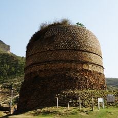
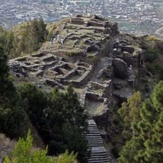
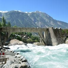
Swat District, Administrative district in Khyber Pakhtunkhwa, Pakistan.

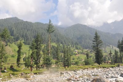
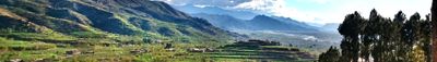
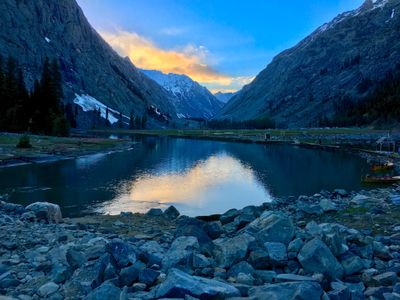
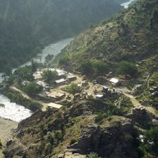
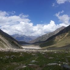
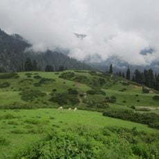
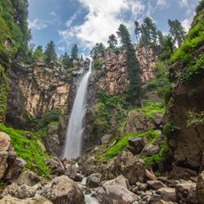
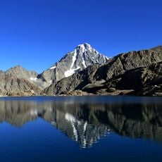
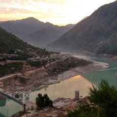
Swat District lies in the mountains of Malakand with snow-capped peaks, dense forests, and the Swat River flowing through its central valley. The terrain is rugged with narrow valleys where settlements cling to the hillsides.

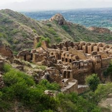
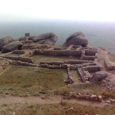
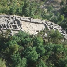
The territory was an independent state under Saidu Baba in the 1800s before becoming a British-administered princely state in 1918. This transition shaped the district's boundaries and governance structure.

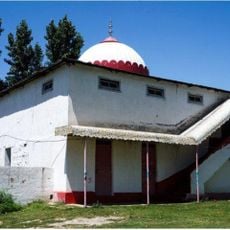
The local population speaks Pashto and gathers at mosques and shrines that shape daily community life throughout the region. These sacred spaces serve as important meeting points where social bonds are strengthened.

Saidu Sharif Airport near Mingora provides the main air entry point, with road travel connecting most villages and towns throughout the region. Winter weather can bring snow to mountain passes, affecting travel times.

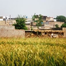
Several villages in the district grow apple varieties that are sold across Pakistan, making agriculture a defining part of local life. This farming tradition has supported families for generations.

The community of curious travelers

AroundUs brings together thousands of curated places, local tips, and hidden gems, enriched daily by 60,000 contributors worldwide.

Start exploring
Inception
October 14, 1969
Capital city
Saidu Sharif
Shares border with
Buner District
GPS coordinates
34.78278,72.36194
Latest update
December 18, 2025 11:41
Reviews
Share your experience

No review yet

Discussions
Start a discussion...

No discussion yet

« Swat District - Administrative district in Khyber Pakhtunkhwa, Pakistan » is provided by Around Us (aroundus.com). Images and texts are derived from Wikimedia project under a Creative Commons license. You are allowed to copy, distribute, and modify copies of this page, under the conditions set by the license, as long as this note is clearly visible.

Discover hidden gems everywhere you go!

From secret cafés to breathtaking viewpoints, skip the crowded tourist spots and find places that match your style. Our app makes it easy with voice search, smart filtering, route optimization, and insider tips from travelers worldwide. Download now for the complete mobile experience.

Around Us App Screenshot

A unique approach to discovering new places

Le Figaro

All the places worth exploring

France Info

A tailor-made excursion in just a few clicks

20 Minutes

Around Us
Travel Guide & Maps
Download

Send to your phone

QR Code
1

Open the camera app on your mobile.

2

Point at the QR code with your camera. A notification will appear.

3

Tap the notification to open the link.