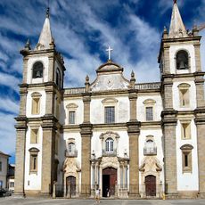
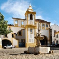
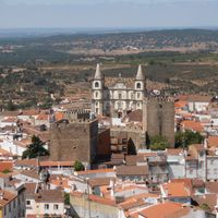
Portalegre, Administrative center in Alto Alentejo, Portugal
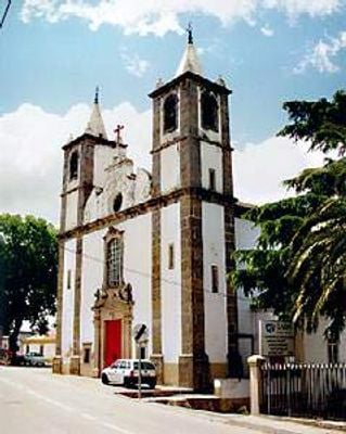
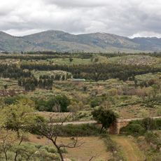
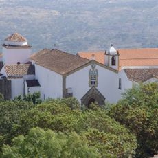
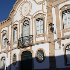
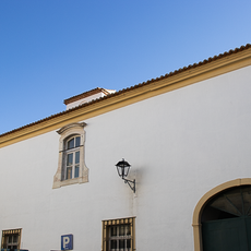
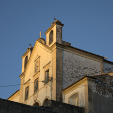
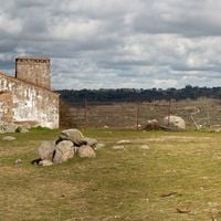
Portalegre is a city in the Alto Alentejo region featuring hills, forests, and a historic center surrounded by old walls built centuries ago. The surrounding countryside includes pine forests, farmland, and the nearby Serra de São Mamede mountain range that shapes the local landscape.
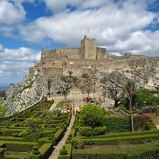
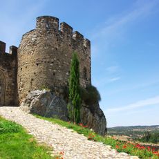
The city was founded in the Middle Ages as a border defense post and was later reinforced with protective walls in 1290 by King Denis. It became an important trading center, and for centuries its tapestry industry shaped its economic importance and reputation.
The city has long been known for its tapestry production, with workshops and museums showing how weavers created intricate textiles by hand over many generations. This craft remains part of daily life here, and you can see references to it throughout the streets and local shops.
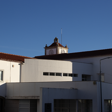
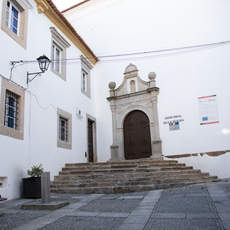
The city is near hiking trails through the Serra de São Mamede, where visitors can explore forests and open landscapes at different difficulty levels. The city center is easily walkable, and museums, shops, and restaurants are clustered in the historic old streets downtown.
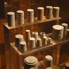
The Robinson Cork Factory displays tall industrial chimneys and offers tours showing how cork was traditionally processed using methods passed down through generations. This working facility reveals how important cork harvesting has been to the region's livelihood for over a century.
The community of curious travelers
AroundUs brings together thousands of curated places, local tips, and hidden gems, enriched daily by 60,000 contributors worldwide.