
Branojevac, Berggipfel in Serbien
Location: Serbia
Elevation above the sea: 412 m
GPS coordinates: 43.88667,20.16667
Latest update: March 12, 2025 03:03
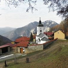
Sretenje Monastery
3.3 km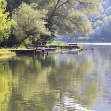
Međuvršje Lake
5.6 km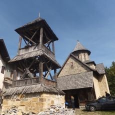
Blagoveštenje Monastery
1.9 km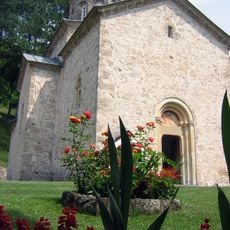
Monastery of Holy Trinity
2.7 km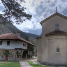
Nikolje Kablarsko Monastery
4.1 km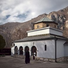
Monasterio de Preobraženje
2.9 km
Vavedenje Monastery
6.9 km
Monastery Jovanje
5.1 km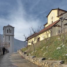
Uspenje Monastery
4.7 km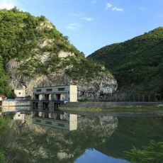
Ovčar-Kablar Lake
1.8 km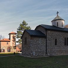
Vaznesenje Monastery
5 km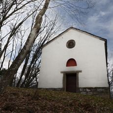
Ilinje Monastery (Kablar)
1.9 km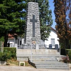
Memorial ossuary to fallen soldiers in 1912-1918, Čačak
14 km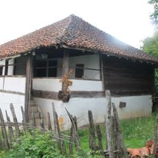
Čolića kuća u Vranićima
13.7 km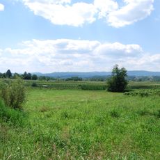
Velika humka
7.5 km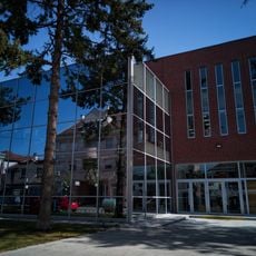
City Library "Vladislav Petković Dis" Čačak
14.4 km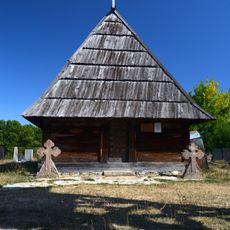
Pranjani wooden church
14.3 km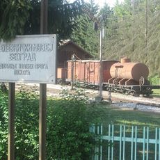
Schmalspurmuseum Požega
12.2 km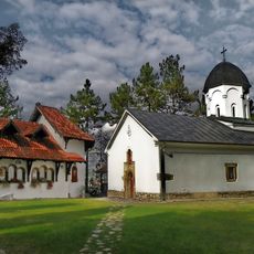
Church of the Mother of God in Prilipac
8.4 km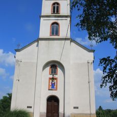
Crkva Pokrova Presvete Bogorodice (Miokovci)
10.1 km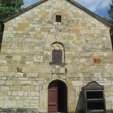
Church of Saints Peter and Paul, Gornja Dobrinja
10.8 km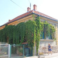
Kuća Ratka Mitrovića
14.1 km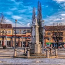
Fontaine commémorative à Požega
11.5 km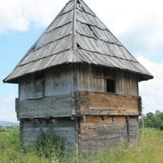
Gavrovića čardak
14.3 km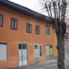
Maison Aćimović à Požega
11.3 km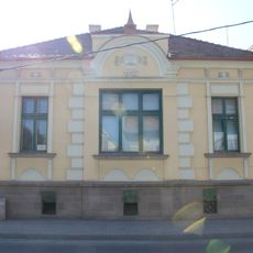
Bâtiments résidentiels situés 7 et 9 rue Gospodar Jovanova à Čačak
14.3 km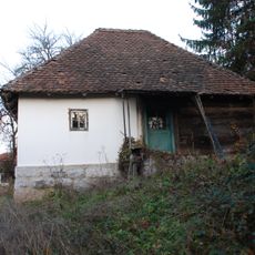
Maison de Vladimir Radovanović à Godovik
13.5 km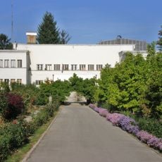
Institut de culture fruitière - Čačak
14.4 kmReviews
Visited this place? Tap the stars to rate it and share your experience / photos with the community! Try now! You can cancel it anytime.
Discover hidden gems everywhere you go!
From secret cafés to breathtaking viewpoints, skip the crowded tourist spots and find places that match your style. Our app makes it easy with voice search, smart filtering, route optimization, and insider tips from travelers worldwide. Download now for the complete mobile experience.

A unique approach to discovering new places❞
— Le Figaro
All the places worth exploring❞
— France Info
A tailor-made excursion in just a few clicks❞
— 20 Minutes