Kirov Oblast

Log in to your account

AroundUs is a community-driven map of interesting places, built by curious explorers like you. It grows with every review, story, and photo you share.
Connect to save your favorite spots, contribute locations, and create personalized routes.
Continue with Google
Continue with Apple
Continue with X
Continue with Facebook
Continue with email
By continuing, you accept our Terms and Conditions and our Privacy Policy
Create an account
Add to collection
Map
Suggest a change
Share

Kirov Oblast, Administrative region in Eastern European Russia.

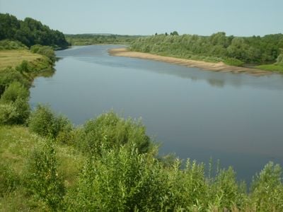
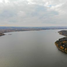
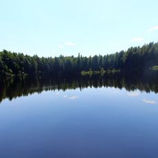
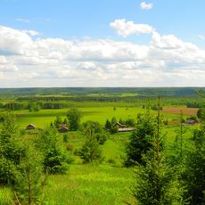
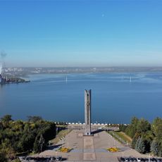
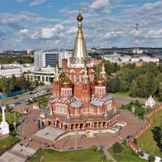
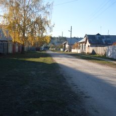
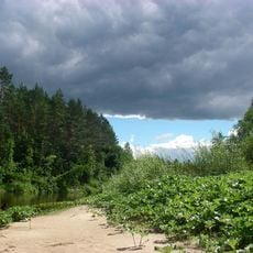
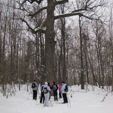
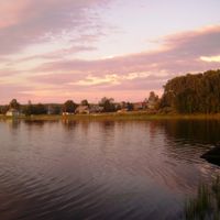
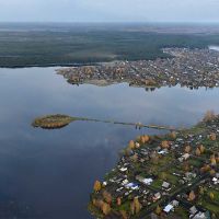
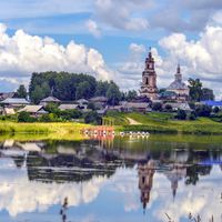
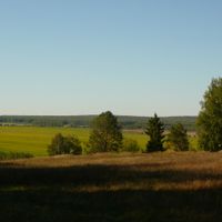
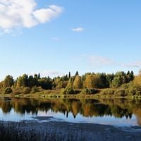
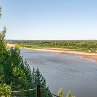
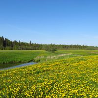
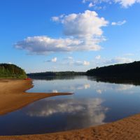
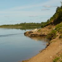
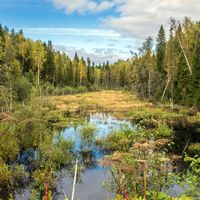
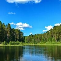
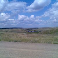
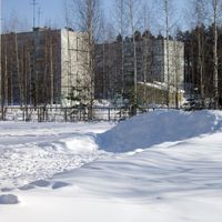
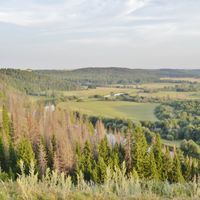
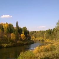
Kirov Oblast is an administrative division in eastern European Russia that covers wide forested areas and several river courses. It belongs to the Volga Federal District and includes both rural villages and small industrial towns.

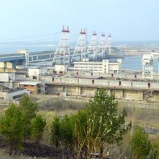
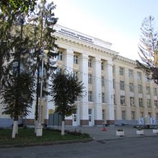
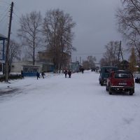
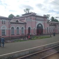
This region became a separate administrative unit in December 1936. During the Soviet period the area developed into a center for timber processing and light industry, mainly along railway lines.

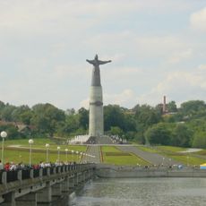
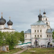
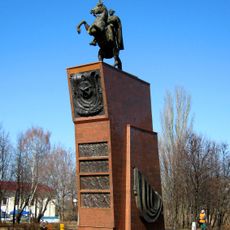
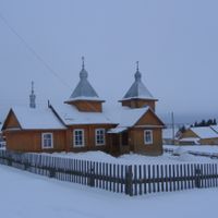
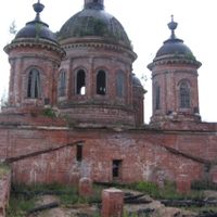
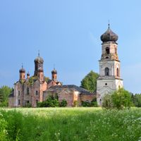
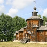
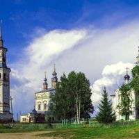
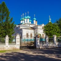
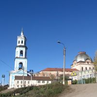
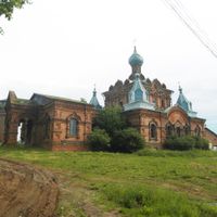
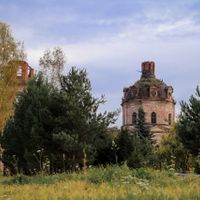
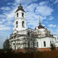
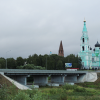
The territory takes its name from Sergei Kirov, a Soviet politician from the 1930s. Today the region is known for traditional crafts, especially painted wooden figurines and textiles made in several workshops that continue these practices.

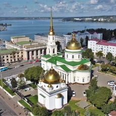
Visitors reach the region most easily through the capital Kirov, which offers air and rail connections. The best time to travel is between May and September when forest paths are dry and accessible.

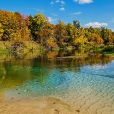
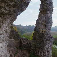
The territory holds numerous natural mineral springs, especially in the Kumyonsky area, where some healing waters are used for therapeutic purposes. The region also contains phosphate rock deposits that are of geological interest.

Location: Russia

Inception: December 7, 1936

Capital city: Kirov

Reference: RU-KIR

Part of: European Russia, Volga Federal District

Shares border with: Arkhangelsk Oblast, Komi Republic, Perm Krai, Udmurtia, Tatarstan, Mari El, Nizhny Novgorod Oblast, Kostroma Oblast, Vologda Oblast, Perm Oblast, Gaynsky District, Sivinsky District

Website: http://kirovreg.ru

GPS coordinates: 58.76667,49.83333

Latest update: December 15, 2025 01:00

Photos
Around this place
152 mm howitzer M1943
Russian Federation

152 mm howitzer M1943

264 km
Sheremetev castle
Russian Federation

Sheremetev castle

347.7 km
Izhevsk Reservoir
Russian Federation

Izhevsk Reservoir

286.8 km
Mother Patroness Monument
Russian Federation

Mother Patroness Monument

330.1 km
Shaytan
Russian Federation

Shaytan

187.3 km
Izhevsk Zoo
Russian Federation

Izhevsk Zoo

289.8 km
Northern Ridge
Russian Federation

Northern Ridge

112.5 km
People's Friendship Monument
Russian Federation

People's Friendship Monument

291.8 km
St. Michael's Cathedral
Russian Federation

St. Michael's Cathedral

292.4 km
Заповедник "Нургуш"
Russian Federation

Заповедник "Нургуш"

116.2 km
Uspensky Trifonov Monastery
Russian Federation

Uspensky Trifonov Monastery

20.2 km
Mariy Chodra National Park
Russian Federation

Mariy Chodra National Park

304.1 km
Cheboksary Reservoir
Russian Federation

Cheboksary Reservoir

331.7 km
Mari State University
Russian Federation

Mari State University

264.3 km
National Drama Theatre M. Shketan
Russian Federation

National Drama Theatre M. Shketan

264.2 km
Monument to Vasily Chapayev in Cheboksary
Russian Federation

Monument to Vasily Chapayev in Cheboksary

333 km
Russian Federation

Monument to the Crocodile

293.2 km
Alexander Nevsky Cathedral
Russian Federation

Alexander Nevsky Cathedral

292.7 km
Alexandrovsky Garden
Russian Federation

Alexandrovsky Garden

19.6 km
Mozhginsky District
Russian Federation

Mozhginsky District

300.8 km
Bolshaya Kokshaga
Russian Federation

Bolshaya Kokshaga

278 km
Chuvash State Pedagogical University
Russian Federation

Chuvash State Pedagogical University

330.9 km
Nechkinsky National Park
Russian Federation

Nechkinsky National Park

329.9 km
Presentation Cathedral, Cheboksary
Russian Federation

Presentation Cathedral, Cheboksary

329.7 km
Эрик Сапаев ячĕллĕ Мари оперăпа балет театрĕ
Russian Federation

Эрик Сапаев ячĕллĕ Мари оперăпа балет театрĕ

264.2 km
Russian Federation

Ijik

292.1 km
Main building of Izhevsky Zavod
Russian Federation

Main building of Izhevsky Zavod

292 km
Pugachov's Oak
Russian Federation

Pugachov's Oak

304.2 km
Show the full map
Reviews

Visited this place? Tap the stars to rate it and share your experience / photos with the community! Try now! You can cancel it anytime.

« Kirov Oblast - Administrative region in Eastern European Russia » is provided by Around Us (aroundus.com). Images and texts are derived from Wikimedia project under a Creative Commons license. You are allowed to copy, distribute, and modify copies of this page, under the conditions set by the license, as long as this note is clearly visible.

Discover hidden gems everywhere you go!

From secret cafés to breathtaking viewpoints, skip the crowded tourist spots and find places that match your style. Our app makes it easy with voice search, smart filtering, route optimization, and insider tips from travelers worldwide. Download now for the complete mobile experience.

Around Us App Screenshot

A unique approach to discovering new places

Le Figaro

All the places worth exploring

France Info

A tailor-made excursion in just a few clicks

20 Minutes