Udmurtia, Autonomous republic in Volga Federal District, Russia.
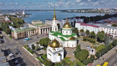
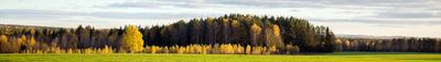
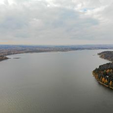
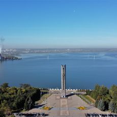
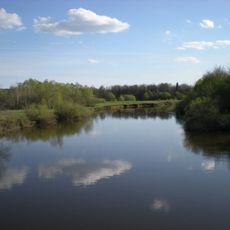
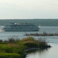
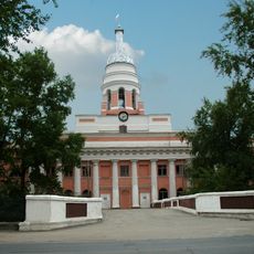
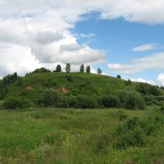
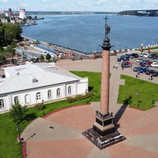
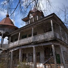
Udmurtia is an autonomous republic within the Volga Federal District, located between the Kama and Vyatka rivers and covering more than 42,000 square kilometers. The northern areas consist mainly of dense pine and spruce forests, while the southern parts open into agricultural land and industrial zones around the capital Izhevsk.
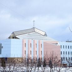
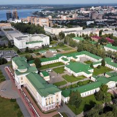
The area received autonomous status in 1920 and quickly developed into an industrial center for weapons production and metalworking under Soviet rule. Following the collapse of the Soviet Union, the region became the Udmurt Republic in 1991 and has maintained its role as a manufacturing hub.
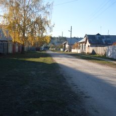
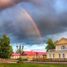
The Udmurt language appears on street signs and in local schools, while residents switch between Russian and Udmurt in daily conversations. In rural villages, visitors can hear traditional melodies played on stringed instruments like the krez and see craftspeople demonstrating embroidery techniques and wood carving passed down through generations.
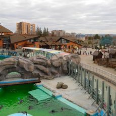
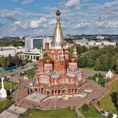
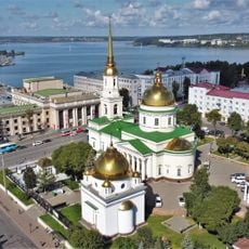
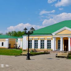
The capital Izhevsk offers regular flight and rail connections from Moscow and serves as the starting point for exploring the surrounding forests and rural areas. Roads lead to smaller towns and villages, with May through September providing the best conditions for visiting forested regions.
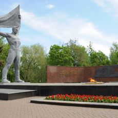
The weapons factories in Izhevsk produced more than 11 million rifles and carbines during the Second World War, exceeding the entire German arms output of that period. The production facilities from that era still shape the cityscape today and form an important part of local industrial heritage.
The community of curious travelers
AroundUs brings together thousands of curated places, local tips, and hidden gems, enriched daily by 60,000 contributors worldwide.