Donets, Major river system in Kharkiv Oblast and Belgorod Oblast, Russia and Ukraine.
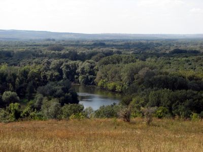
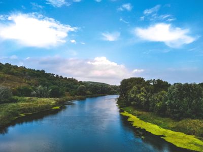
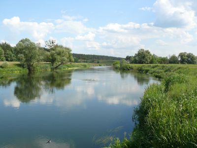
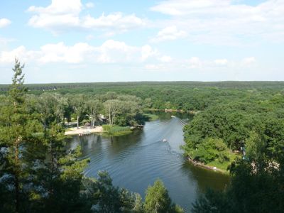
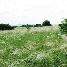
The Donets is a 1,053-kilometer (654-mile) river flowing through eastern Ukraine and southwestern Russia, linking the Central Russian Upland with the Don. Its right bank features steep chalk cliffs, while the left bank remains flat with broad floodplains.
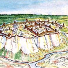
People have settled along its banks since the Paleolithic era, followed by Scythian and Sarmatian tribes. The Donets-Donbas Canal was built between 1954 and 1958 to secure water supply for the industrial region.
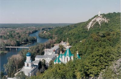
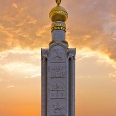
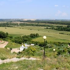
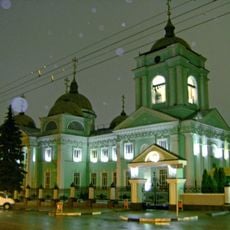
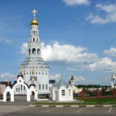
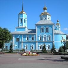
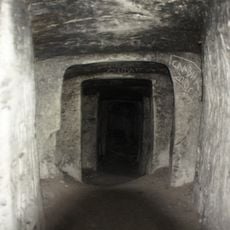
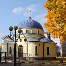
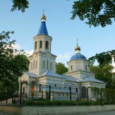
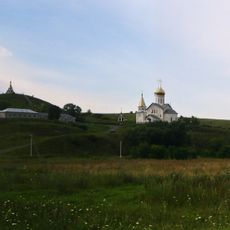
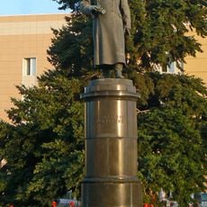
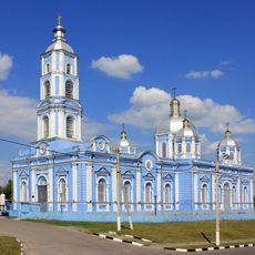
Along the river rise chalk cliffs that have sheltered monasteries and pilgrimage sites for centuries, especially near Izium. These white slopes shape the landscape and give the waterway a character travelers recognize immediately.
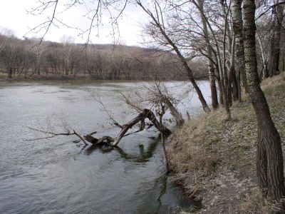
The waterway crosses several regions with varying accessibility, so travelers should check local guidance for current conditions. Riverbanks can be steep and uneven in places, so sturdy footwear helps when walking along the water.
Its name comes from ancient Iranic languages, in which Dānu meant flowing water. This linguistic trace points to Indo-European peoples who lived here thousands of years ago and left their words in the river.
The community of curious travelers
AroundUs brings together thousands of curated places, local tips, and hidden gems, enriched daily by 60,000 contributors worldwide.