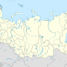
Central Siberian Plateau, Mountain range and upland between Yenisey and Lena rivers, Russia
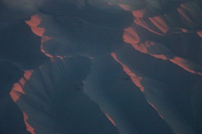
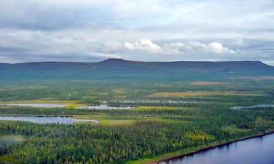
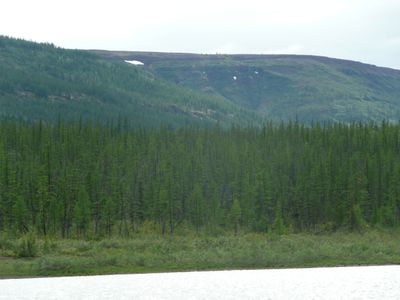
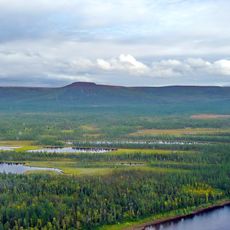
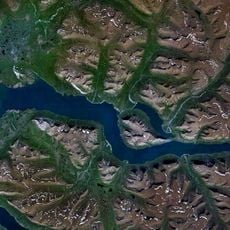
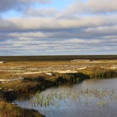
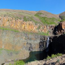
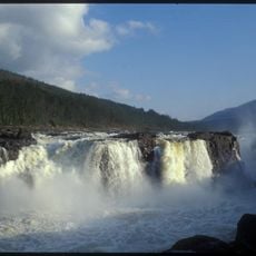
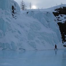
The Central Siberian Plateau stretches between the Yenisey and Lena rivers across much of northern Asia, showing a landscape of rolling elevations and deep river valleys. The highest points lie within northern mountain ranges, while southern sections transition into broad taiga forests.
The region formed through tectonic shifts hundreds of millions of years ago, when layers of rock lifted over an ancient platform. Later ice ages shaped the surface through erosion and deposits, creating the terrain visible today.
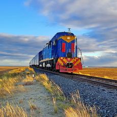
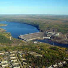
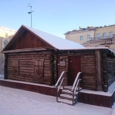
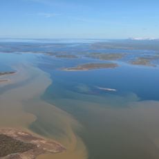
Many settlements across this region follow the major rivers, where waterways have long served as connections between remote communities. Traditional hunting and fishing practices continue to shape life in the thinly populated edges of the plateau.
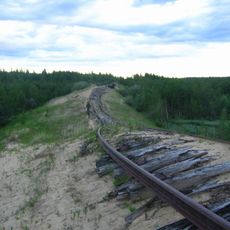
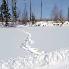
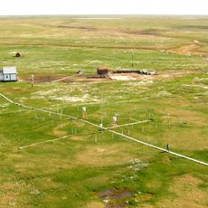
Visitors to this remote area should prepare for long travel distances and limited infrastructure, as towns lie far apart across the territory. The season strongly affects access, especially during spring and autumn when many routes become difficult to pass.
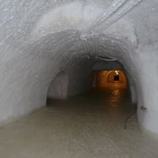
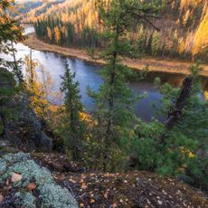
Within the deepest river valleys, microclimates appear in places, allowing warmer temperatures than the surrounding highlands. These sheltered spots enable certain plant species to grow that would not otherwise survive at this northern latitude.
The community of curious travelers
AroundUs brings together thousands of curated places, local tips, and hidden gems, enriched daily by 60,000 contributors worldwide.