Enable Location

We need your location to show you interesting places around you

Discover nearby places

Find interesting locations and hidden gems around you

Precise directions

Get accurate directions and distances to places

Your location is never shared with other users. It's only used when you tap the location button.

Pechora

Log in to your account

Start exploring — it's free

Trusted by 62,594 travelers worldwide

Continue with Google
Continue with Apple
or

We will send you a code to connect

By continuing, you accept our Terms and Conditions and our Privacy Policy

Check your inbox

We've sent a pincode in your inbox. Please enter the code below.

Pechora, Administrative town in Komi Republic, Russia

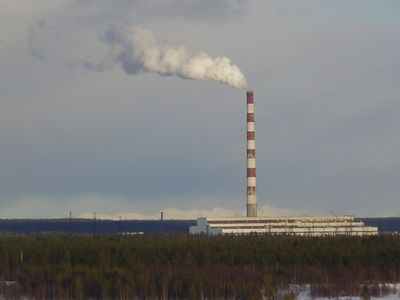
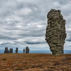
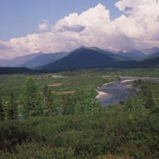
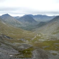
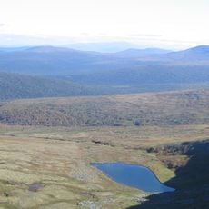
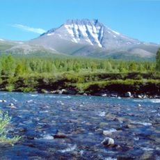
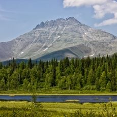
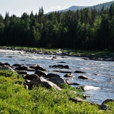
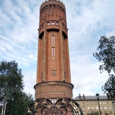
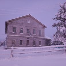
Pechora is a town in the Komi Republic that sits along the banks of the river sharing its name, roughly 90 miles from the northern Ural range. The settlement occupies a zone of coniferous forests and river landscapes typical of this northern Russian region.

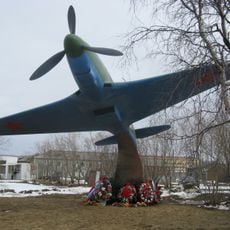
The settlement arose in 1940 as a labor camp during the Soviet push to industrialize the far north. Nine years later it gained town status as the area shifted from a camp zone to a coal mining and transport center.

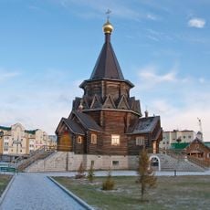
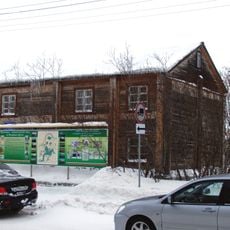
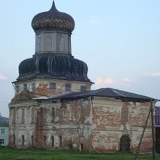
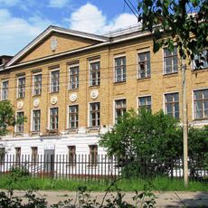
The Pechora Museum maintains a dedicated exhibition space containing documents and objects from the former Gulag period, preserving regional memory.

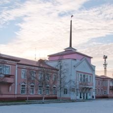
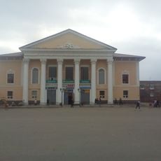
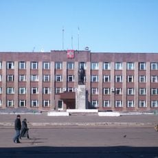
The town serves as a hub for travelers moving into the northern parts of Komi Republic, with both airport and rail station. Visitors arriving in late spring or summer should prepare for prolonged daylight hours that can alter the sense of time.

Between mid-May and late August, the area experiences white nights when the sun never drops low enough below the horizon to create full darkness. During this period, visitors encounter an almost continuous twilight that gives the region an unusually bright appearance.

The community of curious travelers

AroundUs brings together thousands of curated places, local tips, and hidden gems, enriched daily by 60,000 contributors worldwide.

Start exploring
Location
Inception
1940
Elevation above the sea
59 m
GPS coordinates
65.14415,57.21969
Latest update
December 13, 2025 16:30
Around this place
Manpupuner rock formations
Russian Federation

Manpupuner rock formations

337.2 km
Mount Narodnaya
Russian Federation

Mount Narodnaya

136.2 km
North Urals
Russian Federation

North Urals

367 km
Polar Ural
Russian Federation

Polar Ural

383.6 km
Virgin Komi Forests
Russian Federation

Virgin Komi Forests

137.6 km
Subpolar Ural
Russian Federation

Subpolar Ural

120.2 km
Otorten
Russian Federation

Otorten

380.4 km
Pechora-Ilych Nature Reserve
Russian Federation

Pechora-Ilych Nature Reserve

408.5 km
Yugyd Va National Park
Russian Federation

Yugyd Va National Park

113.9 km
Manaraga
Russian Federation

Manaraga

119.5 km
Богоявленский собор
Russian Federation

Богоявленский собор

335 km
Schugor
Russian Federation

Schugor

154.9 km
Памятник Яку-7Б (Нарьян-Мар)
Russian Federation

Памятник Яку-7Б (Нарьян-Мар)

334.9 km
Inta water tower
Russian Federation

Inta water tower

167.2 km
Ненецький краєзнавчий музей
Russian Federation

Ненецький краєзнавчий музей

335.1 km
Здание почты (Нарьян-Мар)
Russian Federation

Здание почты (Нарьян-Мар)

335.1 km
Здание администрации Ненецкого автономного округа
Russian Federation

Здание администрации Ненецкого автономного округа

335.1 km
Russian Federation

Обелиск Победы в Нарьян-Маре

335.1 km
Дом культуры речников (Печора)
Russian Federation

Дом культуры речников (Печора)

4.2 km
Дом Шевелевых
Russian Federation

Дом Шевелевых

335.3 km
Памятник Нарьян-Марским портовикам
Russian Federation

Памятник Нарьян-Марским портовикам

336 km
Преображенская церковь (Ижма)
Russian Federation

Преображенская церковь (Ижма)

156.1 km
Памятник Д.Ф. Бушуеву (Ухта)
Russian Federation

Памятник Д.Ф. Бушуеву (Ухта)

244.3 km
Gorky Cinema
Russian Federation

Gorky Cinema

786 m
Церковь Рождества Пресвятой Богородицы (каменная) (Берёзово)
Russian Federation

Церковь Рождества Пресвятой Богородицы (каменная) (Берёзово)

398.3 km
Дом священника и церковно-приходская школа (Колва)
Russian Federation

Дом священника и церковно-приходская школа (Колва)

91.9 km
Памятник В.И. Ленину (Инта)
Russian Federation

Памятник В.И. Ленину (Инта)

166.2 km
Школа (Ухта)
Russian Federation

Школа (Ухта)

244.3 km
Show the full map
« Pechora - Administrative town in Komi Republic, Russia » is provided by Around Us (aroundus.com). Images and texts are derived from Wikimedia project under a Creative Commons license. You are allowed to copy, distribute, and modify copies of this page, under the conditions set by the license, as long as this note is clearly visible.

Discover hidden gems everywhere you go!

From secret cafés to breathtaking viewpoints, skip the crowded tourist spots and find places that match your style. Our app makes it easy with voice search, smart filtering, route optimization, and insider tips from travelers worldwide. Download now for the complete mobile experience.

Around Us App Screenshot

A unique approach to discovering new places

Le Figaro

All the places worth exploring

France Info

A tailor-made excursion in just a few clicks

20 Minutes

Around Us
Travel Guide & Maps
Download

Send to your phone

QR Code
1

Open the camera app on your mobile.

2

Point at the QR code with your camera. A notification will appear.

3

Tap the notification to open the link.