Pechora

Log in to your account

AroundUs is a community-driven map of interesting places, built by curious explorers like you. It grows with every review, story, and photo you share.
Connect to save your favorite spots, contribute locations, and create personalized routes.
By continuing, you accept our Terms and Conditions and our Privacy Policy
Add to collection
Map
Suggest a change
Share

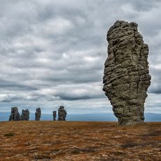
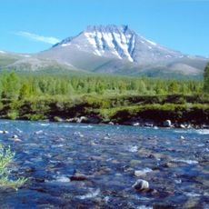
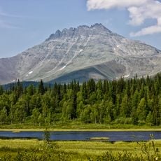
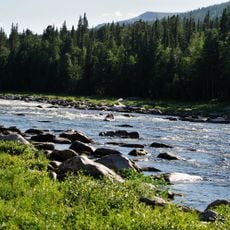
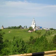
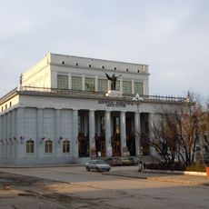
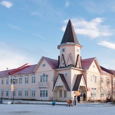
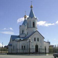
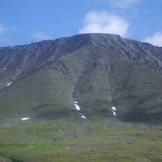
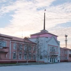
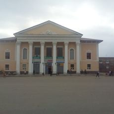
Pechora, rural settlement in Pechora Municipal District, Komi Republic, Russia

GPS coordinates: 65.11342,58.72651

Latest update: March 10, 2025 16:17

Around this place
Show the full map
Manpupuner rock formations
Russian Federation

Manpupuner rock formations

319.1 km
Mount Narodnaya
Russian Federation

Mount Narodnaya

65.7 km
North Urals
Russian Federation

North Urals

348.4 km
Polar Ural
Russian Federation

Polar Ural

329.5 km
Virgin Komi Forests
Russian Federation

Virgin Komi Forests

66.9 km
Subpolar Ural
Russian Federation

Subpolar Ural

54.1 km
Otorten
Russian Federation

Otorten

363.3 km
Pechora-Ilych Nature Reserve
Russian Federation

Pechora-Ilych Nature Reserve

415.9 km
Yugyd Va National Park
Russian Federation

Yugyd Va National Park

134.8 km
Manaraga
Russian Federation

Manaraga

49 km
Vishera Nature Reserve
Russian Federation

Vishera Nature Reserve

404.8 km
Prirazlomnaya
Russian Federation

Prirazlomnaya

464.5 km
Little Sosva Nature Reserve
Russian Federation

Little Sosva Nature Reserve

429.2 km
Nenets Nature Reserve
Russian Federation

Nenets Nature Reserve

446.8 km
Northern Catherine Canal
Russian Federation

Northern Catherine Canal

487.7 km
Богоявленский собор
Russian Federation

Богоявленский собор

379.2 km
Schugor
Russian Federation

Schugor

129 km
Памятник Яку-7Б (Нарьян-Мар)
Russian Federation

Памятник Яку-7Б (Нарьян-Мар)

379.2 km
Trinity-Stefanovsky monastery
Russian Federation

Trinity-Stefanovsky monastery

447 km
Inta water tower
Russian Federation

Inta water tower

121.9 km
Dvorets Kultury Shakterov
Russian Federation

Dvorets Kultury Shakterov

356 km
Ненецький краєзнавчий музей
Russian Federation

Ненецький краєзнавчий музей

379.4 km
Здание почты (Нарьян-Мар)
Russian Federation

Здание почты (Нарьян-Мар)

379.4 km
Peter and Paul Church
Russian Federation

Peter and Paul Church

391.2 km
Харнаурды-Кеу
Russian Federation

Харнаурды-Кеу

424 km
Здание администрации Ненецкого автономного округа
Russian Federation

Здание администрации Ненецкого автономного округа

379.4 km
Обелиск Победы в Нарьян-Маре
Russian Federation

Обелиск Победы в Нарьян-Маре

379.4 km
Дом культуры речников (Печора)
Russian Federation

Дом культуры речников (Печора)

73.4 km
Show the full map

Reviews

Visited this place? Tap the stars to rate it and share your experience / photos with the community! Try now! You can cancel it anytime.

« Pechora - rural settlement in Pechora Municipal District, Komi Republic, Russia » is provided by Around Us (aroundus.com). Images and texts are derived from Wikimedia project under a Creative Commons license. You are allowed to copy, distribute, and modify copies of this page, under the conditions set by the license, as long as this note is clearly visible.

Discover hidden gems everywhere you go!

From secret cafés to breathtaking viewpoints, skip the crowded tourist spots and find places that match your style. Our app makes it easy with voice search, smart filtering, route optimization, and insider tips from travelers worldwide. Download now for the complete mobile experience.

Around Us App Screenshot

A unique approach to discovering new places

Le Figaro

All the places worth exploring

France Info

A tailor-made excursion in just a few clicks

20 Minutes