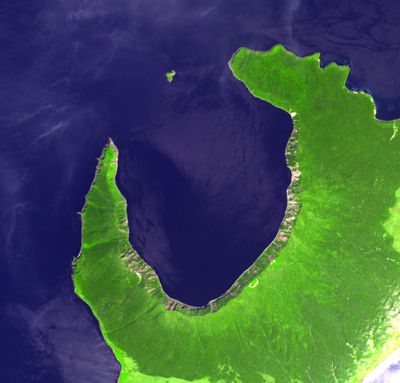
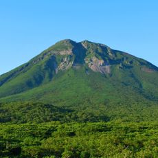
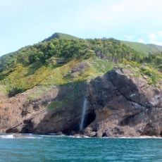
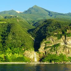
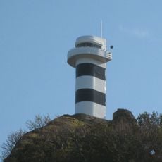
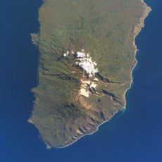
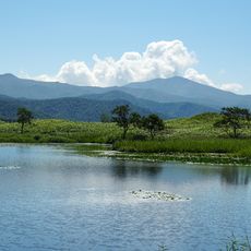
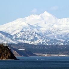
Lvinaya Past, volcano in the southern part of Iturup in the Kuril Islands, claimed by Japan and administered by Russia
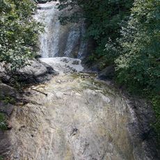
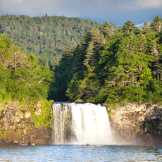
Lvinaya Past is a bay on Iturup Island in the Kuril Islands, surrounded by water and overlooked by a nearby volcano. The landscape features steep coastal cliffs, dark volcanic rocks, and rugged shorelines where waves constantly shape the rocky terrain.
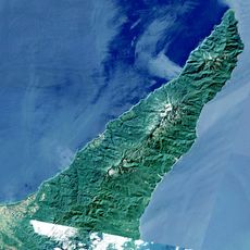
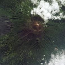
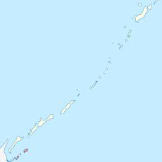
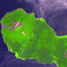
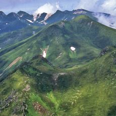
The Kuril Islands formed thousands of years ago from underwater volcanic eruptions in the Pacific Ocean that pushed the islands above sea level. Over centuries, this region became important for Russian and Japanese explorers and sailors navigating these waters.
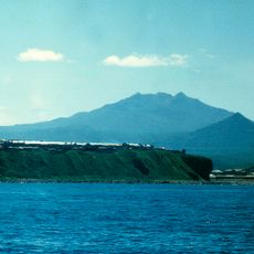
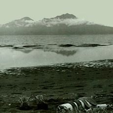
The name Lvinaya Past means 'Lion's Cape' in Russian, given because the coastline resembles a lion's head when viewed from certain angles. Fishermen and sailors from Russia and Japan have long used this harbor as a working place, leaving traces of their maritime traditions in the region.
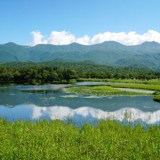
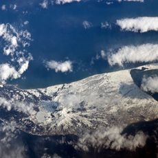
The bay is best explored by boat due to its rugged coastline and steep cliffs that make land access difficult. Weather changes quickly in this region, so visitors should prepare for wind, fog, and shifting conditions when planning a visit.
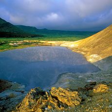
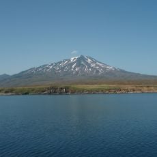
The nearby volcano occasionally shows signs of activity such as smoke or steam rising from its peak, though it remains largely dormant. These subtle reminders of volcanic forces often surprise visitors and reveal the hidden geological processes beneath the island.
The community of curious travelers
AroundUs brings together thousands of curated places, local tips, and hidden gems, enriched daily by 60,000 contributors worldwide.