
Хантайское Озеро, human settlement in Taymyrsky Dolgano-Nenetsky District, Krasnoyarsk Krai, Russia
Location: Городское поселение город Дудинка
Inception: 1952
GPS coordinates: 68.21944,89.98389
Latest update: April 16, 2025 03:08

Putorana Plateau
144.8 km
Sabetta
763.7 km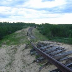
Salekhard–Igarka Railway
276.6 km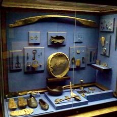
Mangazeya
371 km
Taymyr Nature Reserve
677.7 km
Great Arctic State Nature Reserve
815.3 km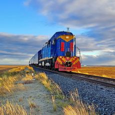
Obskaya–Bovanenkovo Line
867.3 km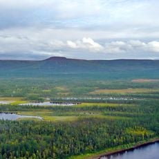
Putorana Nature Reserve
209.6 km
Ob–Yenisei Canal
1006.4 km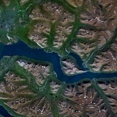
Lake Lama
142.3 km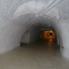
Новопортовский мерзлотник
713.9 km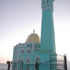
Nord Kamal Mosque
144 km
Tunguska Nature Reserve
1008.8 km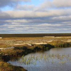
Zapovednik Gydansky
676 km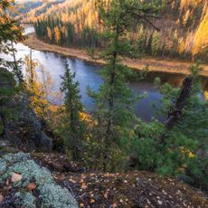
Central Siberia Nature Reserve
713.8 km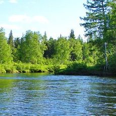
Upper Taz Nature Reserve
589.6 km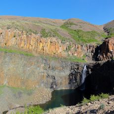
Krasnye Kamny
152 km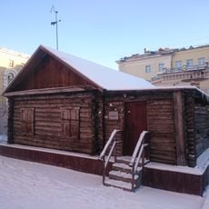
First house Norilsk
144.3 km
Музей Сталина (Курейка)
229.4 km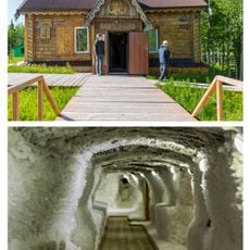
Permafrost Museum
164.6 km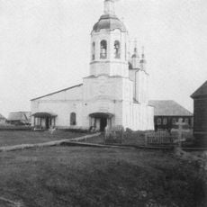
Turukhansk Holy Trinity Monastery
284.1 km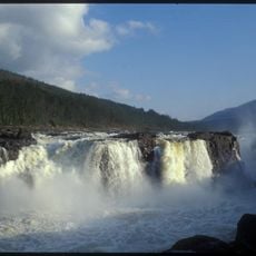
Great Kureika waterfall
177.4 km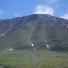
Харнаурды-Кеу
1001.3 km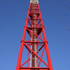
Zotino Tall Tower Observation Facility
826.6 km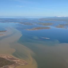
Khantayka Reservoir
92.8 km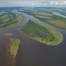
Brekhovskie Islands
382.8 km
Popow-Station
918.3 km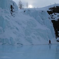
Putoransky Nature Reserve
192.7 kmReviews
Visited this place? Tap the stars to rate it and share your experience / photos with the community! Try now! You can cancel it anytime.
Discover hidden gems everywhere you go!
From secret cafés to breathtaking viewpoints, skip the crowded tourist spots and find places that match your style. Our app makes it easy with voice search, smart filtering, route optimization, and insider tips from travelers worldwide. Download now for the complete mobile experience.

A unique approach to discovering new places❞
— Le Figaro
All the places worth exploring❞
— France Info
A tailor-made excursion in just a few clicks❞
— 20 Minutes