Gorno-Badakhshan Autonomous Region
Gorno-Badakhshan Autonomous Region, Autonomous region in eastern Tajikistan.
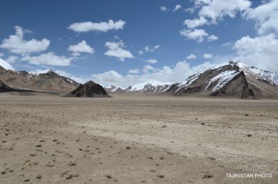
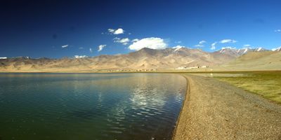
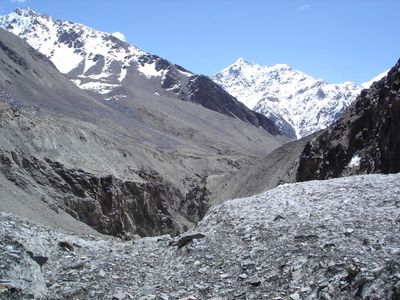
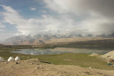
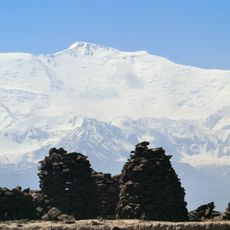
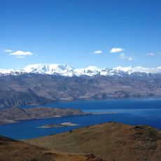
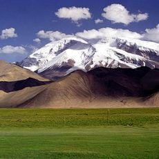
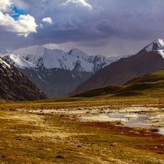
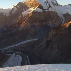
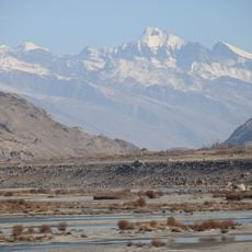
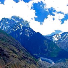
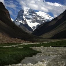
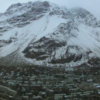
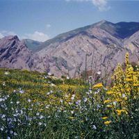
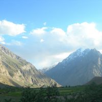
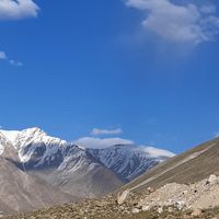
Gorno-Badakhshan is an autonomous administrative region in eastern Tajikistan, covering roughly half the country's total area and sitting almost entirely in the Pamir mountain range. The landscape features narrow valleys, vast glaciers, and mountain summits exceeding 7,000 meters (23,000 feet), while settlements stand at elevations above 4,000 meters (13,000 feet).
Soviet authorities transformed the area into an autonomous region in 1929, investing in schools and roads over the following decades. After the Soviet collapse, the region experienced a civil war in 1993 that still shapes its political structures today.
People here in the Pamir speak various East Iranian languages such as Shughni, Wakhi, or Ishkashimi, which differ greatly from Tajik. Travelers notice Ismaili prayer houses along the roads, reflecting a distinct branch of Shia Islam with strong ties to the Aga Khan.
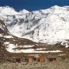
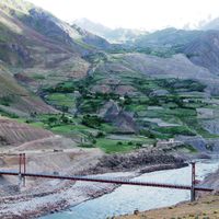
Visiting this area requires a special border permit for several districts and involves long journeys across unpaved mountain passes. Most villages offer only basic guesthouses, and mobile phone coverage disappears for days at a time.
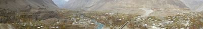
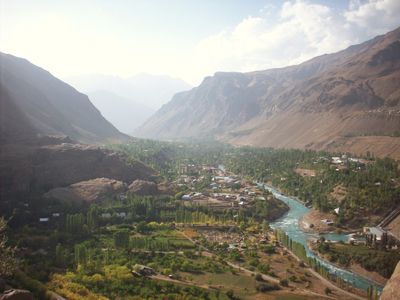
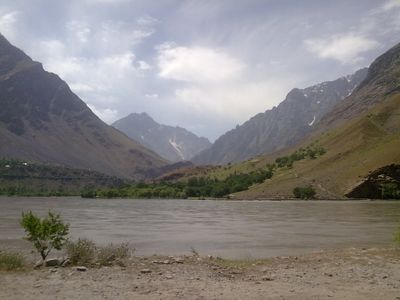
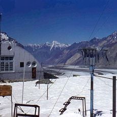
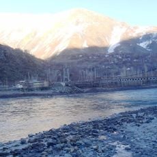
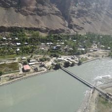
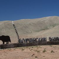
The regional capital Khorog sits directly on the Panj river border, and visitors can look straight into Afghanistan from the riverside road. In some villages, residents switch between two homes depending on the season, one in the winter valley and one on higher summer pastures.
Location: Tajikistan
Inception: January 2, 1925
Capital city: Khorugh
Elevation above the sea: 7,496 m
Shares border with: Osh Region, Khatlon Province, Districts under Central Government Jurisdiction, Badakhshan Province, Xinjiang
Address: Gorno-Badakhshan Autonomous Province, Tajikistan
GPS coordinates: 38.00000,73.00000
Latest update: December 5, 2025 16:36
Tajikistan features alpine lakes with clear waters, mountain ranges exceeding 5000 meters, and medieval fortresses. The country has deep valleys, high-altitude hot springs, and ancient archaeological sites. In the capital Dushanbe, there are museums, theaters, and parks. The Pamir Highway passes through the mountains to Kyrgyzstan, connecting towns located at over 3600 meters above sea level.
Ismoil Somoni Peak
135.6 km
Terich Mir
219.1 km
Lenin Peak
150.3 km
Noshaq
202.9 km
Kongur Tagh
212.8 km
Muztagh Ata
187.8 km
Fedchenko Glacier
105.9 km
Batura Sar
213.8 km
Khunjerab National Park
218 km
Broghil Valley National Park
206.9 km
Kongur Tiube
203.7 km
Peak Korzhenevskaya
145.6 km
Karl Marx Peak
104 km
Istor-o-Nal
205.4 km
Pik Garmo
121.3 km
Saraghrar
179.7 km
Koyo Zom
142.9 km
Buni Zom
213.9 km
Tajik National Park
85.7 km
Khalti Lake
197.5 km
Udren Zom
186 km
Engels Peak
101.5 km
Lenin glacier
158.3 km
Mastuj Fort
195.5 km
Sakar Sar
164.8 km
Rangkul valley (Rangkul & Shorkul Lakes)
139.5 km
Ghamubar Zom
159.5 km
Abshir Ata Waterfall
247 kmReviews
Visited this place? Tap the stars to rate it and share your experience / photos with the community! Try now! You can cancel it anytime.
Discover hidden gems everywhere you go!
From secret cafés to breathtaking viewpoints, skip the crowded tourist spots and find places that match your style. Our app makes it easy with voice search, smart filtering, route optimization, and insider tips from travelers worldwide. Download now for the complete mobile experience.
A unique approach to discovering new places❞
— Le Figaro
All the places worth exploring❞
— France Info
A tailor-made excursion in just a few clicks❞
— 20 Minutes