İstiklal Avenue

Log in to your account

AroundUs is a community-driven map of interesting places, built by curious explorers like you. It grows with every review, story, and photo you share.
Connect to save your favorite spots, contribute locations, and create personalized routes.
By continuing, you accept our Terms and Conditions and our Privacy Policy

İstiklal Avenue

Add to collection
Map
Suggest a change
Share

İstiklal Avenue, Pedestrian avenue in Beyoğlu, Turkey

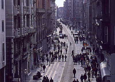
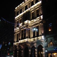
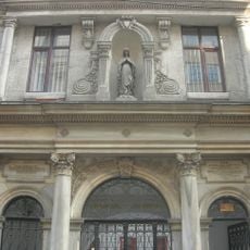
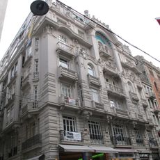
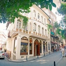
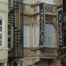
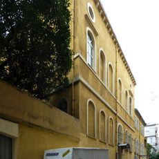
İstiklal Avenue is a 1600-meter pedestrian street in Beyoğlu that links the Tünel district to Taksim Square. Buildings along the route show late Ottoman architecture from the 19th century, with neoclassical facades, Gothic elements, and Art Nouveau details.

The street was called Cadde-i Kebir during Ottoman times, meaning grand avenue, and served as the main axis of the European quarter of Pera. After the War of Independence it received its current name in 1923 to commemorate the victory and the founding of the republic.

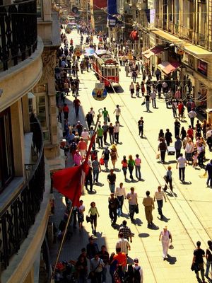
The name means Independence Avenue and honors the founding moment of modern Turkey, reflected in the many flags and patriotic symbols along the pedestrian zone. Side streets and passages such as the Flower Passage hold traditional taverns where locals gather over drinks and small plates.

The entire route is car-free and easy to walk, with the red vintage tram running slowly down the center. Galleries, bookstores, and cafes line both sides, so you can stop or take a break anytime.

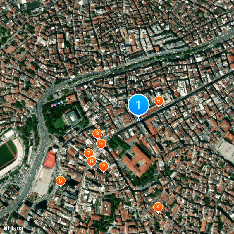
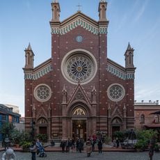
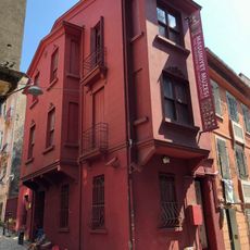
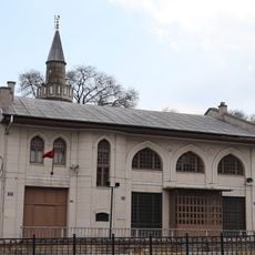
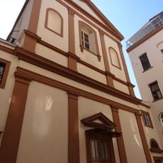
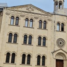
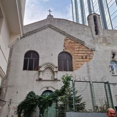
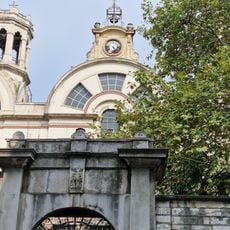
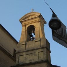
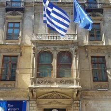
Several houses of worship from different faiths stand along the route, including the Catholic church of Sant'Antonio di Padova and the Greek Orthodox Hagia Triada. This diversity recalls the time when the neighborhood was home to numerous European communities.

Location: Beyoğlu

Length: 1,600 m

GPS coordinates: 41.03417,28.97889

Latest update: December 5, 2025 16:37

Instagrammable photo locations in Istanbul

Istanbul offers photographers an uncommon range of subjects, combining architecture from multiple centuries with urban landscapes and waterways. This route includes Byzantine and Ottoman monuments such as Hagia Sophia and Topkapi Palace, along with the Galata Tower that has stood over the old city since the 14th century. The Bosphorus separates Europe and Asia and provides the setting for historic sites including Rumeli Fortress, Maiden's Tower, and waterfront palaces like Dolmabahce Palace and Kucuksu Palace. The route passes through districts with different character. Balat displays Ottoman wooden houses and narrow lanes, while Karakoy is known for its renovated industrial buildings. The Princes' Islands off the coast offer car-free streets and neoclassical mansions. Viewpoints like Camlica Hill and Pierre Loti Hill provide panoramic views of the city and the Sea of Marmara. Additional destinations include Suleymaniye Mosque, Emirgan Park with its tulip beds, and modern structures like Zorlu Center.

Reviews

Visited this place? Tap the stars to rate it and share your experience / photos with the community! Try now! You can cancel it anytime.

« İstiklal Avenue - Pedestrian avenue in Beyoğlu, Turkey » is provided by Around Us (aroundus.com). Images and texts are derived from Wikimedia project under a Creative Commons license. You are allowed to copy, distribute, and modify copies of this page, under the conditions set by the license, as long as this note is clearly visible.

Discover hidden gems everywhere you go!

From secret cafés to breathtaking viewpoints, skip the crowded tourist spots and find places that match your style. Our app makes it easy with voice search, smart filtering, route optimization, and insider tips from travelers worldwide. Download now for the complete mobile experience.

Around Us App Screenshot

A unique approach to discovering new places

Le Figaro

All the places worth exploring

France Info

A tailor-made excursion in just a few clicks

20 Minutes