Enable Location

We need your location to show you interesting places around you

Discover nearby places

Find interesting locations and hidden gems around you

Precise directions

Get accurate directions and distances to places

Your location is never shared with other users. It's only used when you tap the location button.

Nanhua District

Log in to your account

Start exploring — it's free

Trusted by 61,987 travelers worldwide

Continue with Google
Continue with Apple
or

We will send you a code to connect

By continuing, you accept our Terms and Conditions and our Privacy Policy

Check your inbox

We've sent a pincode in your inbox. Please enter the code below.

Nanhua District

Nanhua District, Rural district in Tainan, Taiwan

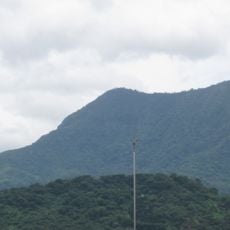
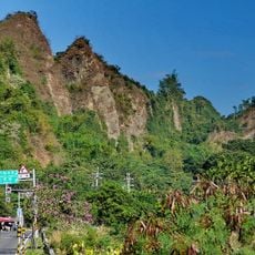
Nanhua District is a rural administrative area in Tainan situated on hilly terrain with multiple villages scattered across its landscape. The region features a mosaic of settlements connected by mountain roads and surrounded by natural areas.

The area became an administrative district in 2010 when Tainan County merged with Tainan City under a single government structure. This reorganization reshaped how local governance operated for residents.

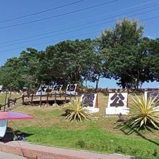
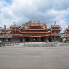
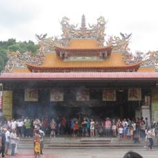
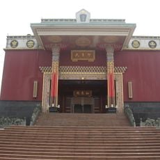
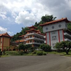
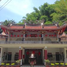
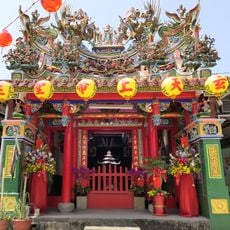
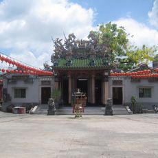
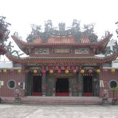
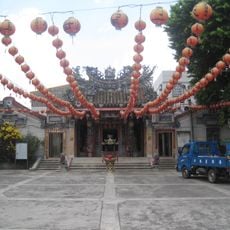
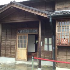
Local temples serve as gathering places where residents come together for worship and celebration throughout the year. These sacred spaces reflect the spiritual values that shape daily life in this mountainous region.

The district is best explored by personal vehicle since villages are spread across mountain roads and not closely connected. Visitors should allow extra time for travel between locations due to the hilly terrain.

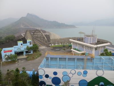
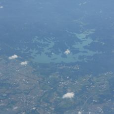
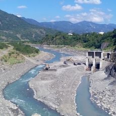
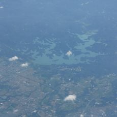
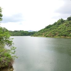
Two reservoirs sit within this district and play a crucial role in managing water resources for surrounding communities. The larger Nanhua Reservoir is a significant landscape feature that visitors can see when traveling through the area.

The community of curious travelers

AroundUs brings together thousands of curated places, local tips, and hidden gems, enriched daily by 60,000 contributors worldwide.

Start exploring
Location
Elevation above the sea
332 m
Shares border with
Zuojhen District, Nansi District, Yujing District, Dapu Township, Neimen District, Jiasian District, Shanlin District, Namasia District
GPS coordinates
23.04350,120.47700
Latest update
December 7, 2025 20:48
« Nanhua District - Rural district in Tainan, Taiwan » is provided by Around Us (aroundus.com). Images and texts are derived from Wikimedia project under a Creative Commons license. You are allowed to copy, distribute, and modify copies of this page, under the conditions set by the license, as long as this note is clearly visible.

Discover hidden gems everywhere you go!

From secret cafés to breathtaking viewpoints, skip the crowded tourist spots and find places that match your style. Our app makes it easy with voice search, smart filtering, route optimization, and insider tips from travelers worldwide. Download now for the complete mobile experience.

Around Us App Screenshot

A unique approach to discovering new places

Le Figaro

All the places worth exploring

France Info

A tailor-made excursion in just a few clicks

20 Minutes

Around Us
Travel Guide & Maps
Download

Send to your phone

QR Code
1

Open the camera app on your mobile.

2

Point at the QR code with your camera. A notification will appear.

3

Tap the notification to open the link.