Chest opened
+${chestReward.xp} XP
Explorer
NOUVEAU ×${chestReward.collectible.quantity}
tapez pour fermer
Chest locked

Open chests in the app

Around Us is built for your phone — chests unlock when you walk, explore and capture nearby places.

Enable Location

We need your location to show you interesting places around you

Discover nearby places

Find interesting locations and hidden gems around you

Precise directions

Get accurate directions and distances to places

Your location is never shared with other users. It's only used when you tap the location button.

Red Bay

Log in to your account

Start exploring — it's free

Trusted by 72,890 travelers worldwide

Continue with Google
Continue with Apple
or

We will send you a code to connect

By continuing, you accept our Terms and Conditions and our Privacy Policy

Check your inbox

We've sent a pincode in your inbox. Please enter the code below.

Discussion Reviews 1 Photos
11.7k Popularity

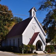
Red Bay, Administrative division in Franklin County, Alabama, United States.

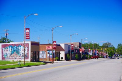
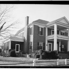
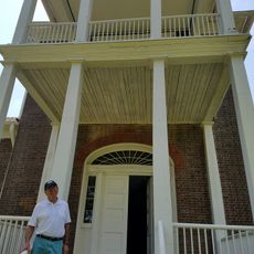
Red Bay is a town straddling the Mississippi-Alabama border, with Bear Creek running to the north and Gum Creek to the south. The municipal area includes residential neighborhoods and small commercial districts within Franklin County.

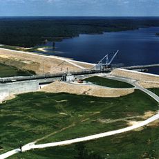
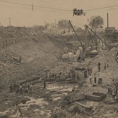
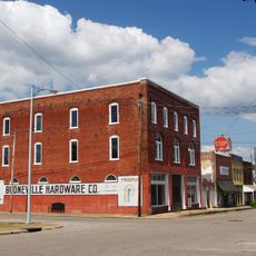
Originally called Vinson's Crossroads, the settlement became a major lumber and shipping hub after railroad construction in the early 1900s. The rail line made it a distribution point for timber and other regional resources.

The city operates multiple educational facilities, including Red Bay High School, which maintains strong athletic programs and community involvement throughout the academic year.

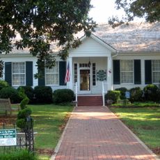
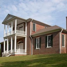
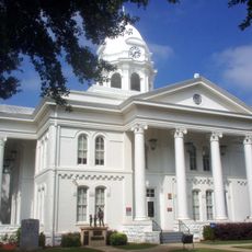
The town operates through a city council system managing public services and community development. Visitors can find schools, small shops, and residential areas that serve the everyday needs of residents.

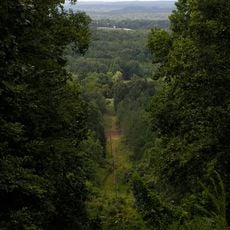
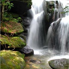
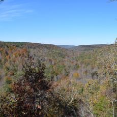
The name comes from red clay deposits found in the area and the natural growth of Persea borbonia trees that still appear scattered throughout the region. This combination shaped the place's identity from the beginning.

The community of curious travelers

AroundUs brings together thousands of curated places, local tips, and hidden gems, enriched daily by 60,000 contributors worldwide.

Start exploring
GPS coordinates
34.44095,-88.14322
Latest update
December 7, 2025 20:49
Around this place
Woodall Mountain
United States of America

Woodall Mountain

39.7 km
Ivy Green
United States of America

Ivy Green

52 km
Natchez Trace Trail
United States of America

Natchez Trace Trail

25.7 km
Dismals Canyon
United States of America

Dismals Canyon

35.6 km
Tishomingo State Park
United States of America

Tishomingo State Park

18.8 km
Pharr Mounds
United States of America

Pharr Mounds

25.3 km
Barton Hall
United States of America

Barton Hall

37 km
Bay Springs Lake
United States of America

Bay Springs Lake

21.5 km
Jamie Whitten Lock and Dam
United States of America

Jamie Whitten Lock and Dam

18.9 km
Belle Mont
United States of America

Belle Mont

50.1 km
Cane Creek Canyon Nature Preserve
United States of America

Cane Creek Canyon Nature Preserve

37.8 km
Riverton Lock
United States of America

Riverton Lock

51.3 km
Overton Farm
United States of America

Overton Farm

18.1 km
Fulton Lock
United States of America

Fulton Lock

32.9 km
G. V. Montgomery Lock
United States of America

G. V. Montgomery Lock

20.5 km
John Daniel Rather House
United States of America

John Daniel Rather House

51.9 km
Church of Our Saviour
United States of America

Church of Our Saviour

41.5 km
Colbert County Courthouse Square Historic District
United States of America

Colbert County Courthouse Square Historic District

51.8 km
Felix Grundy Norman House
United States of America

Felix Grundy Norman House

51.9 km
Downtown Booneville Historic District
United States of America

Downtown Booneville Historic District

45.3 km
John and Archibald Christian House
United States of America

John and Archibald Christian House

50.7 km
Mulberry Creek
United States of America

Mulberry Creek

43.7 km
Alabama Music Hall of Fame
United States of America

Alabama Music Hall of Fame

50.3 km
Red Bay Water Park
United States of America

Red Bay Water Park

822 m
Belle Mont Mansion
United States of America

Belle Mont Mansion

50.1 km
Tammy Wynette Legacy Center
United States of America

Tammy Wynette Legacy Center

25.4 km
Colbert County Courthouse
United States of America

Colbert County Courthouse

51.8 km
Tishomingo State Park Historic District
United States of America

Tishomingo State Park Historic District

18.4 km
Show the full map
Reviews
Share your experience

No review yet

Discussions
Start a discussion...

No discussion yet

« Red Bay - Administrative division in Franklin County, Alabama, United States » is provided by Around Us (aroundus.com). Images and texts are derived from Wikimedia project under a Creative Commons license. You are allowed to copy, distribute, and modify copies of this page, under the conditions set by the license, as long as this note is clearly visible.

Discover hidden gems everywhere you go!

From secret cafés to breathtaking viewpoints, skip the crowded tourist spots and find places that match your style. Our app makes it easy with voice search, smart filtering, route optimization, and insider tips from travelers worldwide. Download now for the complete mobile experience.

Around Us App Screenshot

A unique approach to discovering new places

Le Figaro

All the places worth exploring

France Info

A tailor-made excursion in just a few clicks

20 Minutes

Around Us
Travel Guide & Maps
Download

Send to your phone

QR Code
1

Open the camera app on your mobile.

2

Point at the QR code with your camera. A notification will appear.

3

Tap the notification to open the link.