Monongahela

Log in to your account

AroundUs is a community-driven map of interesting places, built by curious explorers like you. It grows with every review, story, and photo you share.
Connect to save your favorite spots, contribute locations, and create personalized routes.
By continuing, you accept our Terms and Conditions and our Privacy Policy
Add to collection
Map
Suggest a change
Share

Monongahela, Administrative division in western Pennsylvania, United States.

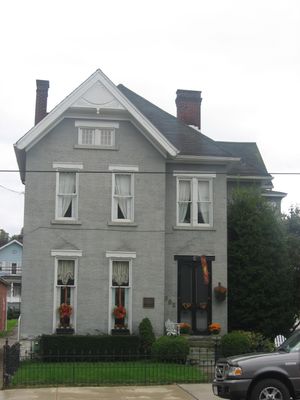
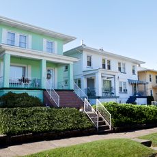
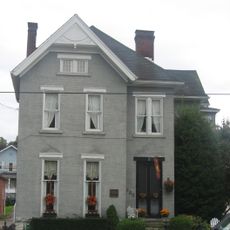
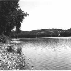
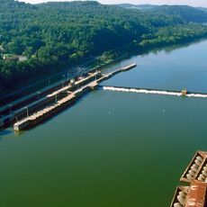
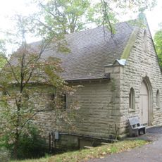
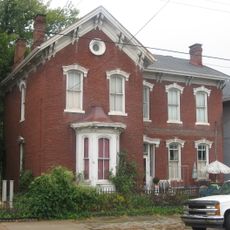
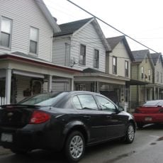
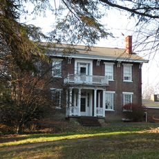
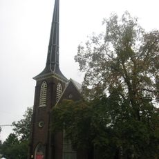
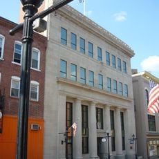
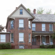
Monongahela is a small city situated along the western bank of the Monongahela River in Washington County, a short distance southeast of Pittsburgh. The town features a compact downtown area with shops and offices along Main Street, residential neighborhoods spreading inland, and access to the river for recreation and views.

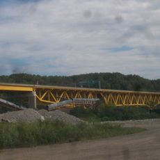
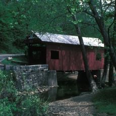
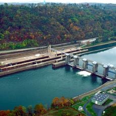
The city emerged as an industrial center in the 19th century, driven by coal mining and steel production along the river. During the Civil War, military administration helped protect the region, and afterward the town developed into a local commercial hub.

The name comes from the Lenape language and means "river with falling banks." Residents share a deep connection to the river, which has shaped work and daily life in the community for generations.

Visiting is easiest during warmer months when the river is accessible for boating and fishing. The city is convenient to reach by car from Pittsburgh, and parking is readily available downtown and at public areas.

As a Third Class City under Pennsylvania law, Monongahela operates with an unusual governing system where the mayor has no power to veto city council decisions. This arrangement gives the council members unusual independence in how they shape local policy.

Location: Washington County

Inception: 1770

Elevation above the sea: 230 m

Website: http://cityofmonongahela-pa.gov

GPS coordinates: 40.20056,-79.92833

Latest update: December 13, 2025 16:46

Photos
Around this place
Donora Smog Museum
United States of America

Donora Smog Museum

6.6 km
Cement City Historic District
United States of America

Cement City Historic District

6.3 km
Mingo Creek Viaduct
United States of America

Mingo Creek Viaduct

4.9 km
Eldora Park
United States of America

Eldora Park

4.1 km
Donora-Monessen Bridge
United States of America

Donora-Monessen Bridge

7.1 km
Edward G. Acheson House
United States of America

Edward G. Acheson House

665 m
Donora-Webster Bridge
United States of America

Donora-Webster Bridge

6.7 km
Henry Covered Bridge
United States of America

Henry Covered Bridge

7.5 km
Van Kirk Farm
United States of America

Van Kirk Farm

7.2 km
Elizabeth Locks & Dam
United States of America

Elizabeth Locks & Dam

7.6 km
Monongahela Cemetery
United States of America

Monongahela Cemetery

881 m
Charleroi-Monessen Bridge
United States of America

Charleroi-Monessen Bridge

5.8 km
Charleroi Locks & Dam
United States of America

Charleroi Locks & Dam

6.5 km
David Longwell House
United States of America

David Longwell House

633 m
Charleroi Historic District
United States of America

Charleroi Historic District

7 km
Hutchinson Farm (Elizabeth, Pennsylvania)
United States of America

Hutchinson Farm (Elizabeth, Pennsylvania)

6.9 km
Bethel African American Episcopal Church of Monongahela City
United States of America

Bethel African American Episcopal Church of Monongahela City

803 m
Dusmal House
United States of America

Dusmal House

6.6 km
First National Bank of Charleroi
United States of America

First National Bank of Charleroi

7.4 km
Family Funscape
United States of America

Family Funscape

6.7 km
Monongahela City Bridge
United States of America

Monongahela City Bridge

1 km
John H. Nelson House
United States of America

John H. Nelson House

7.8 km
Whetzel Preserve
United States of America

Whetzel Preserve

1.8 km
Redds Beach
United States of America

Redds Beach

8.3 km
Lobb's Cemetery and Yohogania County Courthouse Site
United States of America

Lobb's Cemetery and Yohogania County Courthouse Site

7 km
Monongahela Valley Country Club
United States of America

Monongahela Valley Country Club

2.1 km
Victory Hills Golf Course
United States of America

Victory Hills Golf Course

7.9 km
Old mine cart
United States of America

Old mine cart

5.4 km
Show the full map
Reviews

Visited this place? Tap the stars to rate it and share your experience / photos with the community! Try now! You can cancel it anytime.

« Monongahela - Administrative division in western Pennsylvania, United States » is provided by Around Us (aroundus.com). Images and texts are derived from Wikimedia project under a Creative Commons license. You are allowed to copy, distribute, and modify copies of this page, under the conditions set by the license, as long as this note is clearly visible.

Discover hidden gems everywhere you go!

From secret cafés to breathtaking viewpoints, skip the crowded tourist spots and find places that match your style. Our app makes it easy with voice search, smart filtering, route optimization, and insider tips from travelers worldwide. Download now for the complete mobile experience.

Around Us App Screenshot

A unique approach to discovering new places

Le Figaro

All the places worth exploring

France Info

A tailor-made excursion in just a few clicks

20 Minutes