Suffolk, Independent city in Hampton Roads, Virginia, United States
Suffolk is an independent city in the Hampton Roads region of southeastern Virginia that includes both urban and rural areas. The city extends along the Nansemond and James rivers and connects residential neighborhoods with wide fields and forest areas.
The settlement began in 1742 as a riverside warehouse and was later renamed after an English county. The city separated from Nansemond County in 1910 and grew through farming and trade.
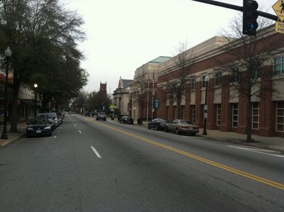
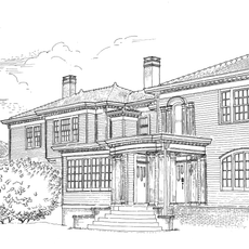
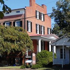
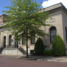
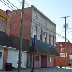
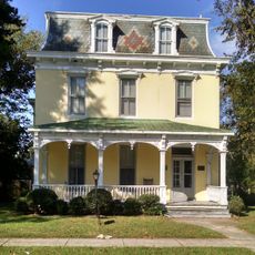
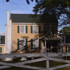
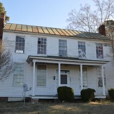
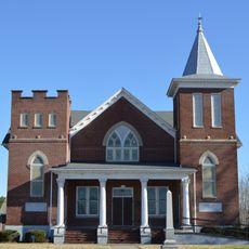
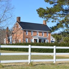
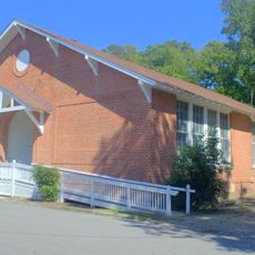
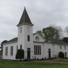
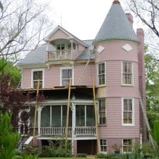
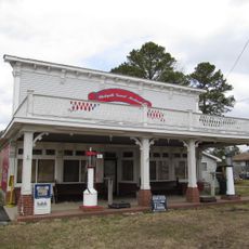
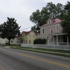
The name comes from a county in eastern England and the downtown shows buildings from different centuries along wide streets. Visitors notice old brick warehouses and houses that recall the trade in cotton and peanuts.
Main roads lead to Norfolk and Chesapeake and connect the city to other communities in Hampton Roads. Visitors can move between different neighborhoods, from downtown to farm areas.
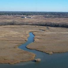
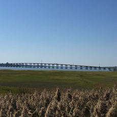
Part of the Great Dismal Swamp lies within city limits and offers rare plants and animals. The swamp area was once used as a refuge and later as a timber source.
Location: Virginia
Inception: 1742
Elevation above the sea: 11 m
Part of: Hampton Roads
Shares border with: Newport News, Portsmouth, Chesapeake, Isle of Wight County, Southampton County, Gates County, Camden County
Address: Suffolk, VA, USA
Website: http://suffolkva.us
GPS coordinates: 36.74110,-76.60970
Latest update: December 13, 2025 15:54
Great Dismal Swamp
18 km
Monitor-Merrimac Memorial Bridge-Tunnel
28.9 km
Great Dismal Swamp National Wildlife Refuge
22.6 km
Club Lake Ahoy
19.9 km
Nansemond National Wildlife Refuge
10 km
Kings Highway Bridge
12.2 km
Blackwater Ecological Preserve
23.1 km
Antioch Pines Natural Area Preserve
23.5 km
Bay Point Farm
14.2 km
Nansemond River Bridge
19.3 km
Cedar Hill Cemetery
2.7 km
Riddick House
2.5 km
Suffolk Historic District
2.8 km
Holland Historic District (Suffolk, Virginia)
16.2 km
Building at 216 Bank Street
2.9 km
Oak Crest
25.8 km
Somerton Historic District
23 km
Mount Sinai Baptist Church
22.7 km
Phillips Farm
15.4 km
Henry Saunders House
11.2 km
William Scott Farmstead
11.9 km
Crittenden Bridge
21.4 km
Sunray Agricultural Historic District
18.3 km
Chuckatuck Historic District
13.6 km
Godwin-Knight House
13.7 km
Whaleyville Historic District
18.1 km
West End Historic District
2 km
East Suffolk Complex
4.4 kmVisited this place? Tap the stars to rate it and share your experience / photos with the community! Try now! You can cancel it anytime.
Discover hidden gems everywhere you go!
From secret cafés to breathtaking viewpoints, skip the crowded tourist spots and find places that match your style. Our app makes it easy with voice search, smart filtering, route optimization, and insider tips from travelers worldwide. Download now for the complete mobile experience.
A unique approach to discovering new places❞
— Le Figaro
All the places worth exploring❞
— France Info
A tailor-made excursion in just a few clicks❞
— 20 Minutes