Alger County

Log in to your account

AroundUs is a community-driven map of interesting places, built by curious explorers like you. It grows with every review, story, and photo you share.
Connect to save your favorite spots, contribute locations, and create personalized routes.
Continue with Google
Continue with Apple
Continue with X
Continue with Facebook
Continue with email
By continuing, you accept our Terms and Conditions and our Privacy Policy
Create an account
Add to collection
Map
Suggest a change
Share

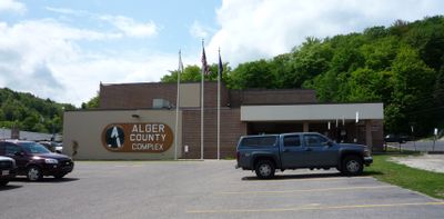
Alger County, Administrative county in Upper Peninsula, Michigan, US

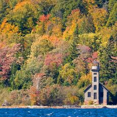
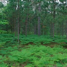
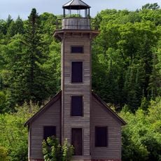
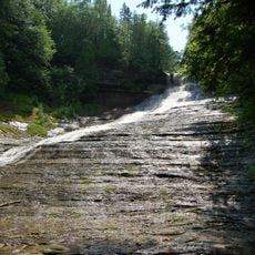
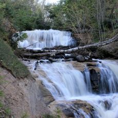
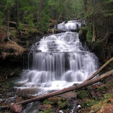
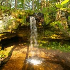
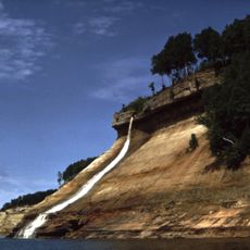
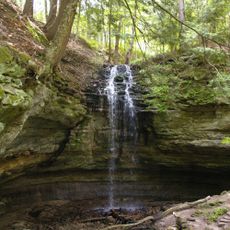
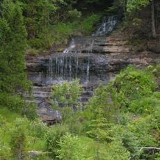
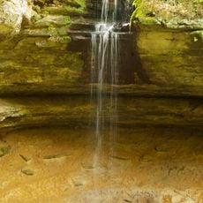
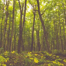
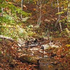
Alger County spans along Lake Superior in Michigan's Upper Peninsula, featuring rocky shorelines and dense forests across its vast territory. The landscape includes part of a designated national lakeshore known for its natural rock formations.

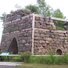
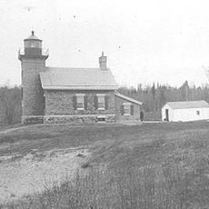
The region was originally inhabited by Native Americans for centuries before becoming an administrative county in the 1880s. It was named after a significant political figure of that era.

Native American heritage remains deeply rooted here through community gatherings and events held throughout the year. Visitors can observe local traditions and handcrafted items that reflect the connection between people and the land.

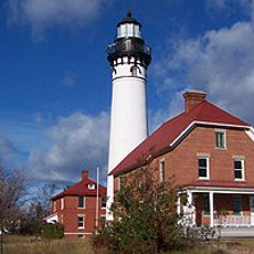
The area is best explored by car, as distances between communities are substantial and public transportation is limited. Basic services and supplies are available in larger towns like Munising.

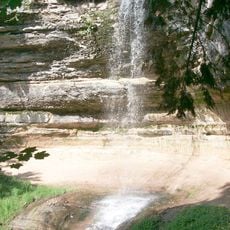
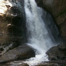
The shoreline contains dramatic sandstone and rock formations that shift in appearance with changing weather and seasons. Few visitors realize that water actually covers more area than the land, making this one of the region's defining features.

Location: Michigan

Inception: March 17, 1885

Capital city: Munising

Shares border with: Delta County, Luce County, Schoolcraft County, Marquette County, Thunder Bay District

Website: http://algercounty.com

GPS coordinates: 47.16000,-86.48000

Latest update: December 7, 2025 19:23

Photos
Around this place
Grand Island National Recreation Area
United States of America

Grand Island National Recreation Area

74 km
Seney National Wildlife Refuge
United States of America

Seney National Wildlife Refuge

105.4 km
Grand Island East Channel Light
United States of America

Grand Island East Channel Light

79.1 km
Au Sable Light
United States of America

Au Sable Light

60.1 km
Munising Falls
United States of America

Munising Falls

82.8 km
Pickle Barrel House
United States of America

Pickle Barrel House

66.2 km
Miners Falls
United States of America

Miners Falls

76.4 km
Laughing Whitefish Falls Scenic Site
United States of America

Laughing Whitefish Falls Scenic Site

96.7 km
Sable Falls
United States of America

Sable Falls

65.2 km
Wagner Falls Scenic Site
United States of America

Wagner Falls Scenic Site

86.9 km
Wagner Falls
United States of America

Wagner Falls

87.3 km
Scott Falls
United States of America

Scott Falls

84.8 km
Bridalveil Falls
United States of America

Bridalveil Falls

72.6 km
Tannery Falls
United States of America

Tannery Falls

83.6 km
Onota, Au Train Township, Michigan
United States of America

Onota, Au Train Township, Michigan

81.9 km
Munising Front Range Light
United States of America

Munising Front Range Light

84.1 km
Grand Island North Light
United States of America

Grand Island North Light

68.6 km
Grand Island Harbor Rear Range Light
United States of America

Grand Island Harbor Rear Range Light

82.1 km
Munising Rear Range Light
United States of America

Munising Rear Range Light

84.4 km
Alger Falls
United States of America

Alger Falls

86.3 km
Memorial Falls
United States of America

Memorial Falls

83.4 km
Beaver Basin Wilderness
United States of America

Beaver Basin Wilderness

67.6 km
King Road–Whitefish River Bridge
United States of America

King Road–Whitefish River Bridge

110.2 km
Old M-94–Au Train River Bridge
United States of America

Old M-94–Au Train River Bridge

85 km
Schoolcraft Furnace Site
United States of America

Schoolcraft Furnace Site

82.7 km
M-28–Sand River Bridge
United States of America

M-28–Sand River Bridge

88.1 km
Paulson House
United States of America

Paulson House

88.5 km
Lobb House
United States of America

Lobb House

84.5 km
Show the full map
Reviews

Visited this place? Tap the stars to rate it and share your experience / photos with the community! Try now! You can cancel it anytime.

« Alger County - Administrative county in Upper Peninsula, Michigan, US » is provided by Around Us (aroundus.com). Images and texts are derived from Wikimedia project under a Creative Commons license. You are allowed to copy, distribute, and modify copies of this page, under the conditions set by the license, as long as this note is clearly visible.

Discover hidden gems everywhere you go!

From secret cafés to breathtaking viewpoints, skip the crowded tourist spots and find places that match your style. Our app makes it easy with voice search, smart filtering, route optimization, and insider tips from travelers worldwide. Download now for the complete mobile experience.

Around Us App Screenshot

A unique approach to discovering new places

Le Figaro

All the places worth exploring

France Info

A tailor-made excursion in just a few clicks

20 Minutes