Pottawattamie County

Log in to your account

AroundUs is a community-driven map of interesting places, built by curious explorers like you. It grows with every review, story, and photo you share.
Connect to save your favorite spots, contribute locations, and create personalized routes.
Continue with Google
Continue with Apple
Continue with X
Continue with Facebook
Continue with email
By continuing, you accept our Terms and Conditions and our Privacy Policy
Create an account
Add to collection
Map
Suggest a change
Share

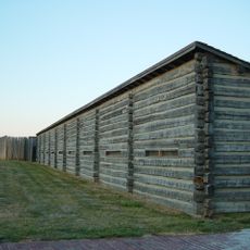
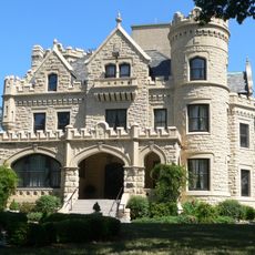
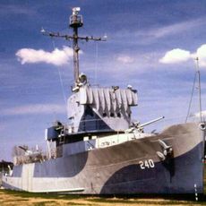
Pottawattamie County, Administrative county in western Iowa, United States.

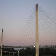
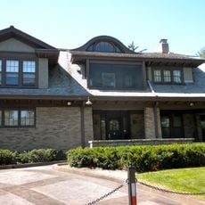
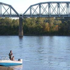
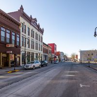
Pottawattamie County is a county in western Iowa with Council Bluffs as its county seat, situated along the eastern bank of the Missouri River. The region includes various towns and rural areas shaped by the river's proximity and the major highways that pass through.

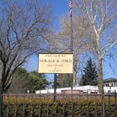
This county was established on September 21, 1848, and took its name from the Potawatomi Native American tribe who lived in the region during early European settlement. Those roots continue to shape the area's identity today.

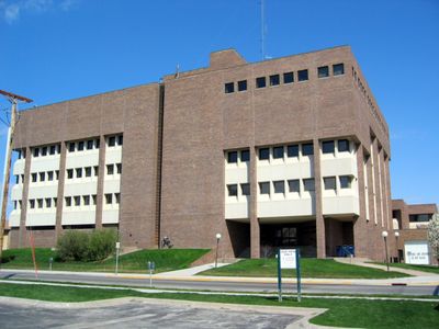
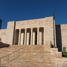
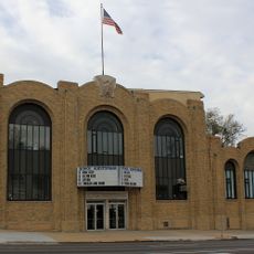
The Iowa School for the Deaf in Council Bluffs establishes this county as a regional center for education and support services for deaf students across the state. This institution shapes community life and is woven into the local character.

Interstate Highways 29 and 80 cross through the county, providing direct connections to nearby metropolitan areas like Omaha and Des Moines. This road network makes getting around and visiting nearby regions straightforward.

Carter Lake sits on the western side of the Missouri River and forms a geographic enclave of Iowa surrounded by Nebraska. This unusual boundary came about because the river changed its course long ago.

Location: Iowa

Inception: September 21, 1848

Capital city: Council Bluffs

Elevation above the sea: 359 m

Shares border with: Harrison County, Mills County, Shelby County, Cass County, Montgomery County, Sarpy County, Douglas County, Washington County

Website: http://pottcounty.com

GPS coordinates: 41.33333,-95.53333

Latest update: December 22, 2025 13:27

Photos
Around this place
CHI Health Center Omaha
United States of America

CHI Health Center Omaha

33.9 km
Omaha’s Henry Doorly Zoo and Aquarium
United States of America

Omaha’s Henry Doorly Zoo and Aquarium

35.2 km
Omaha Central High School
United States of America

Omaha Central High School

35.3 km
First National Bank Tower
United States of America

First National Bank Tower

34.8 km
Fort Atkinson State Historical Park
United States of America

Fort Atkinson State Historical Park

42.4 km
Fort Atkinson
United States of America

Fort Atkinson

42.1 km
Joslyn Castle
United States of America

Joslyn Castle

37.5 km
Bob Kerrey Pedestrian Bridge
United States of America

Bob Kerrey Pedestrian Bridge

33.4 km
Jobbers Canyon Historic District
United States of America

Jobbers Canyon Historic District

34.1 km
USS Hazard
United States of America

USS Hazard

31.4 km
Joslyn Art Museum
United States of America

Joslyn Art Museum

35.4 km
Lauritzen Gardens
United States of America

Lauritzen Gardens

33.8 km
Blackstone Hotel
United States of America

Blackstone Hotel

37.2 km
Dundee-Happy Hollow Historic District
United States of America

Dundee-Happy Hollow Historic District

39 km
Durham Museum
United States of America

Durham Museum

34.3 km
USS Marlin
United States of America

USS Marlin

31.4 km
Hummel Park
United States of America

Hummel Park

35.7 km
Fort Omaha
United States of America

Fort Omaha

35.6 km
Heartland of America Park
United States of America

Heartland of America Park

33.9 km
WoodmenLife Tower
United States of America

WoodmenLife Tower

35 km
Harrah's Council Bluffs
United States of America

Harrah's Council Bluffs

33.1 km
Union Pacific Missouri River Bridge
United States of America

Union Pacific Missouri River Bridge

33.4 km
Union Pacific Center
United States of America

Union Pacific Center

34.6 km
Malcolm X House
United States of America

Malcolm X House

36.3 km
St. Cecilia Cathedral
United States of America

St. Cecilia Cathedral

37.4 km
Sokol Auditorium
United States of America

Sokol Auditorium

35.1 km
Freedom Park
United States of America

Freedom Park

31.4 km
Gerald R. Ford Birthsite and Gardens
United States of America

Gerald R. Ford Birthsite and Gardens

37 km
Show the full map
Reviews

Visited this place? Tap the stars to rate it and share your experience / photos with the community! Try now! You can cancel it anytime.

Administrative divisions
« Pottawattamie County - Administrative county in western Iowa, United States » is provided by Around Us (aroundus.com). Images and texts are derived from Wikimedia project under a Creative Commons license. You are allowed to copy, distribute, and modify copies of this page, under the conditions set by the license, as long as this note is clearly visible.

Discover hidden gems everywhere you go!

From secret cafés to breathtaking viewpoints, skip the crowded tourist spots and find places that match your style. Our app makes it easy with voice search, smart filtering, route optimization, and insider tips from travelers worldwide. Download now for the complete mobile experience.

Around Us App Screenshot

A unique approach to discovering new places

Le Figaro

All the places worth exploring

France Info

A tailor-made excursion in just a few clicks

20 Minutes