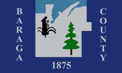
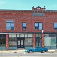
Baraga County, Administrative division in Upper Peninsula, Michigan, United States.
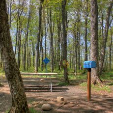
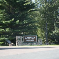
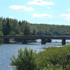
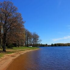
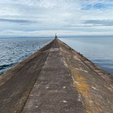
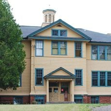
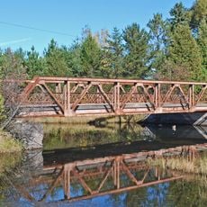
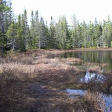
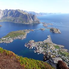
Baraga County is an administrative division in Michigan's Upper Peninsula featuring forested terrain and lakeshore along Lake Superior. The county contains small towns and communities dispersed across a landscape shaped by forests and water.
The county was established in 1875 and named after Bishop Frederic Baraga, a missionary who worked with Ojibwa communities. Its creation marked an important step in organizing Michigan's Upper Peninsula administratively.
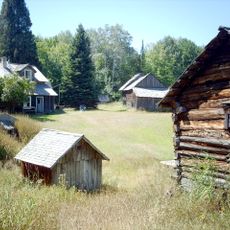
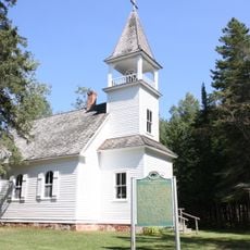
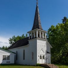
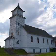
The area is home to descendants of Finnish, German, and French settlers whose traditions remain visible in local customs and celebrations. Native American communities maintain strong connections to the land and contribute significantly to the region's identity.
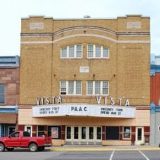
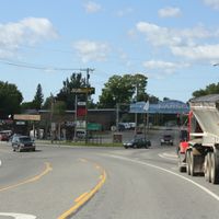
L'Anse serves as the county seat and is accessible via US Highways 41 and 141. Visitors should expect rural conditions and plan for distance between communities when traveling.
Mount Arvon rises 1,979 feet above sea level and is Michigan's highest natural point. This peak stands in the heart of the county and surprises many visitors who associate Michigan with flat terrain.
Location: Michigan
Inception: February 19, 1875
Capital city: L'Anse
Shares border with: Marquette County, Iron County, Houghton County
Website: http://baragacounty.org
GPS coordinates: 46.72000,-88.34000
Latest update: December 7, 2025 20:20
Mount Arvon
14.6 km
A. E. Seaman Mineral Museum
46.4 km
Baraga State Park
13.2 km
Trunk Line Bridge No. 1
33.4 km
Twin Lakes State Park
43.8 km
McCormick Wilderness
26.1 km
Huron Island Light
37.5 km
Sturgeon River Gorge Wilderness
30.3 km
Sam Cohodas Lodge
33.6 km
Hebard – Ford Summer House
16.1 km
Vista Theater
45.2 km
Keweenaw Waterway Lower Entrance Light
28.6 km
Herman and Anna Hanka Farm
24.5 km
Canyon Falls Bridge
14.5 km
Jacobsville Finnish Lutheran Church
30 km
Kaleva Temple
45.3 km
Zeba Indian United Methodist Church
10.6 km
Arvon Township Hall
19.7 km
Saint Henry's Evangelical Lutheran Church and Cemetery
34.2 km
Chassell School Complex
37.4 km
Old US 41–Backwater Creek Bridge
12.4 km
County Road C117–Pike River Bridge
36.1 km
Robert T. Brown Nature Sanctuary
45.6 km
Reine utsiktspunkt
47.6 km
Huron National Wildlife Refuge
38.2 km
Most Holy Name of Jesus--Saint Blessed Kateri Tekakwitha Catholic Church
14.4 km
Jacobsville Lighthouse
29.3 km
Advanced Technology Development Complex
46.5 kmVisited this place? Tap the stars to rate it and share your experience / photos with the community! Try now! You can cancel it anytime.
Discover hidden gems everywhere you go!
From secret cafés to breathtaking viewpoints, skip the crowded tourist spots and find places that match your style. Our app makes it easy with voice search, smart filtering, route optimization, and insider tips from travelers worldwide. Download now for the complete mobile experience.
A unique approach to discovering new places❞
— Le Figaro
All the places worth exploring❞
— France Info
A tailor-made excursion in just a few clicks❞
— 20 Minutes