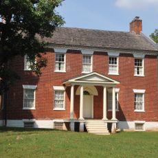
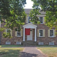
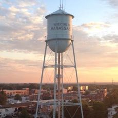
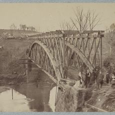
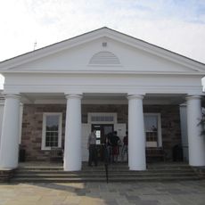
Manassas Park, independent city in Virginia
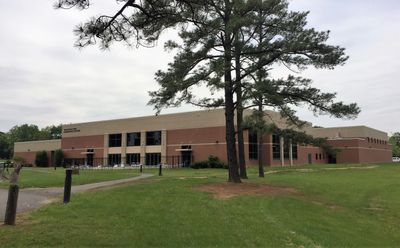
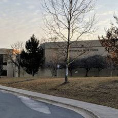
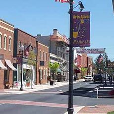
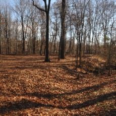
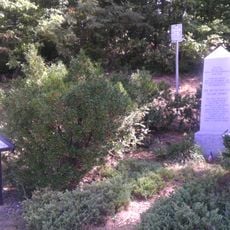
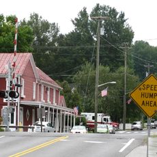
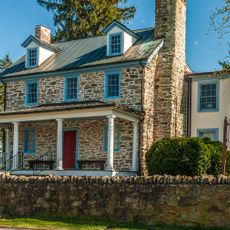
Manassas Park is an independent city in Virginia that operates as its own administrative division separate from surrounding counties. The community features residential neighborhoods, commercial areas, and public spaces that form the fabric of daily life.
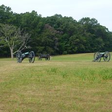
The city was established as an independent municipality in 1957, separating from neighboring Manassas to create its own governance. This independence allowed it to develop its own identity during the post-war expansion of the region.
The city has a straightforward layout typical of American towns, with clearly organized streets and distinct areas for different purposes. Most visitors can explore the main parts in a brief visit without needing detailed planning.
The community of curious travelers
AroundUs brings together thousands of curated places, local tips, and hidden gems, enriched daily by 60,000 contributors worldwide.