Enable Location

We need your location to show you interesting places around you

Discover nearby places

Find interesting locations and hidden gems around you

Precise directions

Get accurate directions and distances to places

Your location is never shared with other users. It's only used when you tap the location button.

Milwaukee County

Log in to your account

Start exploring — it's free

Trusted by 62,937 travelers worldwide

Continue with Google
Continue with Apple
or

We will send you a code to connect

By continuing, you accept our Terms and Conditions and our Privacy Policy

Check your inbox

We've sent a pincode in your inbox. Please enter the code below.

Discussion Reviews 2 Photos
69.4k Popularity

Milwaukee County, County administrative district in Wisconsin, United States.

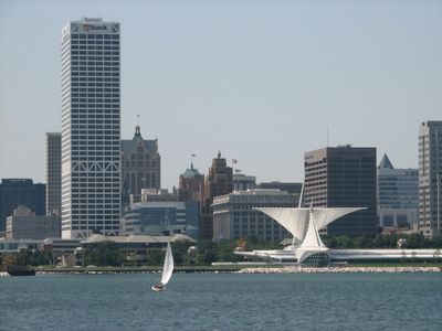
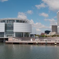
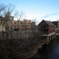
Milwaukee County is an administrative district in southeastern Wisconsin that stretches along the shore of Lake Michigan, encompassing 19 municipalities plus the city of Milwaukee itself. The district is crossed by the Milwaukee River, which winds through the landscape and empties into the lake at several points.

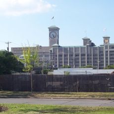
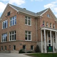
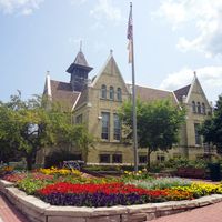
The district was formally established in 1835 during the Michigan Territory period, when Wisconsin did not yet exist as a separate state. Over the following decades, it grew into an industrial center with breweries, factories, and harbor activity on the lake.

The name comes from the Milwaukee River, whose designation likely derives from an Algonquin language referring to good land or gathering waters. Along the lakefront promenade, festivals and public events take place year-round, drawing visitors and locals alike.

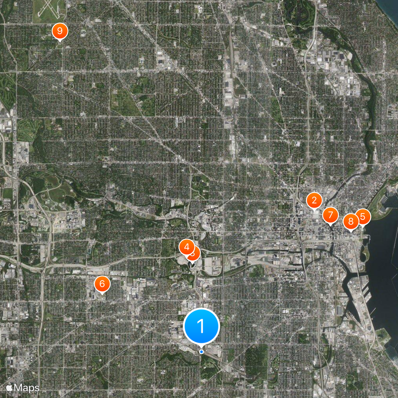
An extensive bus network connects all municipalities within the district and offers regular service to parks, cultural sites, and residential neighborhoods. General Mitchell International Airport lies south of the city and is easily reached by major roads.

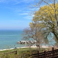
The water area of the district includes not just shoreline sections but also portions of Lake Michigan itself, reaching far beyond the visible coastline. These large water areas influence the local climate and create cooler summers and milder winters than in other parts of Wisconsin.

The community of curious travelers

AroundUs brings together thousands of curated places, local tips, and hidden gems, enriched daily by 60,000 contributors worldwide.

Start exploring
Location
Inception
1835
Capital city
Milwaukee
Shares border with
Ozaukee County, Racine County, Waukesha County, Washington County, Muskegon County, Ottawa County
GPS coordinates
43.00000,-87.96713
Latest update
December 13, 2025 17:52
Around this place
Fiserv Forum
United States of America

Fiserv Forum

6.4 km
American Family Field
United States of America

American Family Field

3.2 km
Milwaukee County Stadium
United States of America

Milwaukee County Stadium

3.4 km
Milwaukee Art Museum
United States of America

Milwaukee Art Museum

7.2 km
Milwaukee Mile
United States of America

Milwaukee Mile

4.1 km
Bronze Fonz
United States of America

Bronze Fonz

6.4 km
U.S. Bank Center
United States of America

U.S. Bank Center

6.8 km
Annunciation Greek Orthodox Church
United States of America

Annunciation Greek Orthodox Church

12.1 km
Hoan Bridge
United States of America

Hoan Bridge

6.2 km
Harley-Davidson Museum
United States of America

Harley-Davidson Museum

5.4 km
Milwaukee City Hall
United States of America

Milwaukee City Hall

6.6 km
Pabst Mansion
United States of America

Pabst Mansion

5 km
The Rave
United States of America

The Rave

4.7 km
Milwaukee Public Museum
United States of America

Milwaukee Public Museum

5.9 km
Borchert Field
United States of America

Borchert Field

9.1 km
Milwaukee County Zoo
United States of America

Milwaukee County Zoo

6.9 km
Pabst Theater
United States of America

Pabst Theater

6.5 km
Rockwell Automation Headquarters
United States of America

Rockwell Automation Headquarters

4.9 km
Mitchell Park Horticultural Conservatory
United States of America

Mitchell Park Horticultural Conservatory

3.4 km
Discovery World Science + Technology Center
United States of America

Discovery World Science + Technology Center

7.1 km
Basilica of St. Josaphat
United States of America

Basilica of St. Josaphat

3.9 km
Northwestern Mutual Tower and Commons
United States of America

Northwestern Mutual Tower and Commons

7 km
Milwaukee Public Market
United States of America

Milwaukee Public Market

6.2 km
American System-Built Homes
United States of America

American System-Built Homes

1.9 km
Marcus Amphitheater
United States of America

Marcus Amphitheater

6.4 km
St. Joan of Arc Chapel
United States of America

St. Joan of Arc Chapel

5.1 km
Forest Home Cemetery
United States of America

Forest Home Cemetery

2 km
Henry Maier Festival Park
United States of America

Henry Maier Festival Park

6.4 km
Show the full map
Reviews
Share your experience

No review yet

Discussions
Start a discussion...

No discussion yet

« Milwaukee County - County administrative district in Wisconsin, United States » is provided by Around Us (aroundus.com). Images and texts are derived from Wikimedia project under a Creative Commons license. You are allowed to copy, distribute, and modify copies of this page, under the conditions set by the license, as long as this note is clearly visible.

Discover hidden gems everywhere you go!

From secret cafés to breathtaking viewpoints, skip the crowded tourist spots and find places that match your style. Our app makes it easy with voice search, smart filtering, route optimization, and insider tips from travelers worldwide. Download now for the complete mobile experience.

Around Us App Screenshot

A unique approach to discovering new places

Le Figaro

All the places worth exploring

France Info

A tailor-made excursion in just a few clicks

20 Minutes

Around Us
Travel Guide & Maps
Download

Send to your phone

QR Code
1

Open the camera app on your mobile.

2

Point at the QR code with your camera. A notification will appear.

3

Tap the notification to open the link.