Enable Location

We need your location to show you interesting places around you

Discover nearby places

Find interesting locations and hidden gems around you

Precise directions

Get accurate directions and distances to places

Your location is never shared with other users. It's only used when you tap the location button.

Carlisle County

Log in to your account

Start exploring — it's free

Trusted by 62,994 travelers worldwide

Continue with Google
Continue with Apple
or

We will send you a code to connect

By continuing, you accept our Terms and Conditions and our Privacy Policy

Check your inbox

We've sent a pincode in your inbox. Please enter the code below.

Discussion Reviews 1 Photos
9.4k Popularity

Carlisle County, County in Kentucky, United States

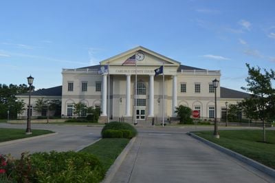
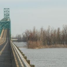
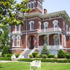
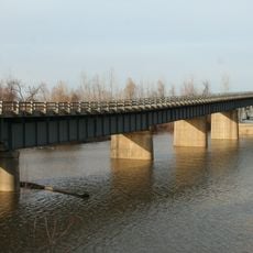
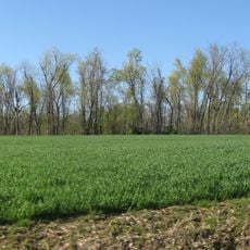
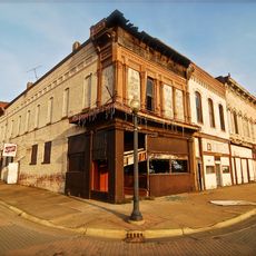
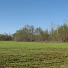
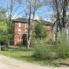
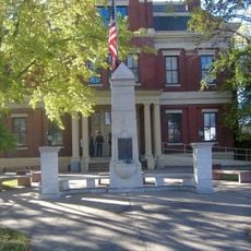
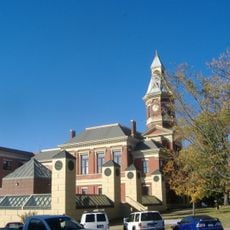
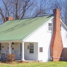
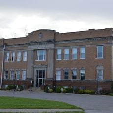
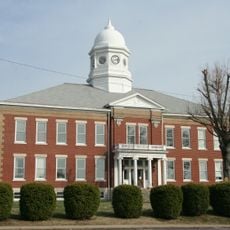
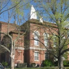
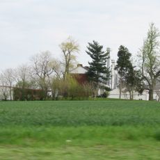
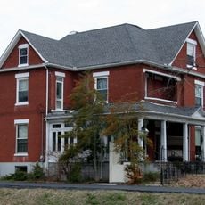
Carlisle County is an administrative division in western Kentucky with the Mississippi River forming its western boundary. The county encompasses primarily rural and agricultural areas, with Bardwell serving as the county seat and main hub for local government services.

The county was established in 1886 and named after John Griffin Carlisle, a prominent 19th-century politician. This creation was part of the administrative expansion that shaped western Kentucky's structure during that era.

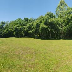
The county maintains its rural character through festivals and gatherings where residents connect with their farming heritage and traditions. These community events form the heart of social life in the area.

Visitors should know this is a rural area where farming shapes daily life and community rhythms. Spring and autumn are ideal for exploring the countryside and attending local events that bring the community together.

It ranks among Kentucky's least populated counties and has maintained a ban on alcohol sales since its founding. This distinctive policy continues to shape the character and lifestyle of the community today.

The community of curious travelers

AroundUs brings together thousands of curated places, local tips, and hidden gems, enriched daily by 60,000 contributors worldwide.

Start exploring
Location
Inception
April 3, 1886
Capital city
Bardwell
Shares border with
Ballard County, McCracken County, Graves County, Hickman County, Mississippi County
GPS coordinates
36.85000,-88.98000
Latest update
December 10, 2025 15:58
Around this place
Olmsted Locks and Dam
United States of America

Olmsted Locks and Dam

37.9 km
Cairo Mississippi River Bridge
United States of America

Cairo Mississippi River Bridge

20.7 km
Wickliffe Mounds
United States of America

Wickliffe Mounds

16.8 km
Magnolia Manor
United States of America

Magnolia Manor

25.3 km
Cache River
United States of America

Cache River

29.6 km
Columbus-Belmont State Park
United States of America

Columbus-Belmont State Park

14.7 km
Cairo Ohio River Bridge
United States of America

Cairo Ohio River Bridge

21.8 km
Cairo Rail Bridge
United States of America

Cairo Rail Bridge

26 km
Towosahgy State Historic Site
United States of America

Towosahgy State Historic Site

28.7 km
Wooldridge Monuments
United States of America

Wooldridge Monuments

32.6 km
Cairo I-57 Bridge
United States of America

Cairo I-57 Bridge

28.2 km
Turk Site
United States of America

Turk Site

10.6 km
Cairo Historic District
United States of America

Cairo Historic District

24.5 km
Mound City National Cemetery
United States of America

Mound City National Cemetery

30.9 km
Marshall Site
United States of America

Marshall Site

10.7 km
Marvin College Boys Dormitory and President's House
United States of America

Marvin College Boys Dormitory and President's House

19.8 km
Confederate Memorial in Mayfield
United States of America

Confederate Memorial in Mayfield

33 km
Confederate Memorial Gates in Mayfield
United States of America

Confederate Memorial Gates in Mayfield

32.7 km
Mayfield Downtown Commercial District
United States of America

Mayfield Downtown Commercial District

33 km
George W. Stone House
United States of America

George W. Stone House

9.3 km
Pulaski County Courthouse
United States of America

Pulaski County Courthouse

31.2 km
Ballard County Courthouse
United States of America

Ballard County Courthouse

16.1 km
Hickman County Courthouse
United States of America

Hickman County Courthouse

20.4 km
Jacob Swank House
United States of America

Jacob Swank House

35.7 km
Moore House
United States of America

Moore House

33.9 km
Carnegie Library
United States of America

Carnegie Library

36 km
Barlow House
United States of America

Barlow House

23.2 km
Trimble House
United States of America

Trimble House

16.6 km
Show the full map
Reviews
Share your experience

No review yet

Discussions
Start a discussion...

No discussion yet

« Carlisle County - County in Kentucky, United States » is provided by Around Us (aroundus.com). Images and texts are derived from Wikimedia project under a Creative Commons license. You are allowed to copy, distribute, and modify copies of this page, under the conditions set by the license, as long as this note is clearly visible.

Discover hidden gems everywhere you go!

From secret cafés to breathtaking viewpoints, skip the crowded tourist spots and find places that match your style. Our app makes it easy with voice search, smart filtering, route optimization, and insider tips from travelers worldwide. Download now for the complete mobile experience.

Around Us App Screenshot

A unique approach to discovering new places

Le Figaro

All the places worth exploring

France Info

A tailor-made excursion in just a few clicks

20 Minutes

Around Us
Travel Guide & Maps
Download

Send to your phone

QR Code
1

Open the camera app on your mobile.

2

Point at the QR code with your camera. A notification will appear.

3

Tap the notification to open the link.