Lumpkin County

Log in to your account

AroundUs is a community-driven map of interesting places, built by curious explorers like you. It grows with every review, story, and photo you share.
Connect to save your favorite spots, contribute locations, and create personalized routes.
Continue with Google
Continue with Apple
Continue with X
Continue with Facebook
Continue with email
By continuing, you accept our Terms and Conditions and our Privacy Policy
Create an account
Add to collection
Map
Suggest a change
Share

Lumpkin County, County in northeastern Georgia, United States

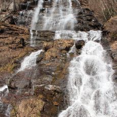
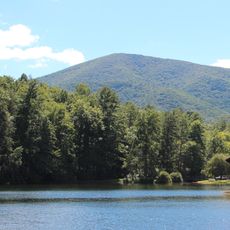
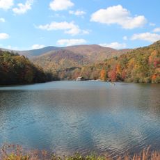
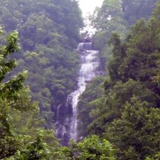
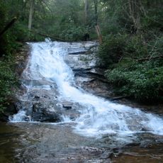
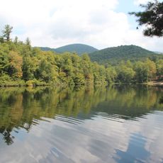
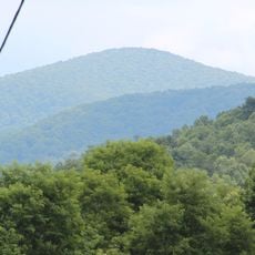
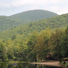
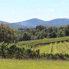
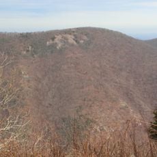
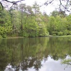
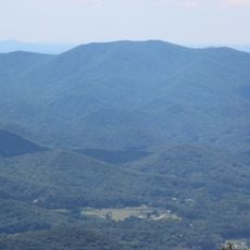
Lumpkin County spreads across northeastern Georgia within the Blue Ridge Mountains, combining forested hillsides with flowing streams and valleys. The landscape features protected forest areas with established trails and outdoor facilities for visitors to explore.

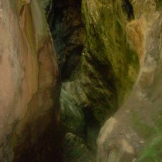
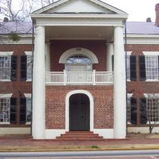
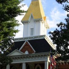
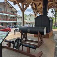
Gold discoveries near Dahlonega beginning in 1828 triggered the first major gold rush in America, drawing thousands of miners to the region. This early mining activity shaped the settlement patterns and development of communities across the county for generations.

The university presence shapes how people gather and interact in local communities throughout the region. Students and residents create a blend of academic and rural traditions that defines daily life here.

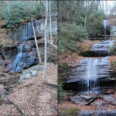
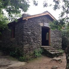
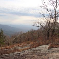
Outdoor activities and trails are accessible throughout the year, with facilities ranging from simple day-use areas to full camping sites. Weather in the mountains can change quickly, so bringing layers and rain protection helps ensure a comfortable visit.

Gold mined from these lands during the 1800s was used to cover the dome of Georgia's State Capitol building in Atlanta, creating a lasting connection between this county and the state's center of government. Few visitors realize this gleaming dome represents a direct link to local mining heritage.

Location: Georgia

Inception: December 3, 1832

Capital city: Dahlonega

Shares border with: Union County, White County, Hall County, Dawson County, Fannin County

Website: http://lumpkincounty.gov

GPS coordinates: 34.57000,-84.00000

Latest update: December 7, 2025 10:06

Photos
Around this place
Amicalola Falls State Park
United States of America

Amicalola Falls State Park

22.3 km
Blood Mountain
United States of America

Blood Mountain

19.8 km
Springer Mountain
United States of America

Springer Mountain

18.8 km
Vogel State Park
United States of America

Vogel State Park

22.9 km
Amicalola Falls
United States of America

Amicalola Falls

22.4 km
DeSoto Falls
United States of America

DeSoto Falls

17.9 km
Helton Creek Falls
United States of America

Helton Creek Falls

22.5 km
Consolidated Gold Mine
United States of America

Consolidated Gold Mine

4.5 km
Lake Winfield Scott
United States of America

Lake Winfield Scott

19.1 km
Blood Mountain Wilderness
United States of America

Blood Mountain Wilderness

20.1 km
Dahlonega Gold Museum Historic Site
United States of America

Dahlonega Gold Museum Historic Site

4.4 km
Black Mountain
United States of America

Black Mountain

19.4 km
Slaughter Mountain
United States of America

Slaughter Mountain

20.3 km
Raven Cliffs Wilderness
United States of America

Raven Cliffs Wilderness

22 km
Ed Jenkins National Recreation Area
United States of America

Ed Jenkins National Recreation Area

19.6 km
Three Sisters
United States of America

Three Sisters

5.9 km
Price Memorial Hall
United States of America

Price Memorial Hall

4.6 km
Holly Theatre
United States of America

Holly Theatre

4.5 km
Wildcat Mountain
United States of America

Wildcat Mountain

22.2 km
Dockery Lake Recreation Area
United States of America

Dockery Lake Recreation Area

11.9 km
Levelland Mountain
United States of America

Levelland Mountain

20.2 km
Old White County Courthouse
United States of America

Old White County Courthouse

20.3 km
Dawson County Jail
United States of America

Dawson County Jail

19.9 km
Dawsonville Pool Room
United States of America

Dawsonville Pool Room

19.8 km
Dawson County Courthouse
United States of America

Dawson County Courthouse

19.8 km
Boyd and Sallie Gilleland House
United States of America

Boyd and Sallie Gilleland House

20.1 km
Fields Place-Vickery House
United States of America

Fields Place-Vickery House

4.5 km
Chestatee River Diving Bell
United States of America

Chestatee River Diving Bell

4.3 km
Show the full map
Reviews

Visited this place? Tap the stars to rate it and share your experience / photos with the community! Try now! You can cancel it anytime.

Administrative divisions
« Lumpkin County - County in northeastern Georgia, United States » is provided by Around Us (aroundus.com). Images and texts are derived from Wikimedia project under a Creative Commons license. You are allowed to copy, distribute, and modify copies of this page, under the conditions set by the license, as long as this note is clearly visible.

Discover hidden gems everywhere you go!

From secret cafés to breathtaking viewpoints, skip the crowded tourist spots and find places that match your style. Our app makes it easy with voice search, smart filtering, route optimization, and insider tips from travelers worldwide. Download now for the complete mobile experience.

Around Us App Screenshot

A unique approach to discovering new places

Le Figaro

All the places worth exploring

France Info

A tailor-made excursion in just a few clicks

20 Minutes