Cabell County

Log in to your account

AroundUs is a community-driven map of interesting places, built by curious explorers like you. It grows with every review, story, and photo you share.
Connect to save your favorite spots, contribute locations, and create personalized routes.
Continue with Google
Continue with Apple
Continue with X
Continue with Facebook
Continue with email
By continuing, you accept our Terms and Conditions and our Privacy Policy
Create an account
Add to collection
Map
Suggest a change
Share

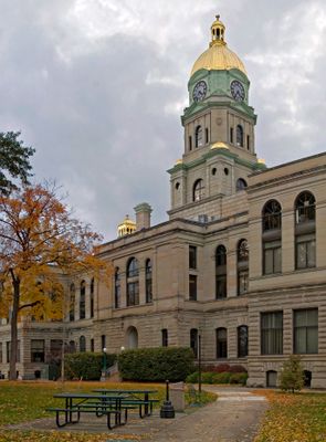
Cabell County, Administrative county in West Virginia, United States.

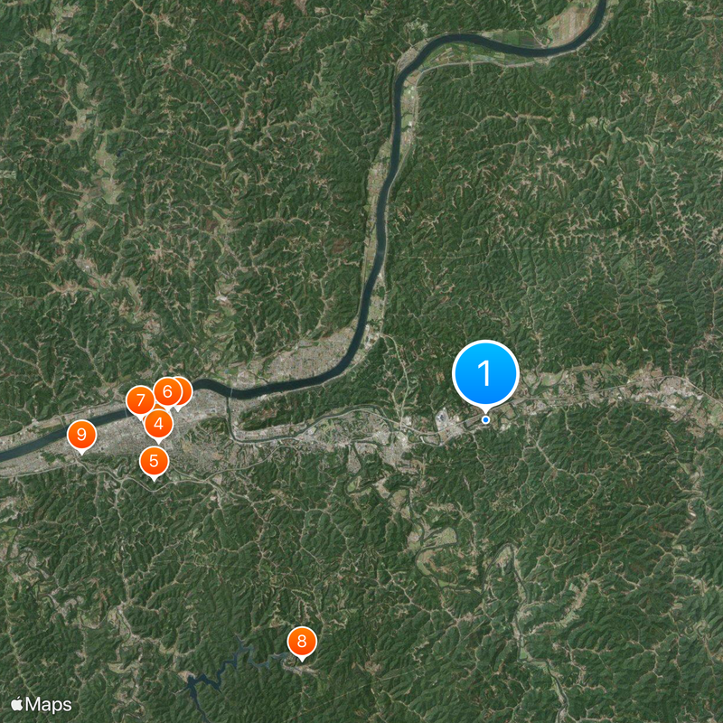
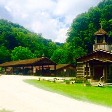
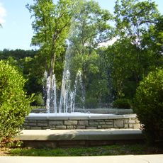
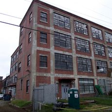
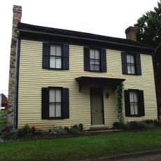
Cabell County is an administrative county in West Virginia that borders the Ohio River and includes Huntington as its largest city. The area mixes urban and rural zones with industrial sites, neighborhoods, and open spaces.

The county was established in 1809 and named after Governor William H. Cabell, then became part of the newly formed state of West Virginia in 1863. This transition represented a major shift in the region's administrative history.

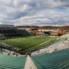
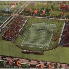
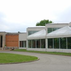
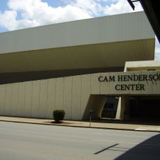
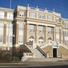
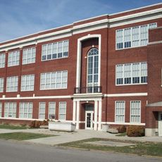
Marshall University in Huntington shapes the educational landscape of Cabell County, providing higher education opportunities and research facilities to regional students.

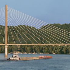
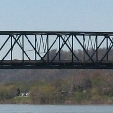
The area is well connected by Interstate 64 and several US highways that link the county's different communities together. The Ohio River also offers access for those traveling by water.

Ancient earthen mounds built by the Adena people remain scattered across the area, preserving evidence of early settlement. These archaeological sites reveal the region's long human history before European arrival.

Location: West Virginia

Inception: January 2, 1809

Capital city: Huntington

Shares border with: Gallia County, Mason County, Putnam County, Wayne County, Lincoln County, Lawrence County

Website: http://cabellcounty.org

GPS coordinates: 38.42000,-82.24000

Latest update: December 20, 2025 12:30

Photos
Around this place
Camden Park
United States of America

Camden Park

16.9 km
Joan C. Edwards Stadium
United States of America

Joan C. Edwards Stadium

15.8 km
Fairfield Stadium
United States of America

Fairfield Stadium

16.8 km
Huntington Museum of Art
United States of America

Huntington Museum of Art

17.2 km
Cam Henderson Center
United States of America

Cam Henderson Center

16.3 km
Keith-Albee Theatre
United States of America

Keith-Albee Theatre

17.7 km
Beech Fork State Park
United States of America

Beech Fork State Park

15.4 km
Chesapeake and Ohio 1308
United States of America

Chesapeake and Ohio 1308

20.8 km
Beech Fork Lake
United States of America

Beech Fork Lake

17 km
East Huntington Bridge
United States of America

East Huntington Bridge

13.1 km
Heritage Farm Museum and Village
United States of America

Heritage Farm Museum and Village

20.4 km
Robert C. Byrd Bridge
United States of America

Robert C. Byrd Bridge

18.4 km
Old Main
United States of America

Old Main

16.6 km
Old Huntington High School
United States of America

Old Huntington High School

17.7 km
Douglass Junior and Senior High School
United States of America

Douglass Junior and Senior High School

16.7 km
Ritter Park Historic District
United States of America

Ritter Park Historic District

17.3 km
Liggett and Myers Tobacco Company
United States of America

Liggett and Myers Tobacco Company

14.8 km
United States of America

West Huntington Bridge

21.5 km
United States of America

Museum of Radio and Technology

20.4 km
Cabell County Courthouse
United States of America

Cabell County Courthouse

18 km
Mud River Covered Bridge
United States of America

Mud River Covered Bridge

8.8 km
Gen. Albert Gallatin Jenkins House
United States of America

Gen. Albert Gallatin Jenkins House

18.6 km
Downtown Huntington Historic District
United States of America

Downtown Huntington Historic District

14.8 km
Thomas Carroll House
United States of America

Thomas Carroll House

13.1 km
Pink Bridge
United States of America

Pink Bridge

17.7 km
Memorial Arch
United States of America

Memorial Arch

19.5 km
Ohev Sholom Temple
United States of America

Ohev Sholom Temple

17.5 km
Rotary Park Bridge
United States of America

Rotary Park Bridge

13.5 km
Show the full map
Reviews

Visited this place? Tap the stars to rate it and share your experience / photos with the community! Try now! You can cancel it anytime.

« Cabell County - Administrative county in West Virginia, United States » is provided by Around Us (aroundus.com). Images and texts are derived from Wikimedia project under a Creative Commons license. You are allowed to copy, distribute, and modify copies of this page, under the conditions set by the license, as long as this note is clearly visible.

Discover hidden gems everywhere you go!

From secret cafés to breathtaking viewpoints, skip the crowded tourist spots and find places that match your style. Our app makes it easy with voice search, smart filtering, route optimization, and insider tips from travelers worldwide. Download now for the complete mobile experience.

Around Us App Screenshot

A unique approach to discovering new places

Le Figaro

All the places worth exploring

France Info

A tailor-made excursion in just a few clicks

20 Minutes