Cumberland County

Log in to your account

AroundUs is a community-driven map of interesting places, built by curious explorers like you. It grows with every review, story, and photo you share.
Connect to save your favorite spots, contribute locations, and create personalized routes.
Continue with Google
Continue with Apple
Continue with X
Continue with Facebook
Continue with email
By continuing, you accept our Terms and Conditions and our Privacy Policy
Create an account
Add to collection
Map
Suggest a change
Share

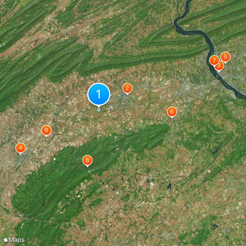
Cumberland County, Administrative county seat in Cumberland Valley, Pennsylvania, United States

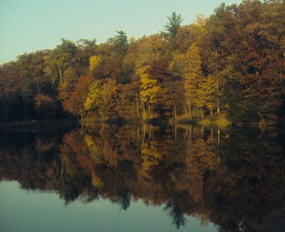
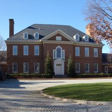
Cumberland County is an administrative region in Pennsylvania that stretches across productive agricultural lands between the Appalachian Mountains, with Carlisle serving as its governmental center. The county encompasses several towns and municipalities that together form a diverse rural and urban landscape.

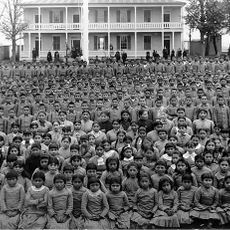
The region was established as a county in 1750 following settlement by French-Swiss traders and early colonists in the Cumberland Valley. The area played an important role in colonial conflicts and later developed into an agricultural center.

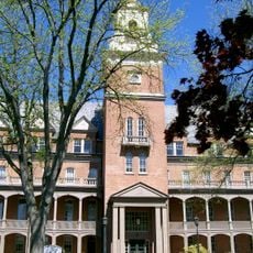
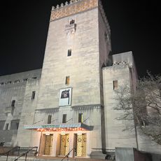
Dickinson College has shaped the intellectual life of the region since its founding in 1773 and continues to draw students from around the world. The campus and its presence make Carlisle a center for education and cultural exchange.

You can explore the county through Carlisle, which is accessible by car or public transportation and offers various lodging and dining options. The best time to visit is outside the winter months, when roads are more navigable and the surrounding area is more inviting.

The U.S. Army War College at Carlisle Barracks continues a military tradition dating back to frontier conflicts in the 18th century. The location has long been one of the nation's premier training centers for military leaders.

Location: Pennsylvania

Inception: 1750

Capital city: Carlisle

Shares border with: Perry County, Dauphin County, York County, Adams County, Franklin County

Website: http://ccpa.net

GPS coordinates: 40.17000,-77.27000

Latest update: December 14, 2025 19:50

Photos
Around this place
Carlisle Indian Industrial School
United States of America

Carlisle Indian Industrial School

8.9 km
Pennsylvania State Capitol
United States of America

Pennsylvania State Capitol

34.5 km
Shippensburg University of Pennsylvania
United States of America

Shippensburg University of Pennsylvania

24.6 km
Keystone Corridor
United States of America

Keystone Corridor

37 km
United States of America

Williams Grove Amusement Park

20.2 km
Pennsylvania Governor's Residence
United States of America

Pennsylvania Governor's Residence

33.8 km
Pine Grove Furnace State Park
United States of America

Pine Grove Furnace State Park

15.8 km
United States of America

Torrey C. Brown Rail Trail

16.2 km
Michaux State Forest
United States of America

Michaux State Forest

21.4 km
Gifford Pinchot State Park
United States of America

Gifford Pinchot State Park

34.3 km
City Island
United States of America

City Island

33.8 km
U.S. Army Heritage and Education Center
United States of America

U.S. Army Heritage and Education Center

10.2 km
Walnut Street Bridge
United States of America

Walnut Street Bridge

34.1 km
Pennsylvania State Capitol Complex
United States of America

Pennsylvania State Capitol Complex

34.6 km
Philadelphia & Reading Railroad Bridge
United States of America

Philadelphia & Reading Railroad Bridge

34.1 km
Cumberland Valley Railroad Bridge
United States of America

Cumberland Valley Railroad Bridge

34 km
Colonel Denning State Park
United States of America

Colonel Denning State Park

16.9 km
Whitaker Center for Science and the Arts
United States of America

Whitaker Center for Science and the Arts

34.6 km
United States of America

Commonwealth

34.5 km
Broad Street Market
United States of America

Broad Street Market

34.3 km
State Street Bridge
United States of America

State Street Bridge

35 km
United States of America

Capital Area Greenbelt

36.1 km
Shippen House
United States of America

Shippen House

25.3 km
Cathedral of Saint Patrick
United States of America

Cathedral of Saint Patrick

34.2 km
Susquehanna Art Museum
United States of America

Susquehanna Art Museum

34.2 km
Appalachian Trail Museum
United States of America

Appalachian Trail Museum

15.6 km
Zembo Shrine Building
United States of America

Zembo Shrine Building

34.2 km
Pine Grove Iron Works
United States of America

Pine Grove Iron Works

15.9 km
Show the full map
Reviews

Visited this place? Tap the stars to rate it and share your experience / photos with the community! Try now! You can cancel it anytime.

« Cumberland County - Administrative county seat in Cumberland Valley, Pennsylvania, United States » is provided by Around Us (aroundus.com). Images and texts are derived from Wikimedia project under a Creative Commons license. You are allowed to copy, distribute, and modify copies of this page, under the conditions set by the license, as long as this note is clearly visible.

Discover hidden gems everywhere you go!

From secret cafés to breathtaking viewpoints, skip the crowded tourist spots and find places that match your style. Our app makes it easy with voice search, smart filtering, route optimization, and insider tips from travelers worldwide. Download now for the complete mobile experience.

Around Us App Screenshot

A unique approach to discovering new places

Le Figaro

All the places worth exploring

France Info

A tailor-made excursion in just a few clicks

20 Minutes