Wayne County, Administrative county in northeastern Pennsylvania, US
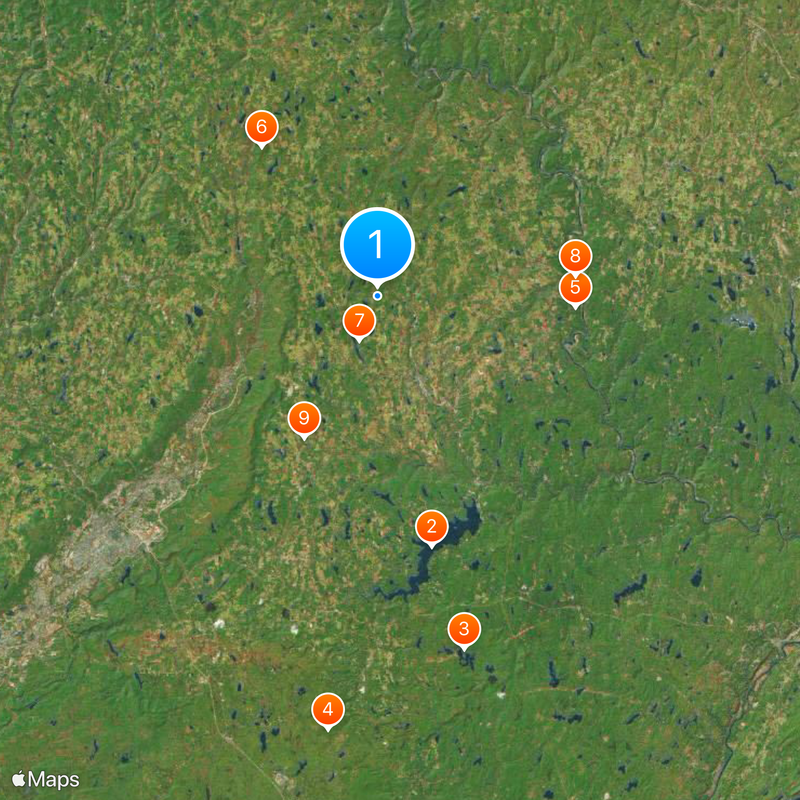
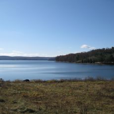
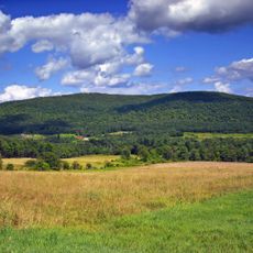
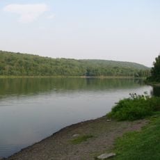
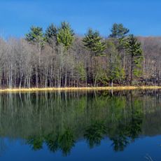
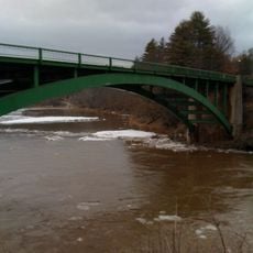
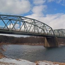
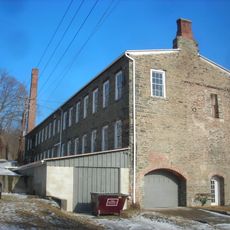
Wayne County is an administrative county in northeastern Pennsylvania with varied terrain throughout its area. The landscape transitions from northern mountains to wetlands along the New York border in the south.
The county was established in 1798 from portions of Northampton and Lycoming counties. It was named after General Anthony Wayne, a Revolutionary War military leader.
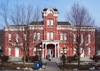
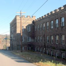
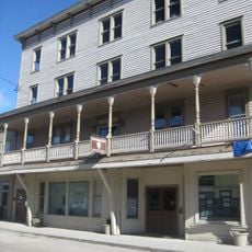
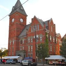
The Wayne County Courthouse in Honesdale serves as a gathering place where residents come for legal matters and community events throughout the year. The building anchors local civic life and reflects how this region values its institutional heritage.
Visitors can access online GIS mapping services and property information, which help with navigation and planning. These digital resources make it easier to understand the layout and features of the area.
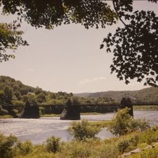
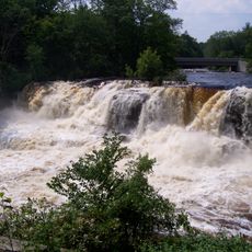
Mount Ararat is the highest peak in the county and stands out across the landscape. The Lehigh River also originates in the southern portion and flows onward from there.
Location: Pennsylvania
Inception: March 21, 1798
Capital city: Honesdale
Shares border with: Broome County, Delaware County, Sullivan County, Pike County, Monroe County, Lackawanna County, Susquehanna County
Website: http://co.wayne.pa.us
GPS coordinates: 41.65000,-75.31000
Latest update: December 19, 2025 22:59
Lake Wallenpaupack
27 km
Promised Land State Park
38.4 km
Tobyhanna State Park
46.1 km
Upper Delaware Scenic and Recreational River
20.9 km
Mount Ararat
19.9 km
Prompton State Park
5 km
Skinners Falls–Milanville Bridge
21 km
St. Tikhon's Orthodox Monastery
16.8 kmFairview Lake
30 km
Varden Conservation Area
19.3 km
Bellemonte Silk Mill
22.9 km
Lacawac
30.2 km
St. Joseph's Seraphic Seminary
24.8 km
Little Equinunk Bridge
25.3 km
Narrowsburg–Darbytown Bridge
21.1 km
Lordville-Equinunk Bridge
25.5 km
Cochecton–Damascus Bridge
21.1 km
Callicoon Bridge
24.4 km
Big Bushkill Creek
45.1 km
Arlington Hotel
21.2 kmRavina
26 km
Patriotic Order Sons of America Washington Camp 422
41.9 km
Octagon Stone Schoolhouse
20 kmRiverside Cemetery
26.7 km
Spring Glen Synagogue
10.1 km
Eugene Dorflinger Estate
16.5 km
Carbondale City Hall and Courthouse
18.3 km
Lord House
37.5 kmVisited this place? Tap the stars to rate it and share your experience / photos with the community! Try now! You can cancel it anytime.
Discover hidden gems everywhere you go!
From secret cafés to breathtaking viewpoints, skip the crowded tourist spots and find places that match your style. Our app makes it easy with voice search, smart filtering, route optimization, and insider tips from travelers worldwide. Download now for the complete mobile experience.
A unique approach to discovering new places❞
— Le Figaro
All the places worth exploring❞
— France Info
A tailor-made excursion in just a few clicks❞
— 20 Minutes