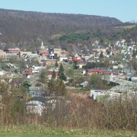
Elk County, County seat in Pennsylvania, US.
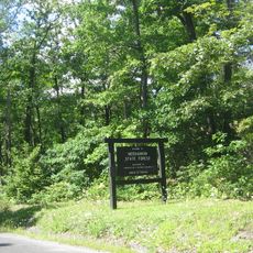
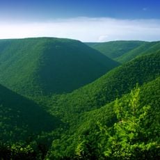
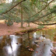
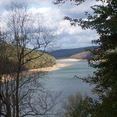
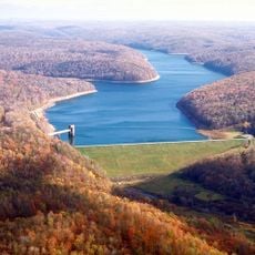
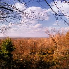
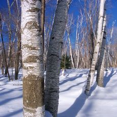
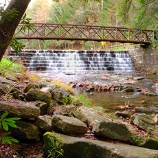
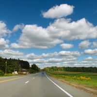
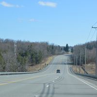
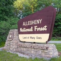
Elk County is a county in north-central Pennsylvania with extensive forest covering most of its land, including portions of the Allegheny National Forest and state game lands. The landscape consists mainly of dense woodland with river valleys and rolling terrain throughout.
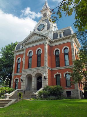
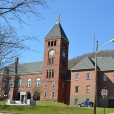
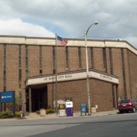
The county was established in 1843, with Ridgway selected as the county seat due to its central location and river access. The region later became a center for leather and timber industries that shaped its economy for generations.
The annual Chainsaw Carving Rendezvous in Ridgway draws wood carvers who sculpt logs into art using chainsaws and hand tools. This event reflects the region's ongoing connection to timber craftsmanship and local artistic traditions.
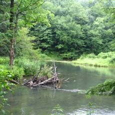
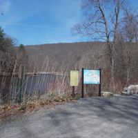
The county maintains numerous trails through its forests for hiking, biking, horseback riding, and camping in natural settings. Visitors should prepare for variable weather and expect longer travel times to reach remote trail areas.
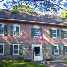
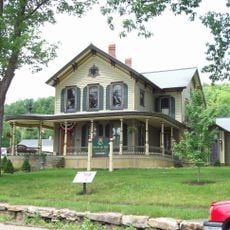
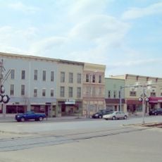
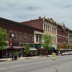
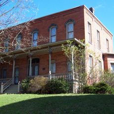
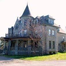
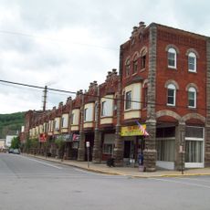
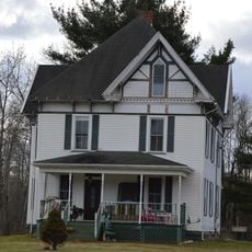
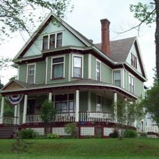
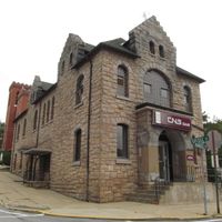
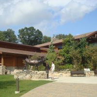
In the early 1900s, Ridgway had one of the highest concentrations of millionaires per capita in Pennsylvania, driven by leather and timber trade. This rapid wealth resulted in grand houses and commercial buildings whose remnants remain visible in the town today.
The community of curious travelers
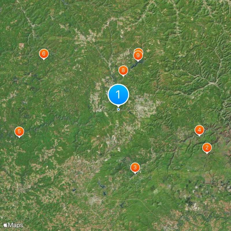
AroundUs brings together thousands of curated places, local tips, and hidden gems, enriched daily by 60,000 contributors worldwide.