Westmoreland County, Administrative county in Northern Neck, Virginia.
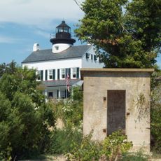
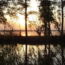
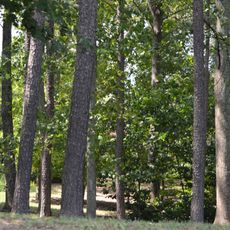
Westmoreland County is an administrative county in Virginia's Northern Neck region, stretching between the Potomac River and the Rappahannock River. The territory is characterized by riverbank landscapes, farmland, and small historic towns including Montross.
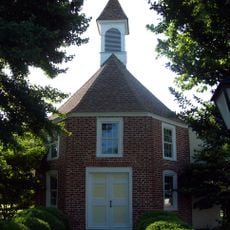
The county was established in 1653 by Virginia's colonial House of Burgesses, separating from Northumberland County as the region grew. Its name references the English county of Westmorland, marking an early administrative division during colonial settlement.
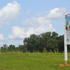
The Northern Neck George Washington Birthplace wine region carries on traditions of grape growing and produces wines following specific regional standards. Visitors can see how vineyards shape the local landscape and connect to the area's agricultural roots.
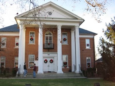
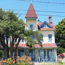
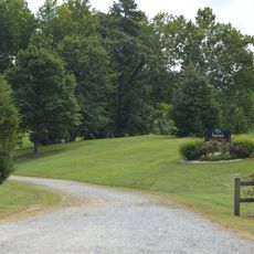
Montross serves as the county seat and administrative center for local services and government offices. Exploring the area works best by car, as communities are spread throughout the farmland and river valleys.
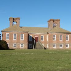
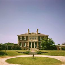
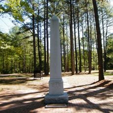
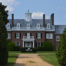
Three major American figures were born in this territory: George Washington, James Monroe, and Confederate General Robert E. Lee. This connection to founding and early leaders gives the area a remarkable place in American history.
The community of curious travelers
AroundUs brings together thousands of curated places, local tips, and hidden gems, enriched daily by 60,000 contributors worldwide.