
Red Bud, city in Randolph County, Illinois, United States
Location: Randolph County
Inception: 1820
Elevation above the sea: 140 m
Website: http://cityofredbud.org
GPS coordinates: 38.20959,-89.99976
Latest update: March 23, 2025 20:48
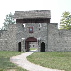
Fort de Chartres
19.6 km
Illinois Caverns State Natural Area
12.3 km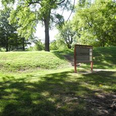
Fort Kaskaskia State Historic Site
27.9 km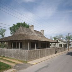
Louis Bolduc House
26 km
Felix Vallé House State Historic Site
25.9 km
Modoc Rock Shelter
17.3 km
Pierre Menard House
28.4 km
Ste. Genevieve Historic District
25.8 km
French Colonial Historic District
18.4 km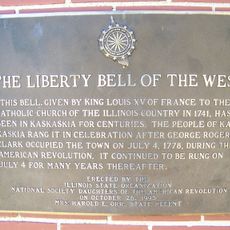
Kaskaskia Bell State Memorial
32.8 km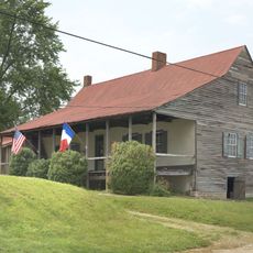
Amoureux House
26.5 km
Kolmer Site
20.6 km
Fults Hill Prairie State Natural Area
31.2 km
Creole House
16.2 km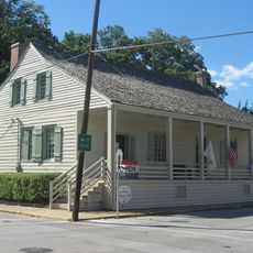
Jacques Guibourd Historic House
26 km
Fountain Creek Bridge
21.5 km
Le Grand Champ Bottom
29.1 km
Charter Oak Schoolhouse
22.5 km
Waterloo Historic District
19.4 km
Gundlach-Grosse House
32 km
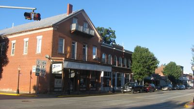
Red Bud Historic District
540 m
Sparta Historic District (Sparta, Illinois)
27.7 km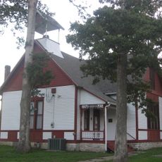
Marissa Academy
21.7 km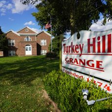
Turkey Hill Grange Hall
30.3 km
West Park Bowl
32.3 km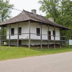
Bequette-Ribault House
26.6 km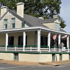
Ste. Geneviève National Historical Park
25.9 km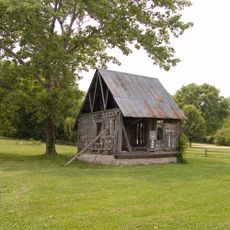
Lasource-Durand House
26.6 kmReviews
Visited this place? Tap the stars to rate it and share your experience / photos with the community! Try now! You can cancel it anytime.
Discover hidden gems everywhere you go!
From secret cafés to breathtaking viewpoints, skip the crowded tourist spots and find places that match your style. Our app makes it easy with voice search, smart filtering, route optimization, and insider tips from travelers worldwide. Download now for the complete mobile experience.

A unique approach to discovering new places❞
— Le Figaro
All the places worth exploring❞
— France Info
A tailor-made excursion in just a few clicks❞
— 20 Minutes