Randolph County

Log in to your account

AroundUs is a community-driven map of interesting places, built by curious explorers like you. It grows with every review, story, and photo you share.
Connect to save your favorite spots, contribute locations, and create personalized routes.
Continue with Google
Continue with Apple
Continue with X
Continue with Facebook
Continue with email
By continuing, you accept our Terms and Conditions and our Privacy Policy
Create an account
Add to collection
Map
Suggest a change
Share

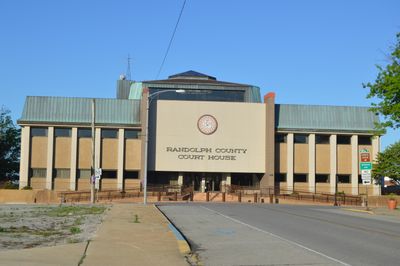
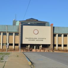
Randolph County, County administrative division in southern Illinois, US

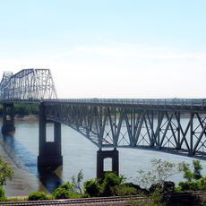
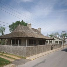
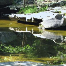
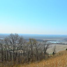
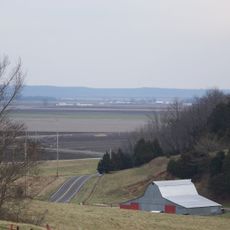
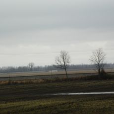
Randolph County is an administrative region in southern Illinois that stretches along the Mississippi River with a mix of hills, forests, and farmland spread across it. Three main highways run through the area and connect various towns and outdoor recreation spaces.

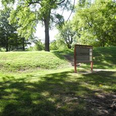
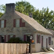
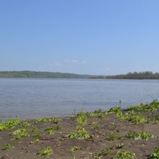
This region was founded in 1795 and ranks among Illinois's earliest administrative divisions, named after Edmund Randolph, a governor of Virginia. A dramatic shift came in 1881 when the Mississippi River changed course and separated the island of Kaskaskia from the mainland.

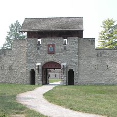
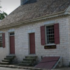
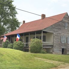
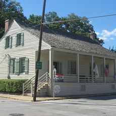
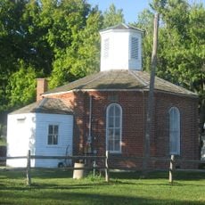
The Randolph County Museum in Chester displays local crafts and objects that reflect how people lived in earlier times. Visitors can see how communities here organized their daily lives and worked the land across generations.

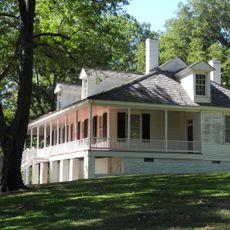
The best time to explore is during warmer months when roads and pathways are easiest to navigate. Visitors should allow time for driving between towns, as the landscape is naturally spread out across the county.

The Mississippi River's shift in 1881 was so dramatic that Kaskaskia became separated from the mainland, forcing residents to relocate their entire cemetery to higher ground. This extraordinary event reveals the river's unpredictable power and its lasting impact on communities living along its banks.

Location: Illinois

Inception: October 5, 1795

Capital city: Chester

Shares border with: St. Clair County, Perry County, Monroe County, Washington County, Jackson County, Ste. Genevieve County

Website: http://randolphco.org

GPS coordinates: 38.05000,-89.82000

Latest update: December 7, 2025 19:23

Photos
Around this place
Fort de Chartres
United States of America

Fort de Chartres

29.9 km
Fort Kaskaskia State Historic Site
United States of America

Fort Kaskaskia State Historic Site

12 km
Chester Bridge
United States of America

Chester Bridge

16.4 km
Louis Bolduc House
United States of America

Louis Bolduc House

21.1 km
Felix Vallé House State Historic Site
United States of America

Felix Vallé House State Historic Site

21.2 km
Modoc Rock Shelter
United States of America

Modoc Rock Shelter

21.4 km
Pierre Menard House
United States of America

Pierre Menard House

12.3 km
Ste. Genevieve Historic District
United States of America

Ste. Genevieve Historic District

21.1 km
Middle Mississippi River National Wildlife Refuge
United States of America

Middle Mississippi River National Wildlife Refuge

17.1 km
French Colonial Historic District
United States of America

French Colonial Historic District

27.4 km
United States of America

Kaskaskia Bell State Memorial

16.4 km
Amoureux House
United States of America

Amoureux House

21.1 km
Piney Creek Ravine State Natural Area
United States of America

Piney Creek Ravine State Natural Area

23.2 km
Kolmer Site
United States of America

Kolmer Site

32 km
Fults Hill Prairie State Natural Area
United States of America

Fults Hill Prairie State Natural Area

8.2 km
Creole House
United States of America

Creole House

24.6 km
Bois Brule Bottom
United States of America

Bois Brule Bottom

23.5 km
Jacques Guibourd Historic House
United States of America

Jacques Guibourd Historic House

21.5 km
Sacred Heart Roman Catholic Church
United States of America

Sacred Heart Roman Catholic Church

27.9 km
Mary's River Covered Bridge
United States of America

Mary's River Covered Bridge

12.2 km
Le Grand Champ Bottom
United States of America

Le Grand Champ Bottom

19.2 km
Charter Oak Schoolhouse
United States of America

Charter Oak Schoolhouse

4.9 km
St. John the Evangelist Roman Catholic Church
United States of America

St. John the Evangelist Roman Catholic Church

24.9 km
Tegtmeyer Site
United States of America

Tegtmeyer Site

23.3 km
Randolph County Courthouse
United States of America

Randolph County Courthouse

16.3 km
Piney Creek West Site
United States of America

Piney Creek West Site

23.4 km
Piney Creek Site
United States of America

Piney Creek Site

23.5 km
Red Bud Historic District
United States of America

Red Bud Historic District

23.3 km
Show the full map
Reviews

Visited this place? Tap the stars to rate it and share your experience / photos with the community! Try now! You can cancel it anytime.

« Randolph County - County administrative division in southern Illinois, US » is provided by Around Us (aroundus.com). Images and texts are derived from Wikimedia project under a Creative Commons license. You are allowed to copy, distribute, and modify copies of this page, under the conditions set by the license, as long as this note is clearly visible.

Discover hidden gems everywhere you go!

From secret cafés to breathtaking viewpoints, skip the crowded tourist spots and find places that match your style. Our app makes it easy with voice search, smart filtering, route optimization, and insider tips from travelers worldwide. Download now for the complete mobile experience.

Around Us App Screenshot

A unique approach to discovering new places

Le Figaro

All the places worth exploring

France Info

A tailor-made excursion in just a few clicks

20 Minutes