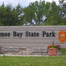
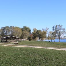
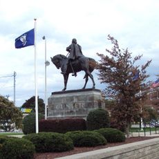
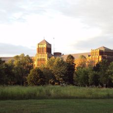
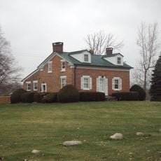
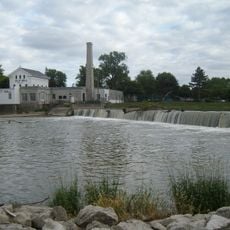
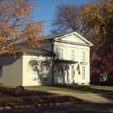
Monroe Charter Township, charter township of Michigan
Location: Monroe County
Elevation above the sea: 182 m
Shares border with: Monroe
GPS coordinates: 41.89444,-83.41389
Latest update: April 3, 2025 23:30
Maumee Bay State Park
23.6 km
Sterling State Park
7.1 km
George Armstrong Custer Equestrian Monument
3 km
Pointe Mouillee State Game Area
21.9 km
Flat Rock Speedway
22.7 km
St. Mary Catholic Central High School
3.1 km
Toledo Harbor Light
16.3 km
Toledo Yacht Club
23 km
Old Village Historic District
2.3 km
Sawyer House
2.8 km
St. Mary's Church Complex Historic District
3.1 km
Turtle Island Light
15.9 km
St. Mary's Academy Historic District
3.6 km
Edward Loranger House
5.4 km
Old Mill Museum
21.4 km
Saint Michael the Archangel Church
2.7 km
Governor Robert McClelland House
3.1 km
Jefferson Avenue–Huron River and Harbin Drive–Silver Creek Canal Bridges
23.3 km
East Elm-North Macomb Street Historic District
3.3 km
Monroe County Fairgrounds
5.6 km
Rudolph Nims House
4.9 km
Dundee Historic District
21.6 km
Luna Pier Public Beach
9.9 km
Wing–Allore House
3.1 km
Bridge School
13.4 km
St. John's Lutheran Church and School
22.7 km
North Maumee Bay Archeological District
16.4 km
Navarre-Anderson Trading Post
5.9 kmReviews
Visited this place? Tap the stars to rate it and share your experience / photos with the community! Try now! You can cancel it anytime.
Discover hidden gems everywhere you go!
From secret cafés to breathtaking viewpoints, skip the crowded tourist spots and find places that match your style. Our app makes it easy with voice search, smart filtering, route optimization, and insider tips from travelers worldwide. Download now for the complete mobile experience.
A unique approach to discovering new places❞
— Le Figaro
All the places worth exploring❞
— France Info
A tailor-made excursion in just a few clicks❞
— 20 Minutes