Monroe County, Administrative county in Michigan, US.
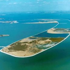
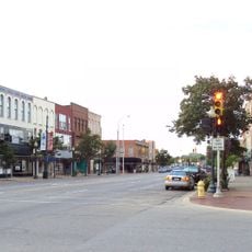
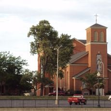
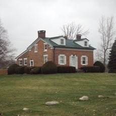
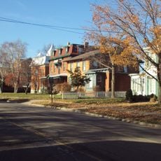
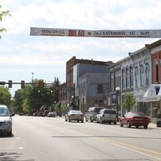
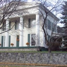
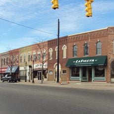
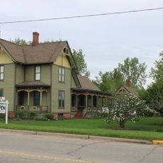
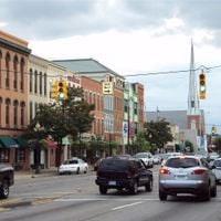
Monroe County spreads across the western shores of Lake Erie and combines urban neighborhoods, farmland, and natural areas within a region marked by wetlands and relatively flat terrain. The county borders Ohio and includes several smaller cities, with Dearborn Heights being the most populated.
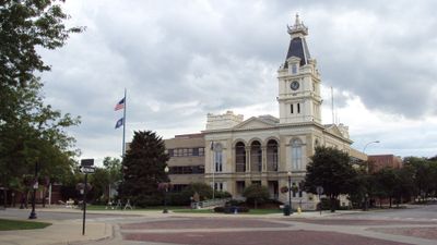
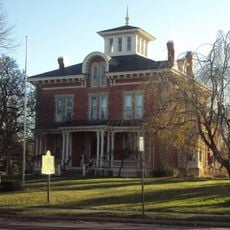
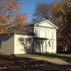
The area was originally home to Shawnee and other indigenous nations before French settlers arrived in the 18th century and established a community along the River Raisin. The county was formally established in 1817 and named after President James Monroe.
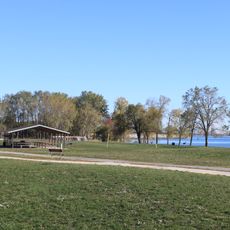
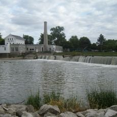
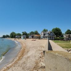
The county maintains multiple parks and recreational facilities where residents participate in outdoor activities throughout the four seasons.
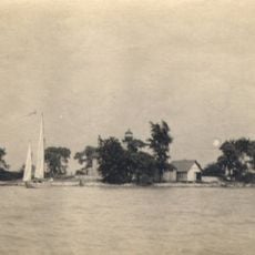
Visitors find a good mix of parks for walking and exploring, along with access to the lakeshore at several points. Spring through fall offers the best weather for getting around, with warm temperatures making outdoor activities comfortable.
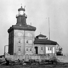
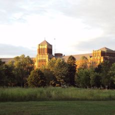
The area is home to one of the largest coal-powered electricity plants in the country, operating since the 1970s. This facility stands out as a major piece of the region's infrastructure and energy history.
Location: Michigan
Inception: 1817
Capital city: Monroe
Shares border with: Washtenaw County, Lucas County, Wayne County, Lenawee County
Website: http://co.monroe.mi.us
GPS coordinates: 41.92000,-83.50000
Latest update: December 19, 2025 23:37
Sterling State Park
13.8 km
George Armstrong Custer Equestrian Monument
8.6 km
Pointe Mouillee State Game Area
27 kmFlat Rock Speedway
24.1 km
St. Mary Catholic Central High School
8.5 km
Toledo Harbor Light
22.6 km
Lake Erie Metropark
29.2 km
Old Village Historic District
8.3 km
Sawyer House
8.9 km
St. Mary's Church Complex Historic District
8.6 km
Turtle Island Light
20.7 km
St. Mary's Academy Historic District
9.3 km
Edward Loranger House
10.6 km
Old Mill Museum
13.8 km
Saint Michael the Archangel Church
7.9 km
Governor Robert McClelland House
8.7 km
Jefferson Avenue–Huron River and Harbin Drive–Silver Creek Canal Bridges
27.3 km
East Elm-North Macomb Street Historic District
8.8 km
Main Street Historic District
23.8 km
Monroe County Fairgrounds
3.3 km
Rudolph Nims House
3.4 km
Dundee Historic District
13.9 km
Friend-Hack House
23.1 km
Luna Pier Public Beach
13.4 km
Wing–Allore House
8.9 km
Bridge School
6.1 kmMiller Park
16.9 kmWhite Park
19 kmVisited this place? Tap the stars to rate it and share your experience / photos with the community! Try now! You can cancel it anytime.
Discover hidden gems everywhere you go!
From secret cafés to breathtaking viewpoints, skip the crowded tourist spots and find places that match your style. Our app makes it easy with voice search, smart filtering, route optimization, and insider tips from travelers worldwide. Download now for the complete mobile experience.
A unique approach to discovering new places❞
— Le Figaro
All the places worth exploring❞
— France Info
A tailor-made excursion in just a few clicks❞
— 20 Minutes