Enable Location

We need your location to show you interesting places around you

Discover nearby places

Find interesting locations and hidden gems around you

Precise directions

Get accurate directions and distances to places

Your location is never shared with other users. It's only used when you tap the location button.

Jericho

Log in to your account

Start exploring — it's free

Trusted by 63,227 travelers worldwide

Continue with Google
Continue with Apple
or

We will send you a code to connect

By continuing, you accept our Terms and Conditions and our Privacy Policy

Check your inbox

We've sent a pincode in your inbox. Please enter the code below.

Discussion Reviews 1 Photos
19.5k Popularity

Jericho, town in Vermont, USA

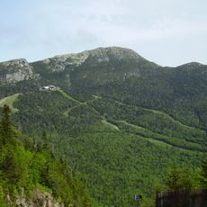
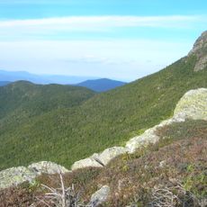
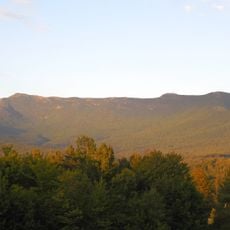
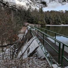
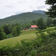
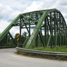
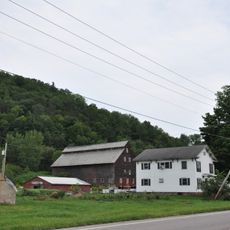
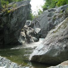
Jericho is a small town in Chittenden County in northeastern Vermont, spanning about 35 square miles of open land interspersed with homes and farms. The landscape features forests, rolling hills, and streams including Browns River that flow toward the Winooski and Lamoille watersheds.

The town was chartered in 1763 by a New Hampshire governor, with settlers arriving mainly from Massachusetts around 1774. During the American Revolution, Continental Army soldiers briefly garrisoned a small fort along the river before retreating due to threats from British forces in Canada.

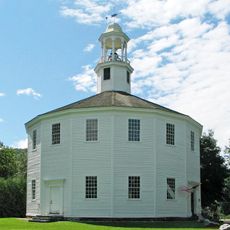
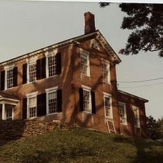
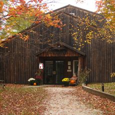
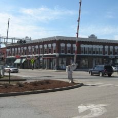
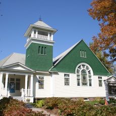
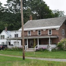
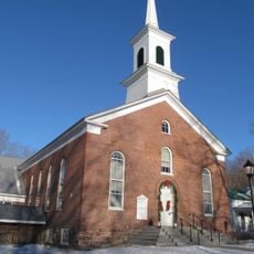
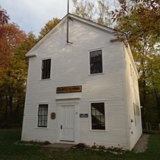
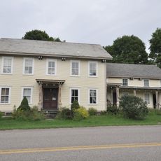
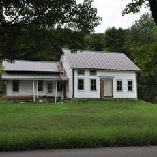
The name Jericho reflects biblical traditions and the town's early American settler heritage. Jericho Center serves as the community heart today, where historic buildings and a green space host local gatherings and seasonal events that bring neighbors together.

The town is accessed via two main highways, VT-15 and VT-117, with well-maintained roads and simple parking available. Personal cars are the primary transportation, though limited bus service serves the area, and a small private airfield accommodates private planes.

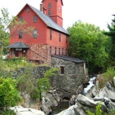
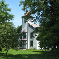
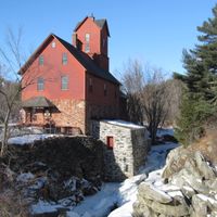
Jericho was the birthplace of Wilson 'Snowflake' Bentley, a farmer who photographed over five thousand snow crystals and pioneered snow crystal documentation. His remarkable work is preserved and displayed at The Old Red Mill and Museum in town.

The community of curious travelers

AroundUs brings together thousands of curated places, local tips, and hidden gems, enriched daily by 60,000 contributors worldwide.

Start exploring
Inception
1763
Elevation above the sea
214 m
GPS coordinates
44.47647,-72.96283
Latest update
February 16, 2026 22:40
Around this place
Mount Mansfield
United States of America

Mount Mansfield

14 km
Long Trail
United States of America

Long Trail

14.8 km
Old Round Church
United States of America

Old Round Church

9.1 km
Mount Mansfield State Forest
United States of America

Mount Mansfield State Forest

11.6 km
Galusha House
United States of America

Galusha House

4 km
Underhill State Park
United States of America

Underhill State Park

11.9 km
Birds of Vermont Museum
United States of America

Birds of Vermont Museum

14.3 km
Indian Brook Reservoir
United States of America

Indian Brook Reservoir

12.6 km
St. Thomas Church
United States of America

St. Thomas Church

6 km
Old Red Mill and Mill House
United States of America

Old Red Mill and Mill House

4.3 km
Wilson Alwyn "Snowflake" Bentley House
United States of America

Wilson Alwyn "Snowflake" Bentley House

3.8 km
Honey Hollow Camp
United States of America

Honey Hollow Camp

14.4 km
Browns River Covered Bridge
United States of America

Browns River Covered Bridge

15.6 km
Winooski River Bridge
United States of America

Winooski River Bridge

7.3 km
Downtown Essex Junction Commercial Historic District
United States of America

Downtown Essex Junction Commercial Historic District

11.8 km
Richmond Congregational Church
United States of America

Richmond Congregational Church

8.5 km
Martin Chittenden House
United States of America

Martin Chittenden House

5 km
Jonesville Academy
United States of America

Jonesville Academy

10.8 km
Gray Rocks
United States of America

Gray Rocks

8.4 km
Jericho Center Historic District
United States of America

Jericho Center Historic District

1 km
Jericho Village Historic District
United States of America

Jericho Village Historic District

4.2 km
District No. 5 Schoolhouse
United States of America

District No. 5 Schoolhouse

6.5 km
Martin M. Bates Farmstead
United States of America

Martin M. Bates Farmstead

12.6 km
Preston-Lafreniere Farm
United States of America

Preston-Lafreniere Farm

12.3 km
Williston Village Historic District
United States of America

Williston Village Historic District

9.6 km
M. S. Whitcomb Farm
United States of America

M. S. Whitcomb Farm

9 km
United States of America

Roswell Butler House

10.4 km
Huntington Gorge
United States of America

Huntington Gorge

12.2 km
Show the full map
Reviews
Share your experience

No review yet

Discussions
Start a discussion...

No discussion yet

Administrative divisions
« Jericho - town in Vermont, USA » is provided by Around Us (aroundus.com). Images and texts are derived from Wikimedia project under a Creative Commons license. You are allowed to copy, distribute, and modify copies of this page, under the conditions set by the license, as long as this note is clearly visible.

Discover hidden gems everywhere you go!

From secret cafés to breathtaking viewpoints, skip the crowded tourist spots and find places that match your style. Our app makes it easy with voice search, smart filtering, route optimization, and insider tips from travelers worldwide. Download now for the complete mobile experience.

Around Us App Screenshot

A unique approach to discovering new places

Le Figaro

All the places worth exploring

France Info

A tailor-made excursion in just a few clicks

20 Minutes

Around Us
Travel Guide & Maps
Download

Send to your phone

QR Code
1

Open the camera app on your mobile.

2

Point at the QR code with your camera. A notification will appear.

3

Tap the notification to open the link.