Allegheny Mountains, Mountain range in West Virginia, United States.
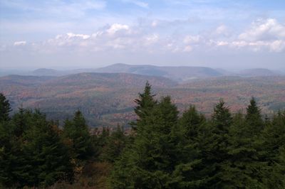
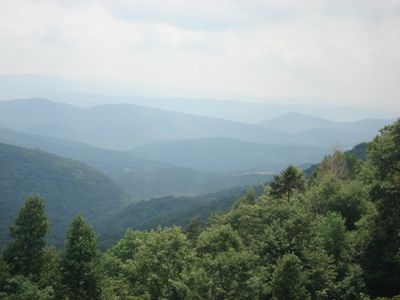
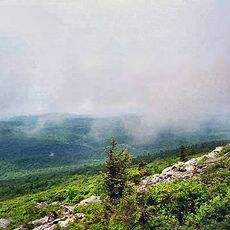
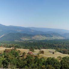
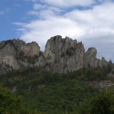
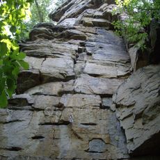
The Allegheny Mountains form a ridge system that extends roughly 300 miles (480 kilometers) through West Virginia, Pennsylvania, Maryland, and Virginia, composed mainly of sandstone and quartzite. Forested slopes rise in gentle, rolling ridges, and the highest point stands at about 4,863 feet (1,482 meters) above sea level.
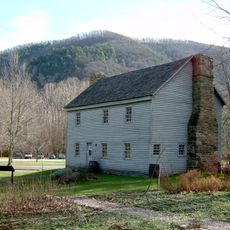
Indigenous peoples used these mountains for hunting and trading for centuries before European explorers arrived in the 17th century. Settlers began moving into the valleys during the 18th century, and the region later became shaped by logging and mining industries.
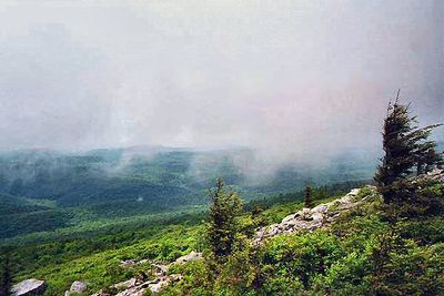
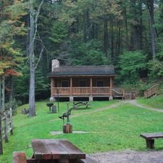
The name Allegheny comes from an indigenous language and its exact meaning remains debated among local historians and residents. Trails pass through old-growth forests where you can still see simple log cabins and shelters that echo early settler traditions.
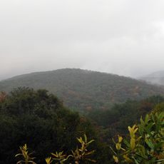
Several state parks provide access to trails and overlooks, with conditions varying by season. Winter snow and ice can make some sections difficult to navigate, while autumn often offers clear views across the valleys.
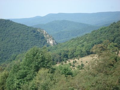
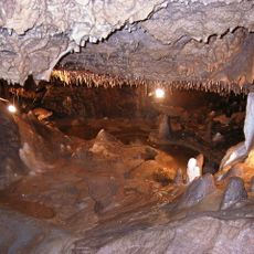
The rock layers contain extensive coal deposits that powered the region's industrial growth during the 19th century. Some exposed cliffs clearly show the horizontal bands formed over millions of years.
The community of curious travelers
AroundUs brings together thousands of curated places, local tips, and hidden gems, enriched daily by 60,000 contributors worldwide.