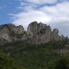
Spruce Knob, Mountain summit in Pendleton County, US
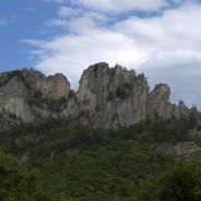
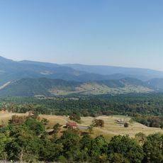
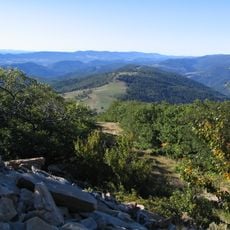
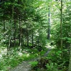
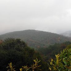
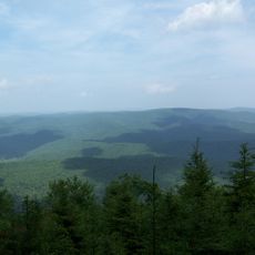
Spruce Knob is West Virginia's highest peak and features an observation tower where visitors can survey the surrounding mountains and valleys below. The mountain slopes are composed of sandstone and covered in forest, with several pathways leading to the summit.
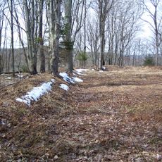
In the early 20th century, logging operations significantly shaped the landscape and reduced the spread of native red spruce forests. Recovery of the woodlands has occurred gradually since those intensive harvesting periods ended.
The location serves as a center for learning about Appalachian forest ecosystems, where visitors can discover how red spruce and other native plants thrive at this elevation. Educational programs connect travelers with the natural heritage that defines this region and shapes how people engage with the mountain today.
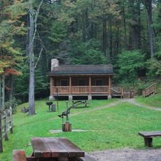
The mountain is accessible via forest roads and several hiking trails, including a short loop option through the forest. Visitors should be prepared for changing weather and strong winds, particularly at the higher elevations.
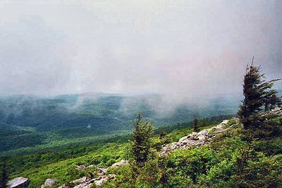
Due to relentless winds at the summit, trees develop twisted and bent forms known as Krummholz. This distinctive growth pattern occurs when constant wind shapes trees as they grow, creating an unusual sight at this elevation.
The community of curious travelers
AroundUs brings together thousands of curated places, local tips, and hidden gems, enriched daily by 60,000 contributors worldwide.