Enable Location

We need your location to show you interesting places around you

Discover nearby places

Find interesting locations and hidden gems around you

Precise directions

Get accurate directions and distances to places

Your location is never shared with other users. It's only used when you tap the location button.

Pendleton County

Log in to your account

Start exploring — it's free

Trusted by 61,534 travelers worldwide

Continue with Google
Continue with Apple
or

We will send you a code to connect

By continuing, you accept our Terms and Conditions and our Privacy Policy

Check your inbox

We've sent a pincode in your inbox. Please enter the code below.

Pendleton County, County in eastern West Virginia, United States.

Description

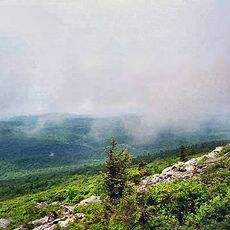
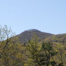
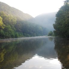
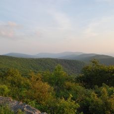
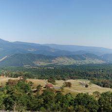
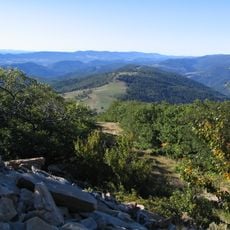
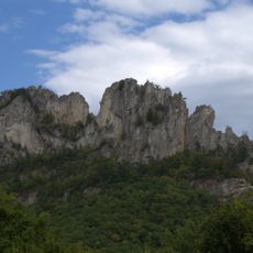
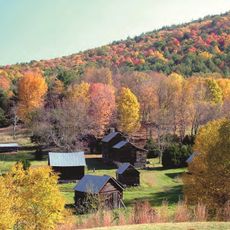
Pendleton County is a county in eastern West Virginia that spreads across mountainous terrain with extensive forests. The area sits at around 2,000 feet (600 meters) elevation and includes sections of major national forests.

History

The county was established in 1787 and named after Edmund Pendleton, a Virginia politician of that era. It was formed from portions of three earlier administrative divisions.

Culture

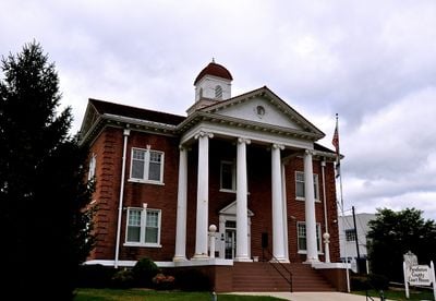
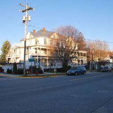
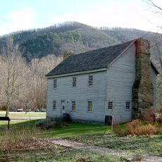
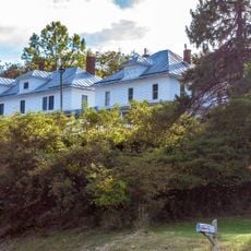
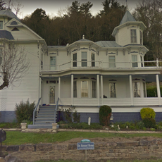
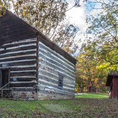
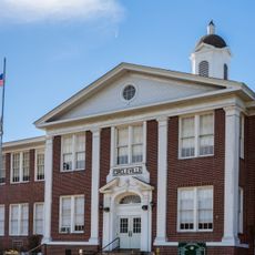
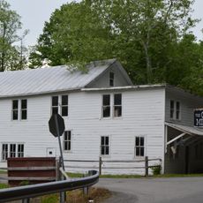
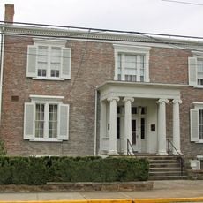
The Franklin Historic District shows buildings from different times that reveal how people have lived and built here across generations. Walking through, you can see in the architecture how life in this mountain region has evolved.

Practical

The area is mountainous and heavily forested, so be ready for unpaved roads and changing conditions depending on the season. Spring and fall offer the most stable weather for exploring the region.

Did you know?

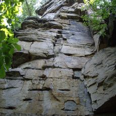
Spruce Knob, a mountain peak within the county, is the highest point in West Virginia and the entire Appalachian region. On clear days from this peak, you can see views stretching across several states.

Location
Inception
December 4, 1787
Capital city
Franklin
Elevation above the sea
667 m
Shares border with
Grant County, Augusta County, Hardy County, Rockingham County, Pocahontas County, Randolph County, Highland County
GPS coordinates
38.68000,-79.36000
Latest update
December 22, 2025 18:11

AroundUs brings together thousands of curated places, local tips, and hidden gems, enriched daily by 60,000 contributors worldwide. Discover all places nearby (West Virginia).

« Pendleton County - County in eastern West Virginia, United States » is provided by Around Us (aroundus.com). Images and texts are derived from Wikimedia project under a Creative Commons license. You are allowed to copy, distribute, and modify copies of this page, under the conditions set by the license, as long as this note is clearly visible.

Discover hidden gems everywhere you go!

From secret cafés to breathtaking viewpoints, skip the crowded tourist spots and find places that match your style. Our app makes it easy with voice search, smart filtering, route optimization, and insider tips from travelers worldwide. Download now for the complete mobile experience.

Around Us App Screenshot

A unique approach to discovering new places

Le Figaro

All the places worth exploring

France Info

A tailor-made excursion in just a few clicks

20 Minutes

Around Us
Travel Guide & Maps
Download

Send to your phone

QR Code
1

Open the camera app on your mobile.

2

Point at the QR code with your camera. A notification will appear.

3

Tap the notification to open the link.