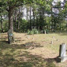
Spruce Knob-Seneca Rocks National Recreation Area, National Recreation Area in Pendleton County, United States.
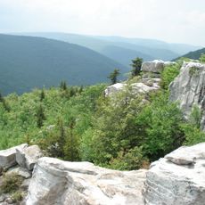
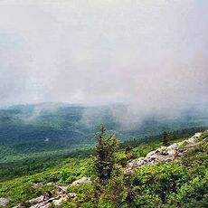
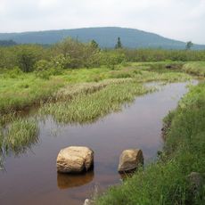
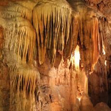
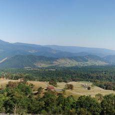
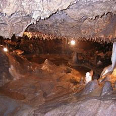
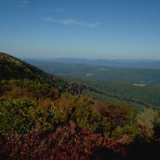
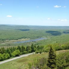
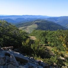
Spruce Knob-Seneca Rocks National Recreation Area is a forest protection area in eastern West Virginia covering thousands of acres for outdoor use and nature exploration. It features mountain peaks, dramatic rock faces, and varied terrain that spread across the landscape.
This area was established by the United States Forest Service in 1965 as the first national recreation area created within the national forest system. The decision reflected a new approach to balancing conservation with public outdoor access.
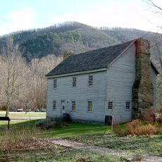
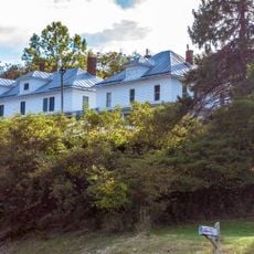
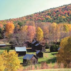
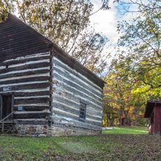
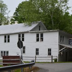
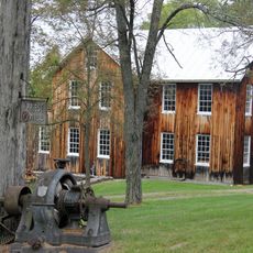
The area reflects Appalachian heritage through the way people live and work, visible in family-run shops and the seasonal gatherings that shape community life. This heritage remains woven into daily routines rather than being confined to museums or special events.
The area can be reached through several entrances with multiple trails at different difficulty levels and a visitor center for information and orientation. Weather at higher elevations changes quickly, so visitors should prepare for sudden shifts and bring appropriate gear.
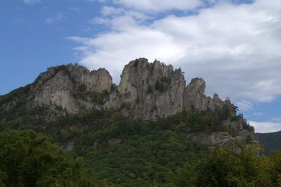
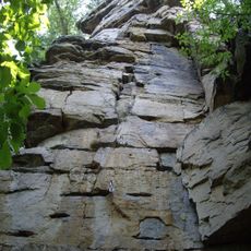
The area holds two geological extremes within its boundaries: the highest peak in West Virginia and a nearly vertical rock formation that towers above the surrounding land. This combination of summit and dramatic vertical wall creates a landscape where two opposite topographies meet in one place.
The community of curious travelers
AroundUs brings together thousands of curated places, local tips, and hidden gems, enriched daily by 60,000 contributors worldwide.