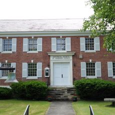
Putney, town in Windham County, Vermont, United States
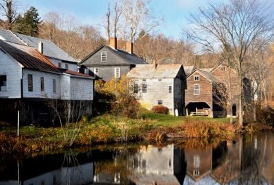
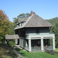
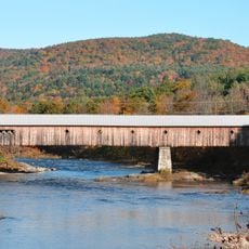
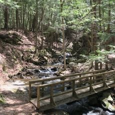
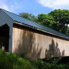
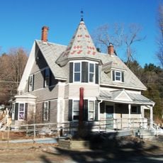
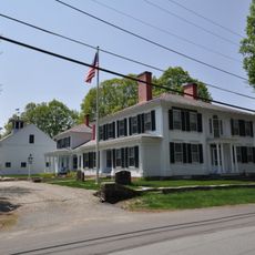
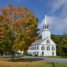
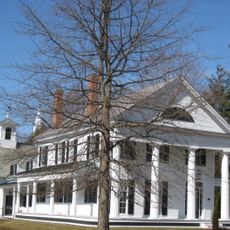
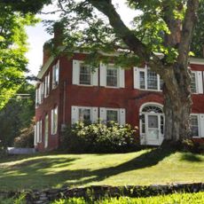
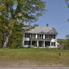
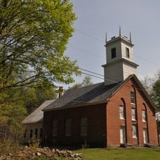
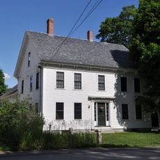
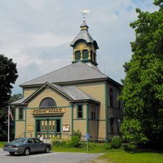
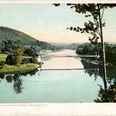
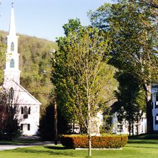
Putney is a small town in Windham County, Vermont, located along the Connecticut River and surrounded by rolling hills and historic buildings from the 18th and 19th centuries. The town center features a general store dating to 1796, local shops, farms, orchards, and a winery that together create a working rural community.
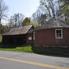
Putney was officially established in 1753 through a land grant petition and remained primarily agricultural under British rule. The town's lack of water power for mills preserved its rural character and the historic buildings and street layout that visitors can see today.
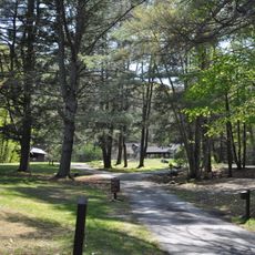
You reach Putney by following Route 5 into Main Street, with parking available at the town center. The best time to visit is during warmer months when farmers markets, orchards, and outdoor activities are in full operation.
The Putney General Store, established in 1796, is Vermont's oldest continuously operating general store and was rebuilt after devastating fires in 2008 and 2009 through a community restoration effort. It stands today as a symbol of the town's resilience and dedication to preserving its heritage.
The community of curious travelers
AroundUs brings together thousands of curated places, local tips, and hidden gems, enriched daily by 60,000 contributors worldwide.