Mount Torbert, Mountain summit in Kenai Peninsula, Alaska, United States
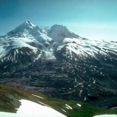
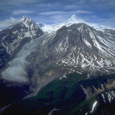
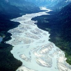
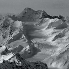
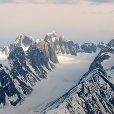
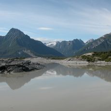
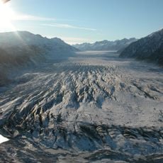
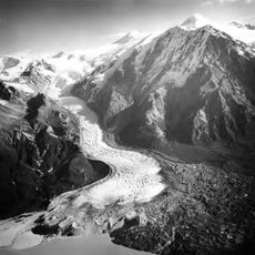
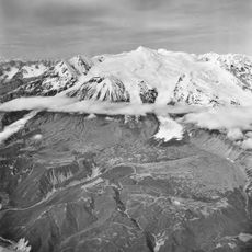
Mount Torbert is a mountain summit in the Tordrillo Mountains of southcentral Alaska, located northwest of Anchorage. Several named glaciers flow down its slopes, shaping the overall form of the peak.
The name was given in 1930 by the United States Geological Survey to honor John B. Torbert, a cartographer who worked on mapping Alaska during the 1920s. The peak has appeared in several editions of the Tyonek topographic map since that time.
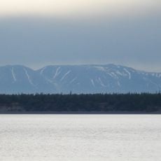
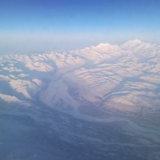
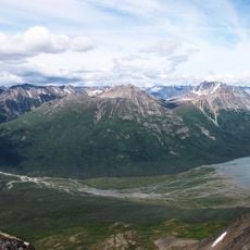
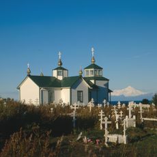
Mount Torbert sits in a part of Alaska that few people ever visit in person, making it a place known mostly to mountaineers and cartographers. Its name keeps alive the memory of the people who spent years mapping a land that was largely uncharted at the time.
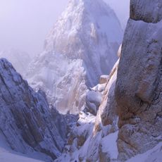
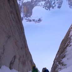
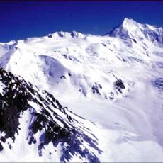
Reaching the summit requires advanced mountaineering skills and gear for glacier travel, including ice axes and ropes. Weather in this part of Alaska is most stable between June and August, which is when most attempts are made.
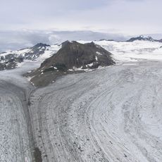
The mountain has three named glaciers on its slopes: Barrier Glacier, Crater Glacier, and Harpoon Glacier, each named after a feature of its surroundings. The name Harpoon Glacier refers to a nearby rock formation that resembles the tool.
The community of curious travelers
AroundUs brings together thousands of curated places, local tips, and hidden gems, enriched daily by 60,000 contributors worldwide.