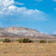
Laramie Peak, Mountain in Medicine Bow National Forest, Wyoming, US.
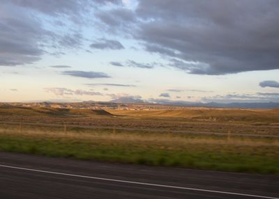
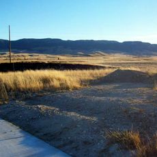
Laramie Peak is a mountain in Medicine Bow National Forest that rises as the highest point in the Laramie Range at 3,132 meters. Clear weather allows views across the landscape for more than 150 kilometers in all directions.
The mountain was named after French-Canadian fur trader Jacques La Ramee, who worked in this region during the 1820s. This naming marked it as a recognized landmark during the early exploration and settlement of the area.
The Arapaho and Cheyenne followed seasonal routes through these lands for hunting, making this peak a natural meeting point and landmark in their travels. The mountain remains a symbol of their long presence in this part of Wyoming.
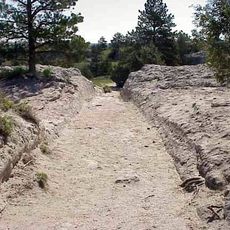
The trail begins at Friend Park Campground and leads to the summit over about 8 kilometers with steady elevation gain. Bring sturdy boots and plenty of water, as the higher sections involve steep climbing.
Writer Mark Twain described this peak in his 1871 book as a distinctive feature of the landscape, noting its deep blue color from a distance. This literary mention helped spread awareness of the mountain among early travelers and readers.
The community of curious travelers
AroundUs brings together thousands of curated places, local tips, and hidden gems, enriched daily by 60,000 contributors worldwide.