Belchertown, human settlement in Hampshire County, Massachusetts, United States of America
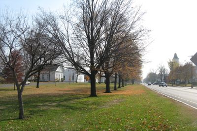
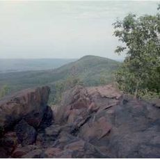
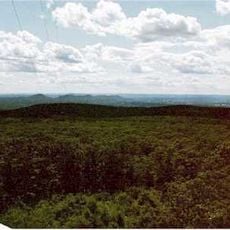
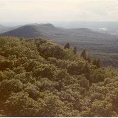
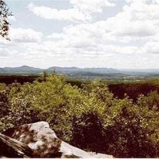
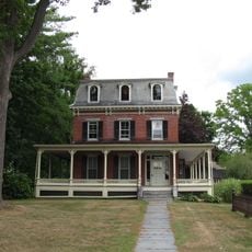
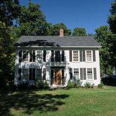
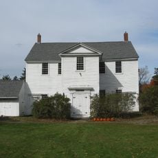
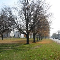
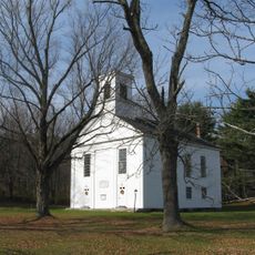
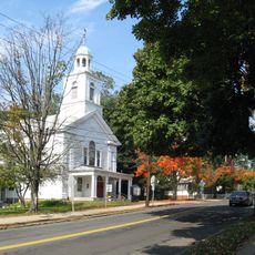
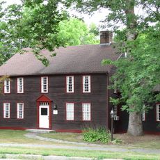
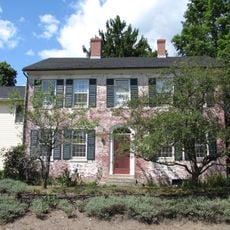
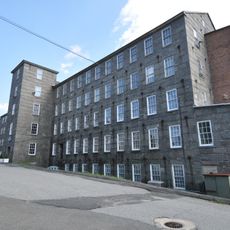
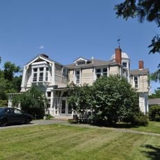
Belchertown is a town in Hampshire County, Massachusetts, situated on the western side of the Quabbin Reservoir. It features quiet streets, historic homes from the 1700s and 1800s, open green spaces, and scattered neighborhoods set among farms and meadows.
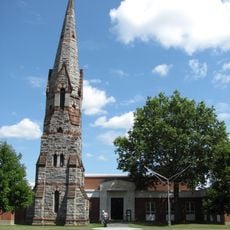
The region was inhabited by the Nipmuc and Norwottuck peoples roughly 7,000 years ago before European settlers arrived. Founded in 1731 as Cold Spring, it was officially renamed Belchertown in 1761 in honor of Governor Jonathan Belcher.
The town's name honors Governor Jonathan Belcher, a colonial leader whose legacy continues to shape community identity. Residents celebrate this heritage through local festivals and gatherings that connect visitors to the region's foundational past.
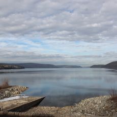
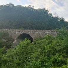
The town is easily reached via Interstate 90, located south of the area, providing quick access to larger cities like Northampton, Springfield, and Worcester. The Swift River marks the eastern border and contains wildlife areas suitable for nature observation and walking.
During the American Revolution, the town's militia units marched to Cambridge to participate in the opening shots of the war, with some buildings believed to have served as signal stations. This lesser-known involvement reveals how even small communities played direct roles in the independence struggle.
The community of curious travelers
AroundUs brings together thousands of curated places, local tips, and hidden gems, enriched daily by 60,000 contributors worldwide.