
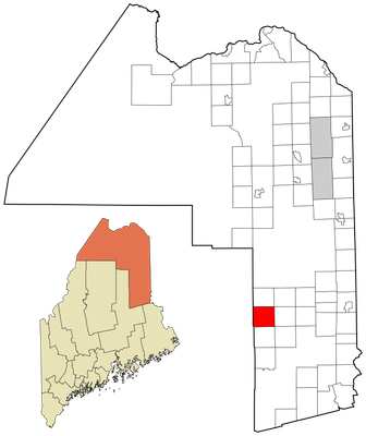
Hersey, human settlement in Aroostook County, Maine, United States of America
Location: Aroostook County
Elevation above the sea: 227 m
GPS coordinates: 46.07333,-68.43417
Latest update: April 20, 2025 03:24
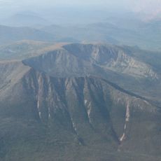
Katahdin
42.1 km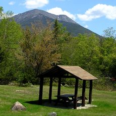
Baxter State Park
38.8 km
Houlton–Woodstock border crossing
50.9 km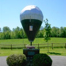
Double Eagle II
69.3 km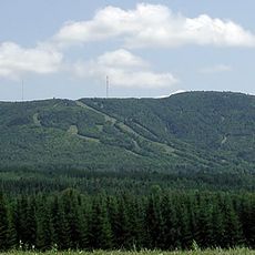
Mars Hill
69 km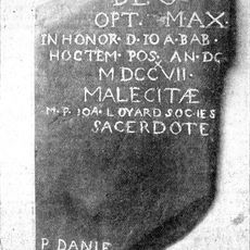
Meductic Indian Village / Fort Meductic
73.1 km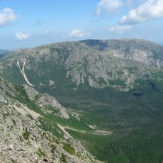
Hamlin Peak
41.6 km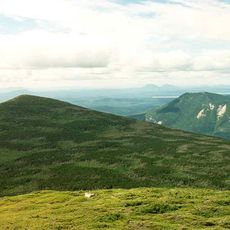
North Brother
44.5 km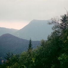
Doubletop Mountain
50.8 km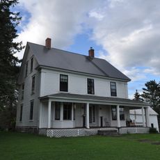
William Sewall House
14.6 km
Watson Settlement Bridge
51.2 km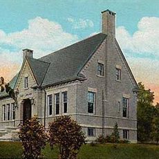
Cary Library
46.4 km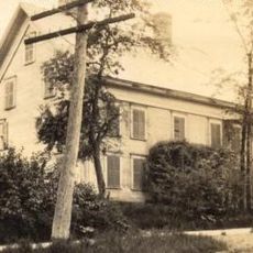
Blackhawk Putnam Tavern
46 km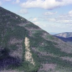
Mount Coe
47.1 km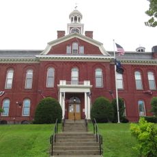
Aroostook County Courthouse and Jail
46.2 km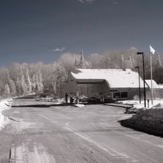
Orient – Fosterville Border Crossing
58.1 km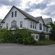
Island Falls Opera House
14.6 km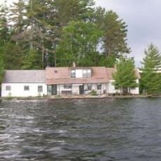
Ambajejus Boom House
52.1 km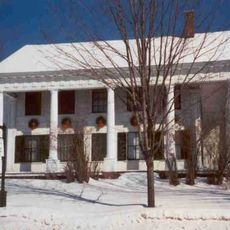
Charles Connell House
66.9 km
L. P. Fisher Public Library
67 km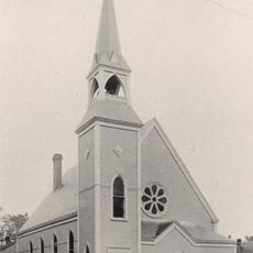
Unitarian Church of Houlton
46.4 km
Aroostook County Historical and Art Museum
46.4 km
Market Square Historic District
46.2 km
Old Carleton County Court House
67.2 km
Union Hall
63.8 km
First National Bank of Houlton
45.8 km
Walter P. Mansur House
46.2 km
Oakfield Grange, No. 414
22 kmReviews
Visited this place? Tap the stars to rate it and share your experience / photos with the community! Try now! You can cancel it anytime.
Discover hidden gems everywhere you go!
From secret cafés to breathtaking viewpoints, skip the crowded tourist spots and find places that match your style. Our app makes it easy with voice search, smart filtering, route optimization, and insider tips from travelers worldwide. Download now for the complete mobile experience.

A unique approach to discovering new places❞
— Le Figaro
All the places worth exploring❞
— France Info
A tailor-made excursion in just a few clicks❞
— 20 Minutes